342 m away
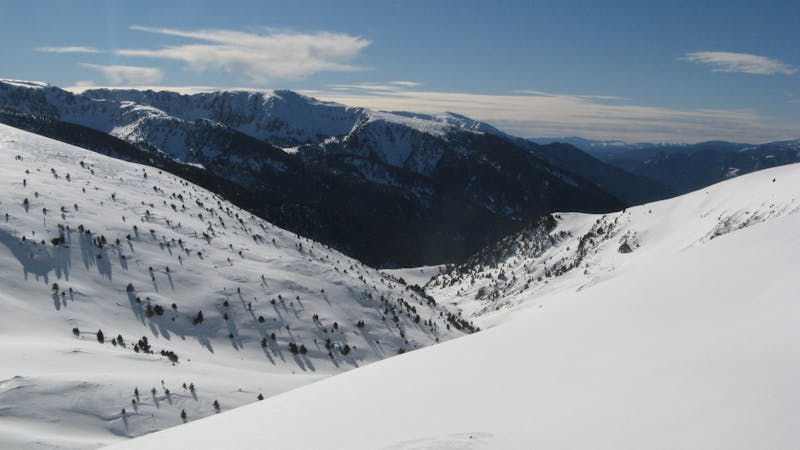
Cortals freeride area

An easy acces off-piste area
Moderate Freeride Skiing
- Distance
- 345 m
- Ascent
- 0 m
- Descent
- 121 m
Backcountry route for experienced riders
Freeride Skiing Difficult

From Cortals Valley at Colibri chairlift bottom station there is a creek heading west. That will be the entry point to this long route through the valley. Drop into the creek and go to the right as soon as you reach the cables from the Gondola. On the far down there is a little hill riding towards, there you will find what usually has a little creek shape just at the very bottom of the of hill, at this point it will get steeper. The bottom creek of Cortals valley is in front of you, the goal now will be traverse, keeping the bottom creek on your left. Gradually you will get closer until a point where the creek starts getting deep. This section might require a little hike up but always going on the right side of the creek and following its line. A long traverse is ahead which will follow the cables of the Funicamp to its middle station.
Difficult
Serious gradient of 30-38 degrees where a real risk of slipping exists.

As well as the slope itself, there are some obstacles (such as rock outcrops) which could aggravate injury.

In the high mountains or remote conditions, all individuals must be completely autonomous in every situation.
342 m away
An easy acces off-piste area
Moderate Freeride Skiing
973 m away

Short, technical, steep lines.
Difficult Freeride Skiing
1.2 km away

Short technical couloir
Difficult Freeride Skiing
1.3 km away

A wide freeride area
Moderate Freeride Skiing
1.3 km away

Short technical steep line
Difficult Freeride Skiing
1.3 km away

Fun off-piste through the woods
Easy Freeride Skiing
1.4 km away

A classic long off-piste area with easy terrain
Easy Freeride Skiing
1.5 km away

Steep, varied terrain
Difficult Freeride Skiing
1.5 km away

A freeride area with easy terrain.
Easy Freeride Skiing
1.8 km away

Lines among big rocks
Difficult Freeride Skiing
22 routes · Freeride Skiing