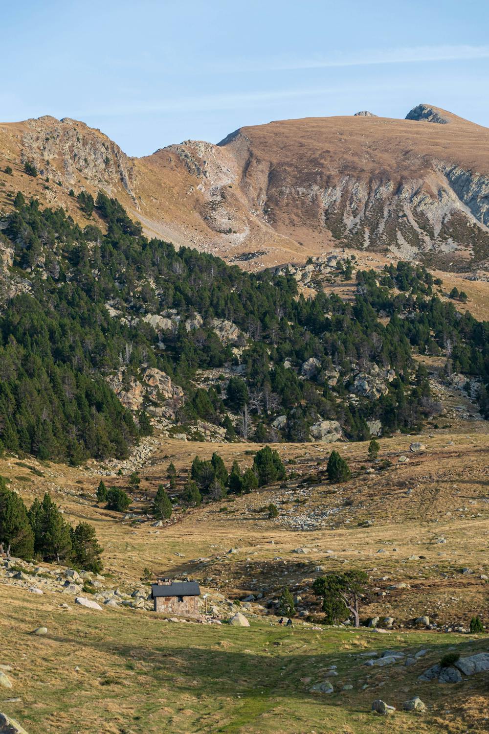
Refugio Perafita
caminata con mucha naturaleza x disfrutar
Hiking Moderate
- Distance
- 13 km
- Ascent
- 1.2 km
- Descent
- 1.2 km
- Duration
- 4-5 hrs
- Low Point
- 1 km
- High Point
- 2.2 km
- Gradient
- 15˚

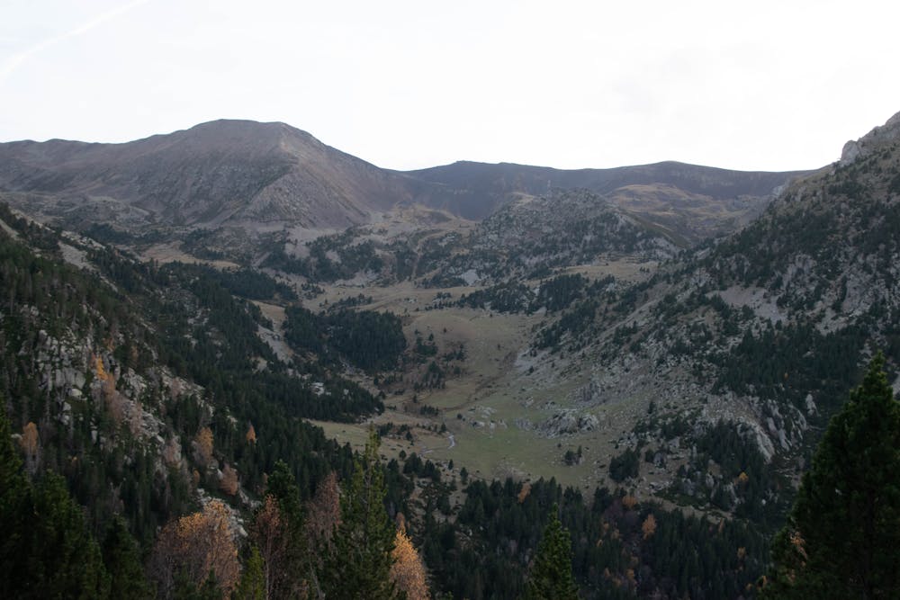
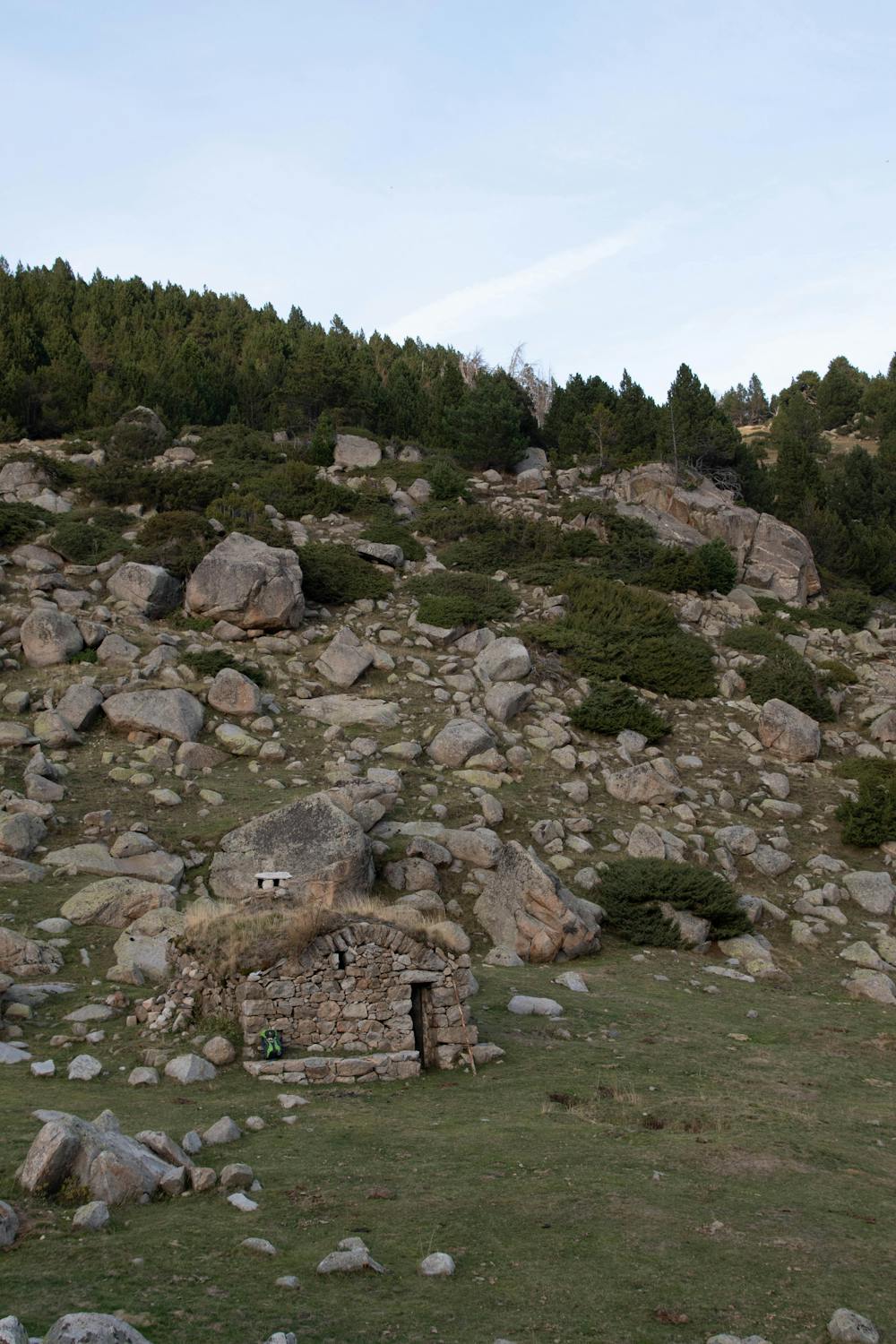
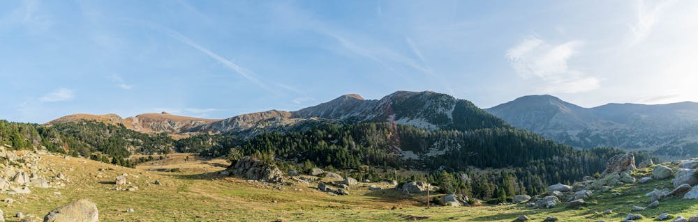
This is a popular hiking route which is generally considered to be moderate. It's very remote, it features low exposure and is typically done between June and November. From a low point of 1 km to the maximum altitude of 2.2 km, the route covers 13 km, 1204 vertical metres of ascent and 1205 vertical metres of descent.
- •
- •
- •
- •
- •
- •
- •
- •
- •
- •
- •
- •
Description
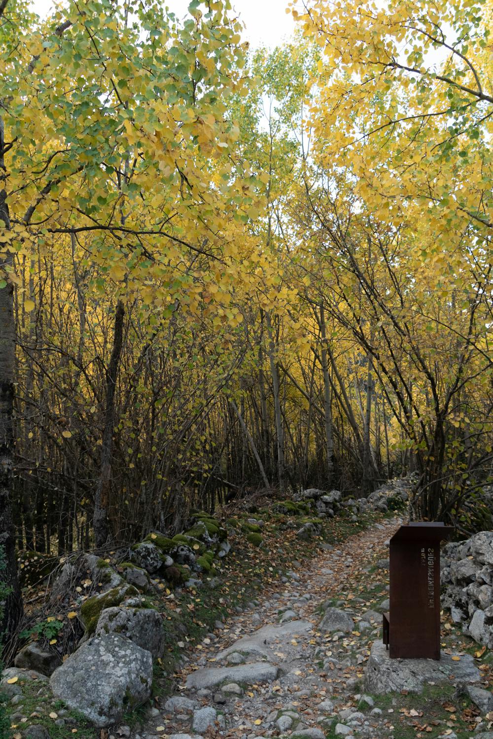
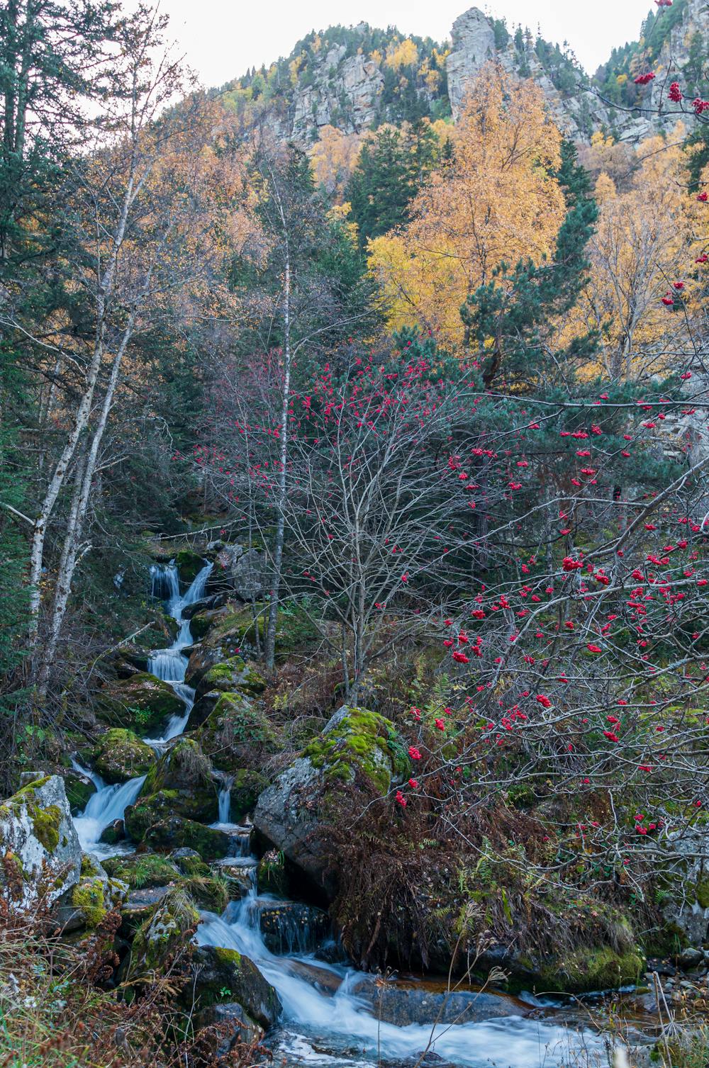
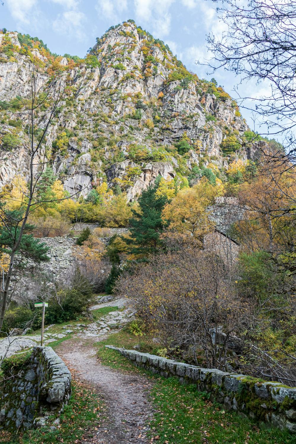
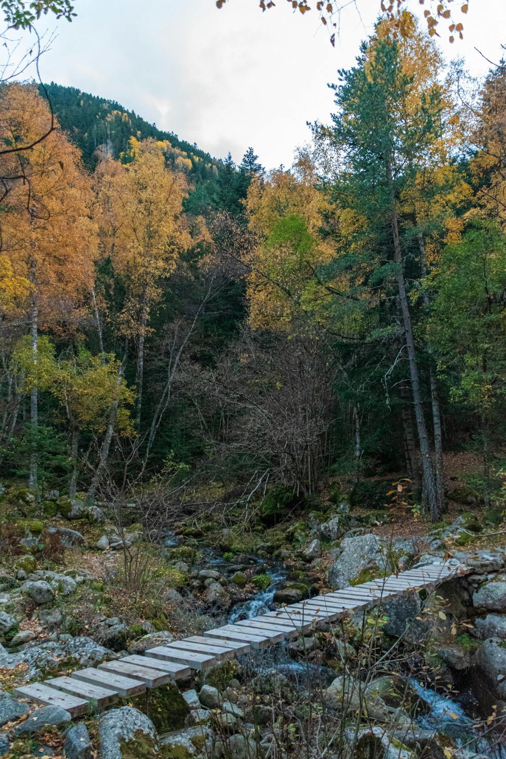
hermosa caminata que se adentra en el Valle madriu-perafita-claror, con muchos colores en otoño, no presenta dificultad técnica pero si tiene un gran desnivel. Tener buen estado físico y bastones para realizarlo sin sobresaltos.
Difficulty
Moderate
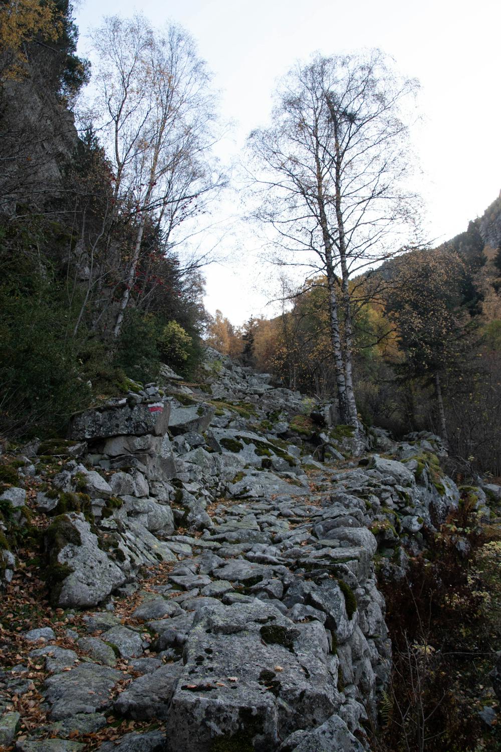
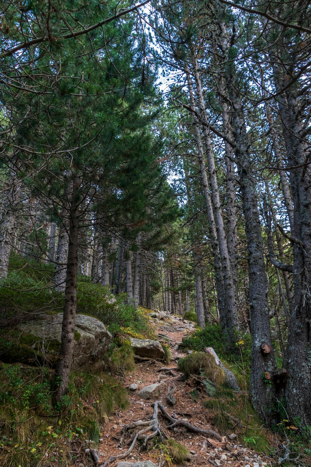
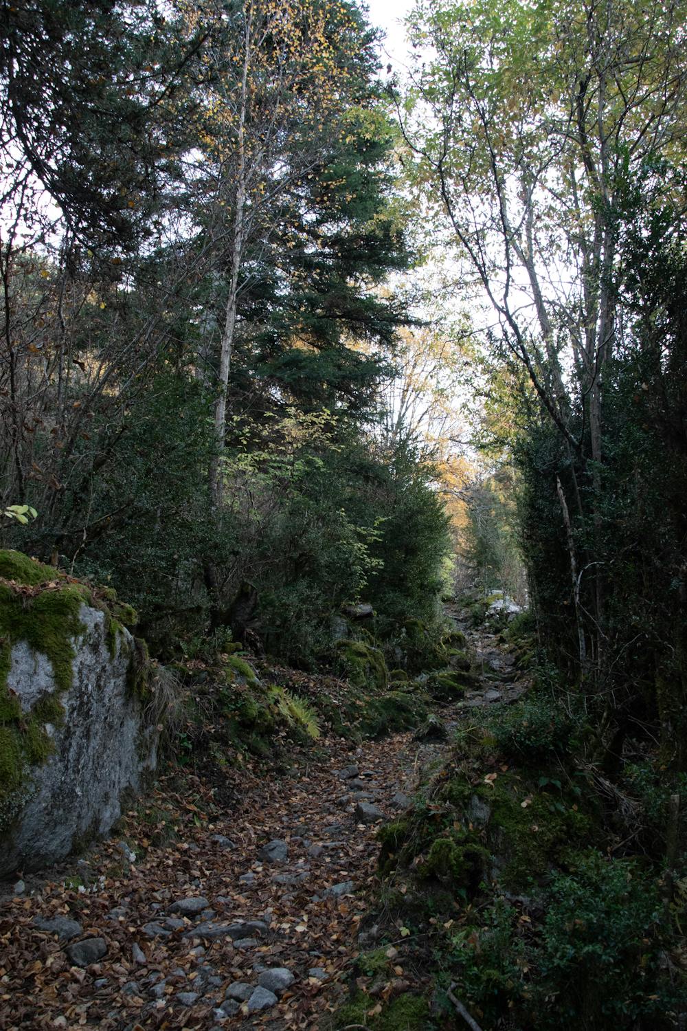
Hiking along trails with some uneven terrain and small hills. Small rocks and roots may be present.
Low Exposure

The path is on completely flat land and potential injury is limited to falling over.
Remoteness

Little chance of being seen or helped in case of an accident.