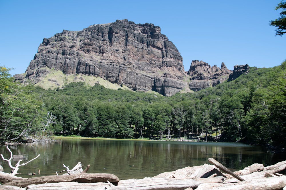
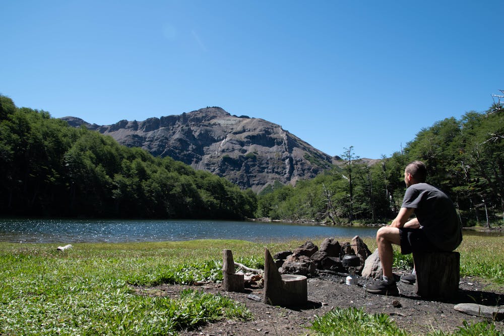
Laguna Verde
salida desde el barrio de Las Pendientes
Hiking Moderate
- Distance
- 20 km
- Ascent
- 964 m
- Descent
- 960 m
- Duration
- 5-6 hrs
- Low Point
- 1.4 km
- High Point
- 1.7 km
- Gradient
- 10˚

This is a popular hiking route which is generally considered to be moderate. It's very remote, it features medium exposure and is typically done between November and April. From a low point of 1.4 km to the maximum altitude of 1.7 km, the route covers 20 km, 964 vertical metres of ascent and 960 vertical metres of descent.
- •
- •
- •
- •
- •
- •
- •
- •
Description
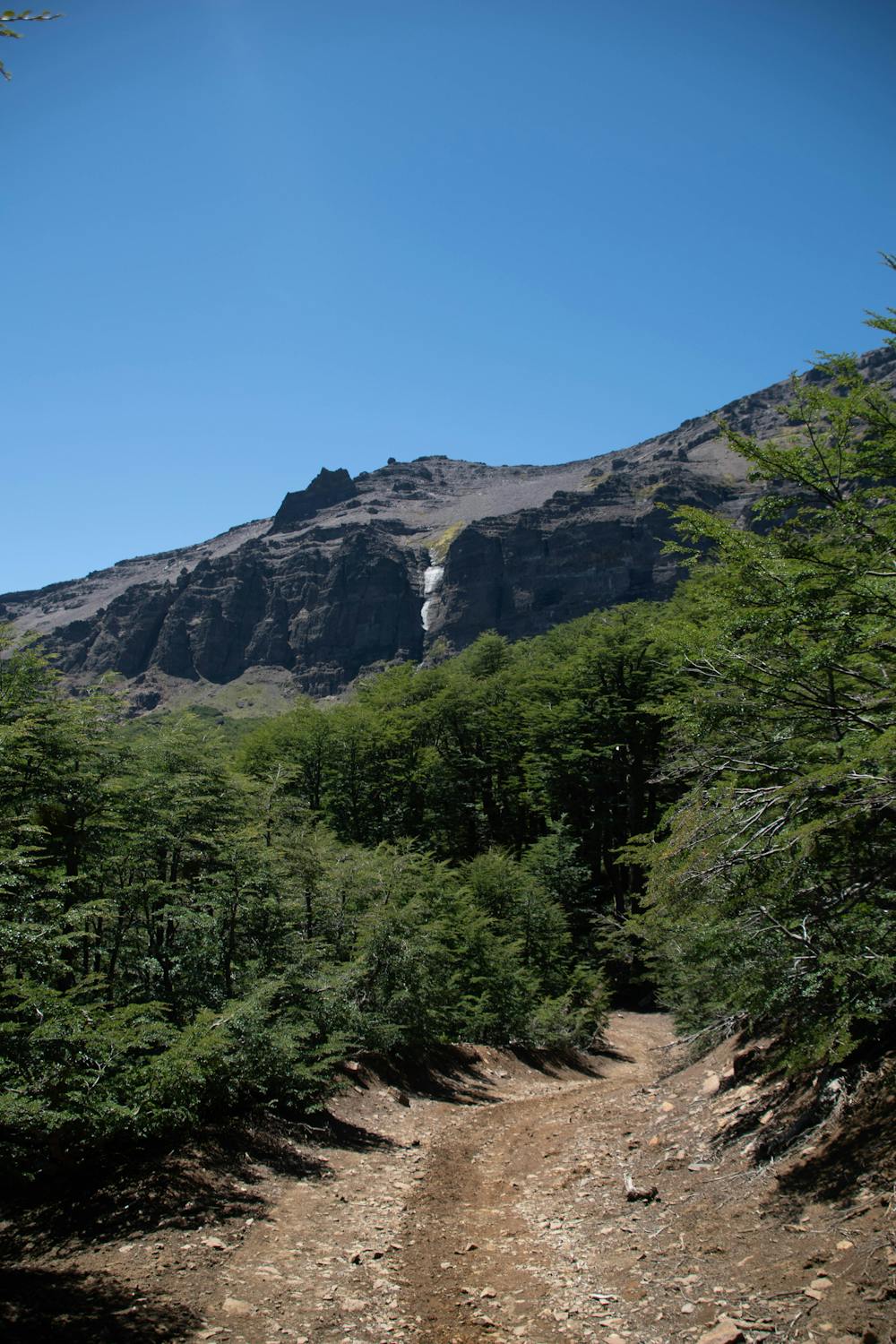
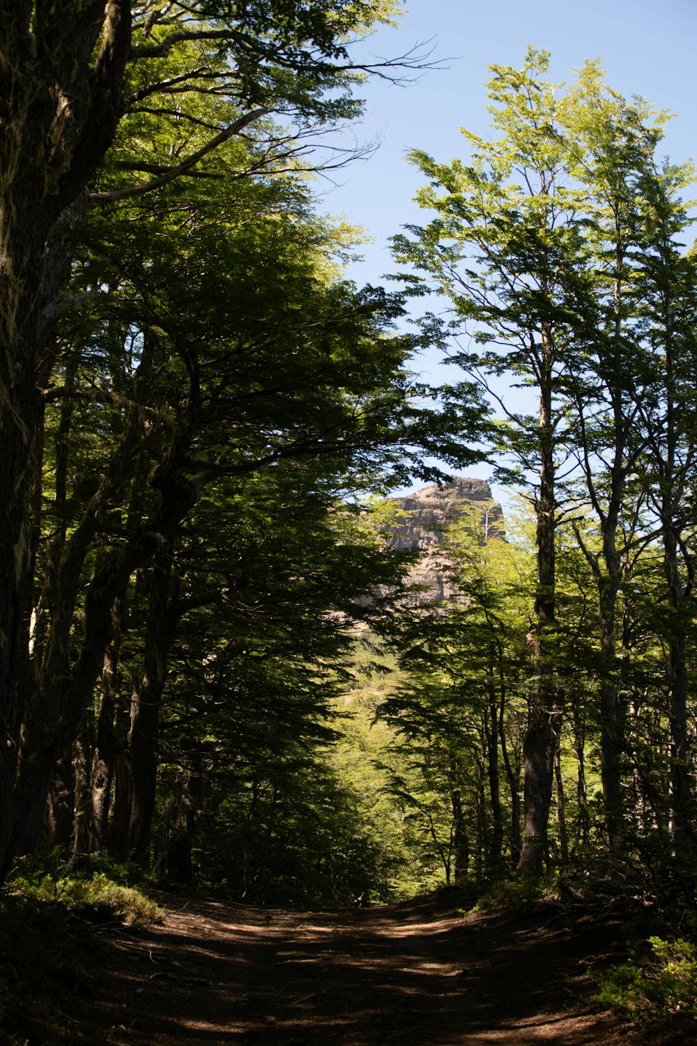
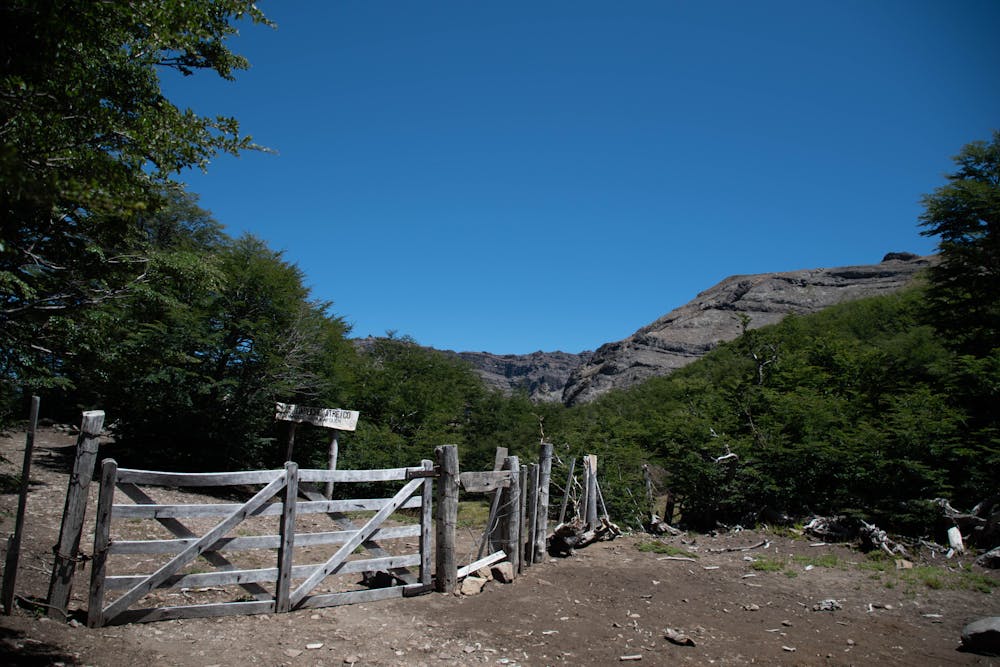
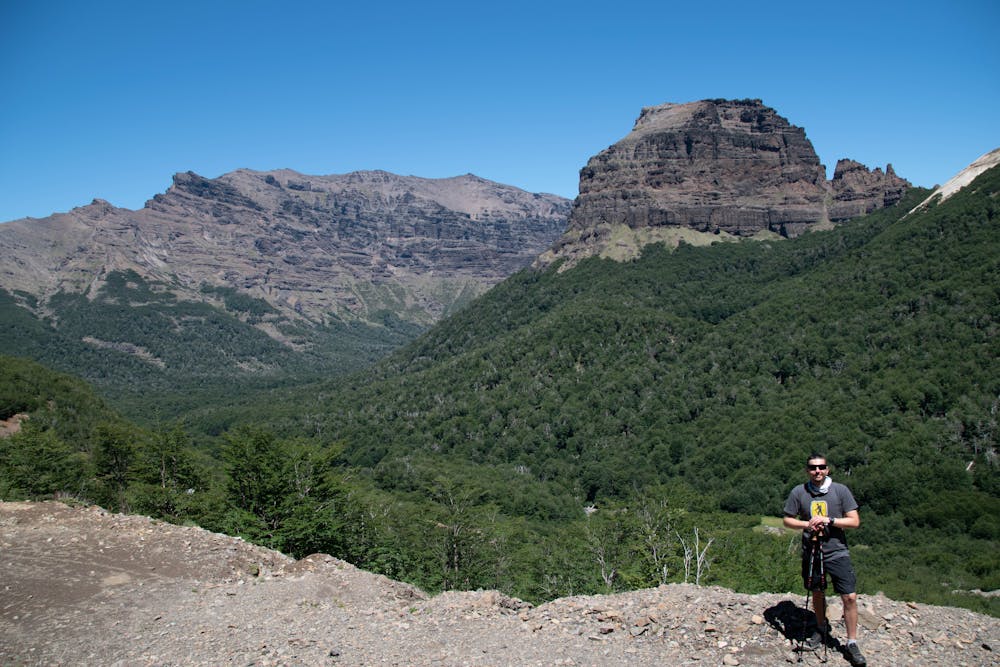
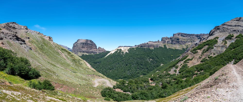
caminata desde Las Pendientes, bordeando el cerro Chapelco, en un momento se debe cruzar una tranquera, se sigue el camino marcado hasta llegar a una zona de aserradero donde hay que empezar a subir unos metros hasta llegar a la laguna.
Difficulty
Moderate
Hiking along trails with some uneven terrain and small hills. Small rocks and roots may be present.
Medium Exposure

The trail contains some obstacles such as outcroppings and rock which could cause injury.
Remoteness

Little chance of being seen or helped in case of an accident.