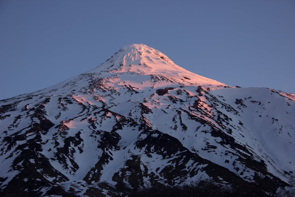
Lanín Volcano Normal Route
Araucania Andina's highest Volcano.
Ski Touring Difficult
- Distance
- 7.2 km
- Ascent
- 2.6 km
- Descent
- 0 m
- Duration
- 1 day +
- Low Point
- 1.2 km
- High Point
- 3.7 km
- Gradient
- 41˚

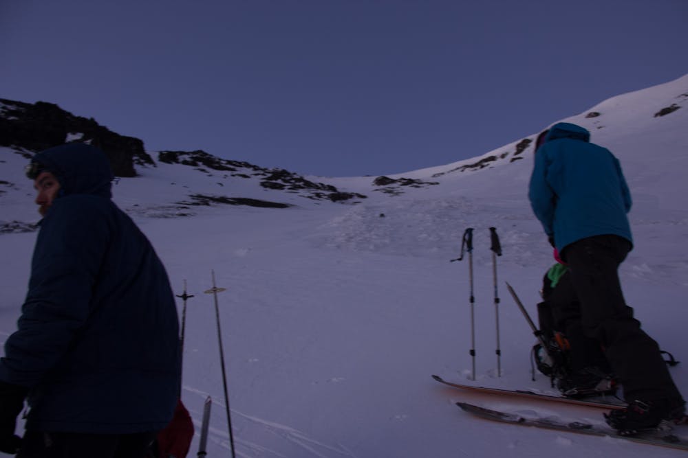
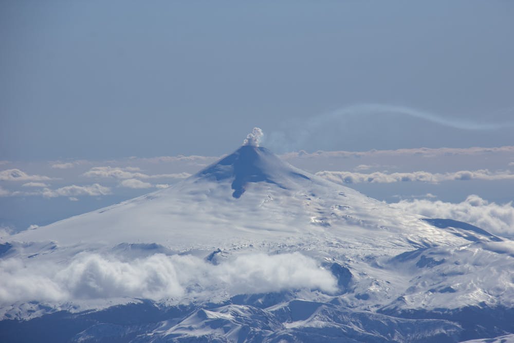
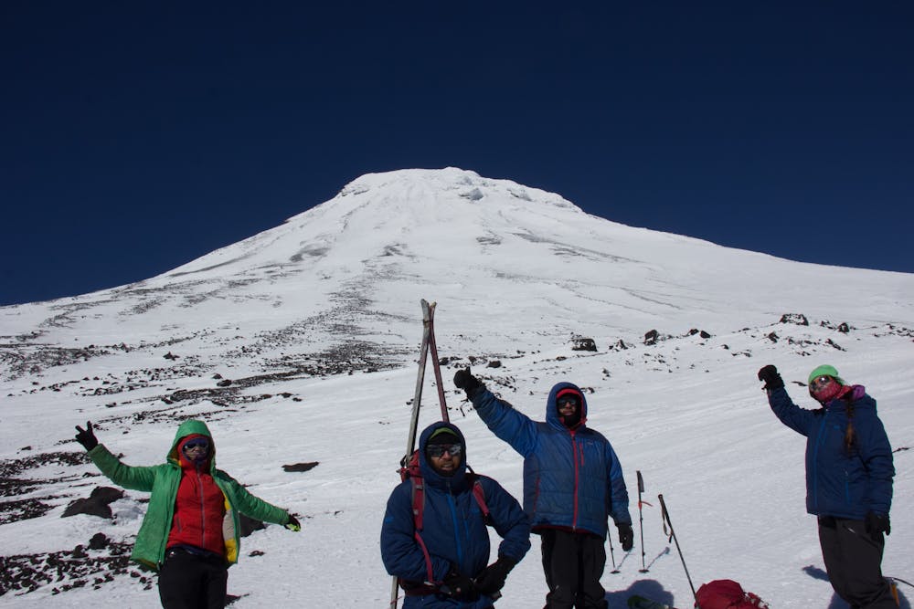
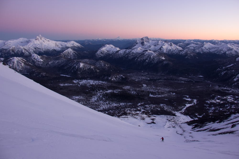
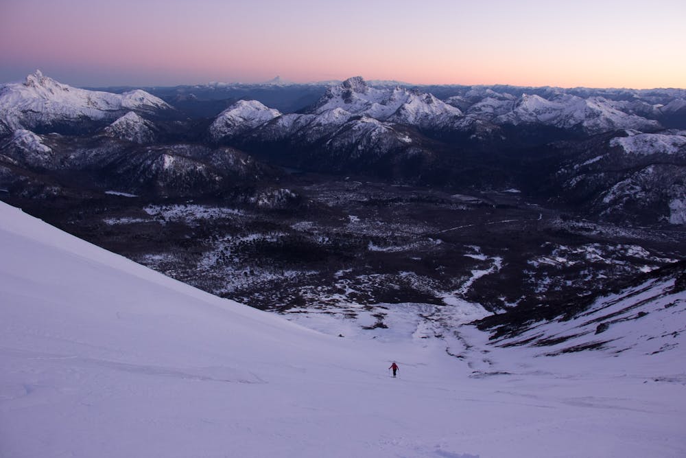
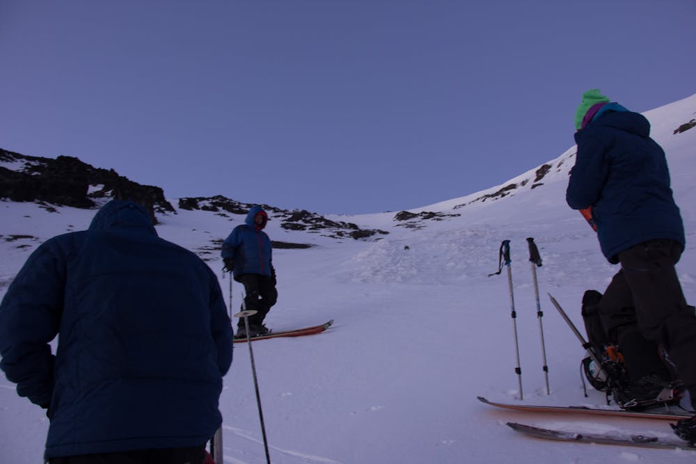
Lanin volcano, a large conical stratovolcano shared among neighboring countries stands tall as a guardian of the border. This giant's elevation is 12293ft (3747m) and demands good fitness and good skinning skills.
- •
- •
- •
- •
- •
- •
- •
- •
- •
- •
- •
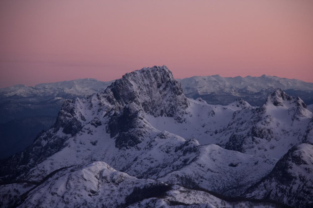
Description
"The most recent eruption took place about 2200 years ago and produced a small lava dome at the summit and a block lava flow to the north." (https://www.volcanodiscovery.com/es/lanin.html)
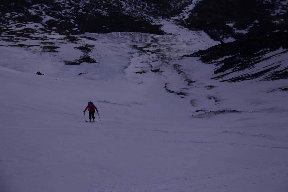
An average of 12hrs. back to back is a good estimate, anywhere near considering conditions. Southern alpine conditions always present.
Contact the local guides in Pucón for adventure programs.
Difficulty
Difficult
Serious gradient of 30-38 degrees where a real risk of slipping exists.
Medium Exposure (E2)

As well as the slope itself, there are some obstacles (such as rock outcrops) which could aggravate injury.
Remoteness
Away from help but easily accessed.
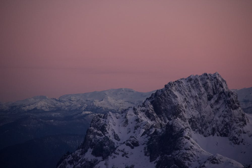
Best time to visit
Features
- Bowl
- Alpine
- Ski Mountaineering
Equipment required
- Skins
- Ice axe
- Crampons