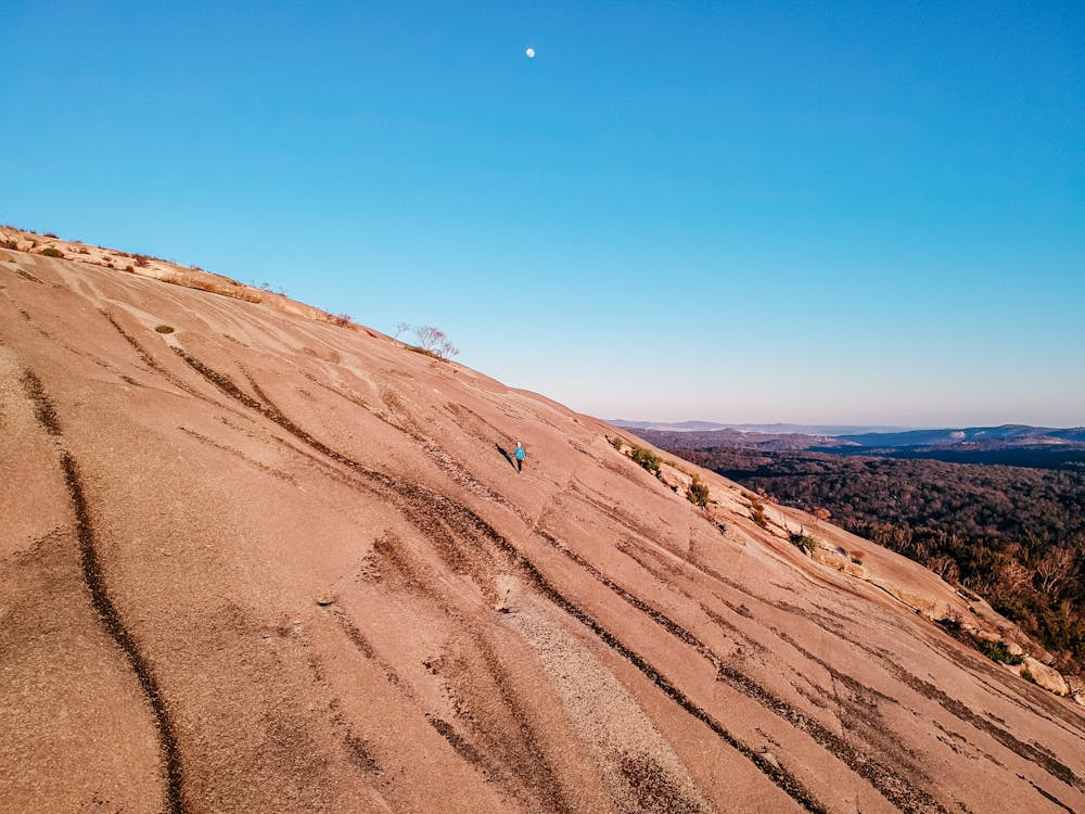
Bald Rock Summit
Bald Rock National Park
Hiking Moderate
- Distance
- 4.1 km
- Ascent
- 172 m
- Descent
- 172 m
- Duration
- 1-2 hrs
- Low Point
- 1.1 km
- High Point
- 1.3 km
- Gradient
- 11˚

This is a popular hiking route which is generally considered to be moderate. It's very remote, it features medium exposure and is typically done in an unknown time of year. From a low point of 1.1 km to the maximum altitude of 1.3 km, the route covers 4.1 km, 172 vertical metres of ascent and 172 vertical metres of descent.
Description
Short summit hike, granite rock, easy to follow, steep parts of the track, take extra care
Difficulty
Moderate
Hiking along trails with some uneven terrain and small hills. Small rocks and roots may be present.
Medium Exposure

The trail contains some obstacles such as outcroppings and rock which could cause injury.
Remoteness

Little chance of being seen or helped in case of an accident.
Features
- Wildlife
- Picturesque
- Summit Hike