Manly Dam Mountain Bike Track
The Manly Dam MTB from Manly Beach return
Mountain Biking Difficult
- Distance
- 22 km
- Ascent
- 365 m
- Descent
- 365 m
- Duration
- 1-2 hrs
- Low Point
- 0 m
- High Point
- 127 m
- Gradient
- 4˚

This is a popular mountain biking route which is generally considered to be difficult. It's not remote, it features low exposure and is typically done all year round. From a low point of 0 m to the maximum altitude of 127 m, the route covers 22 km, 365 vertical metres of ascent and 365 vertical metres of descent.
- •
- •
Description
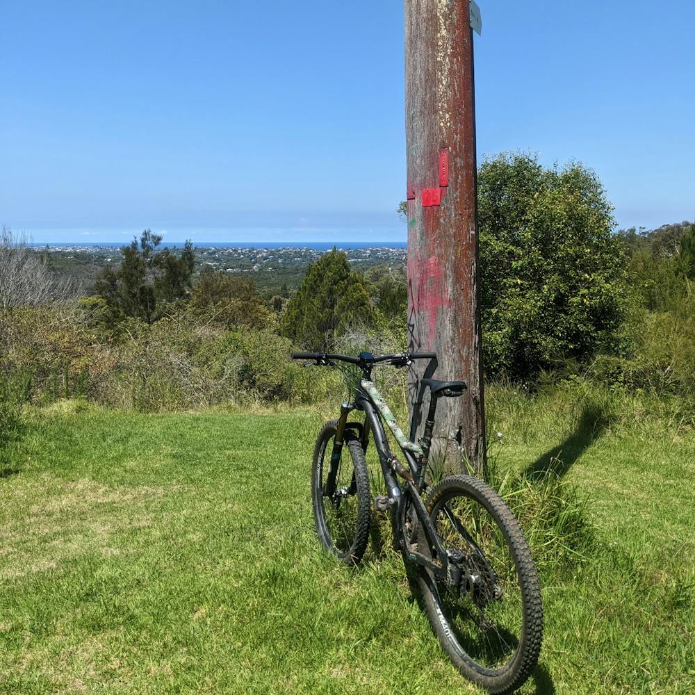
A mountain bike trail in the heart of Sydney with backcountry feels. The Manly Ferry accommodates bikes, so this ride is accessible from Sydney Central Business District (CBD) via public transport
Difficulty
Difficult
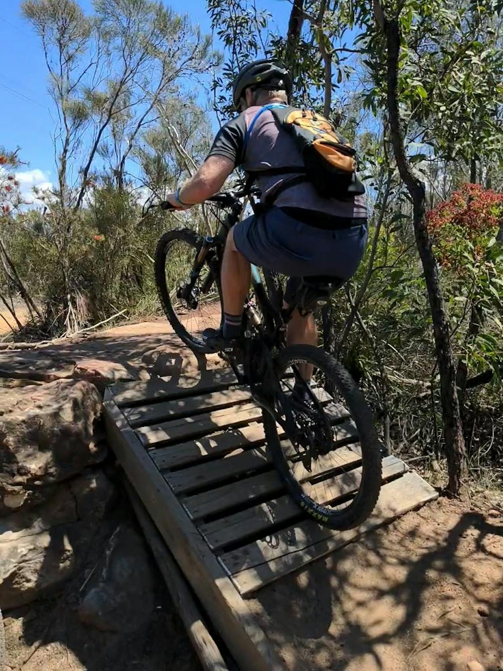
Mostly stable trail tread with some variability featuring larger and more unavoidable obstacles that may include, but not be limited to: bigger stones, roots, steps, and narrow curves. Compared to lower intermediate, technical difficulty is more advanced and grades of slopes are steeper. Ideal for upper intermediate riders.
Low Exposure

The path is on completely flat land and potential injury is limited to falling over.
Remoteness
Close to help in case of emergency.
Best time to visit
Features
- Technical
- Singletrack
- Road sections
- Drops