6 routes · Freeride Skiing · Ski Touring
Winter access to Guthega Trig
Ski Touring Moderate

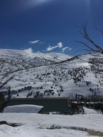
Accessible via the Guthega carpark, starting with a downhill run towards the dam following the management trail, watch out for iced up sections during the early morning. Once across the concrete road atop the dam, the route follows the ridge line uphill. This is a easy to moderate skin up to visit the old Guthega Trig station. If possible maintain the ridge line as you ascend, watching out for cornice by aiming to follow from close or within the trees towards the western face.
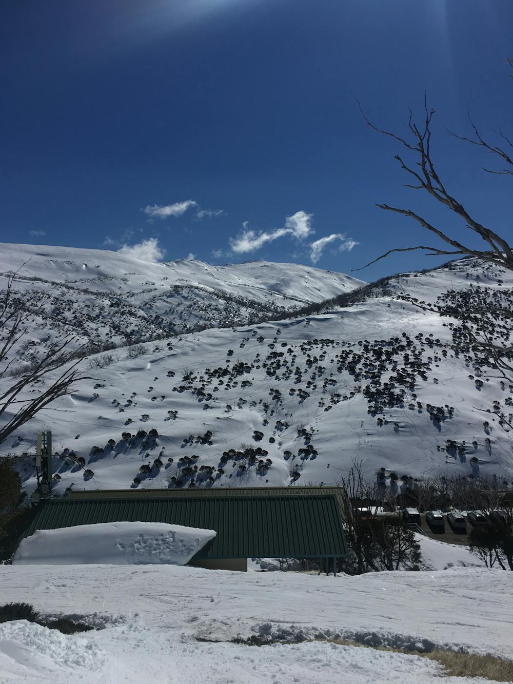
This route provides access to a mix of gentle to intermediate lines towards Falls Creek, in the upper sections, and gentler eastern facing tree runs in the lower sections. Beware if riding the ridge line back down, as this route is heavily trafficked with a mix of snow shoe, cross country, snow-play and fellow explorers.
Small cell mobile phone coverage is available on select network providers during the first half of the accent.
Moderate
Slopes become slightly steeper at around 25-30 degrees.

As well as the slope itself, there are some obstacles (such as rock outcrops) which could aggravate injury.
Away from help but easily accessed.
6 routes · Freeride Skiing · Ski Touring