6 routes · Freeride Skiing · Ski Touring
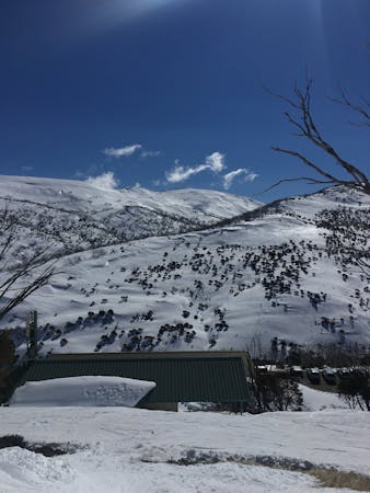
Nice scenic tour from Gugthea Dam via the Trig
Ski Touring Moderate

Following on from the Guthega Trig, this route continues along the ridge line towards the The Rolling Ground. You can follow the rock outcrops until you attain and maintain around 1920 metres, turning at this altitude west towards Consett Stephen Pass.
Once at the pass, on a clear day you will have views north towards Mount Gungartan and even Jagungal. As you round south to ascend the main range ridge toward Mount Tate, be mindful of significant snow cornice formations.
Once reaching the top of Mount Tate enjoy the often stunning views south east towards the Crags, Mount Twynam, Carruthers Peak and see if you can seperate your Mount Townsend from your Mount Kosciuszko.
Moderate
Slopes become slightly steeper at around 25-30 degrees.

In case of a fall, death is highly likely.
Little chance of being seen or helped in case of an accident.
6 routes · Freeride Skiing · Ski Touring