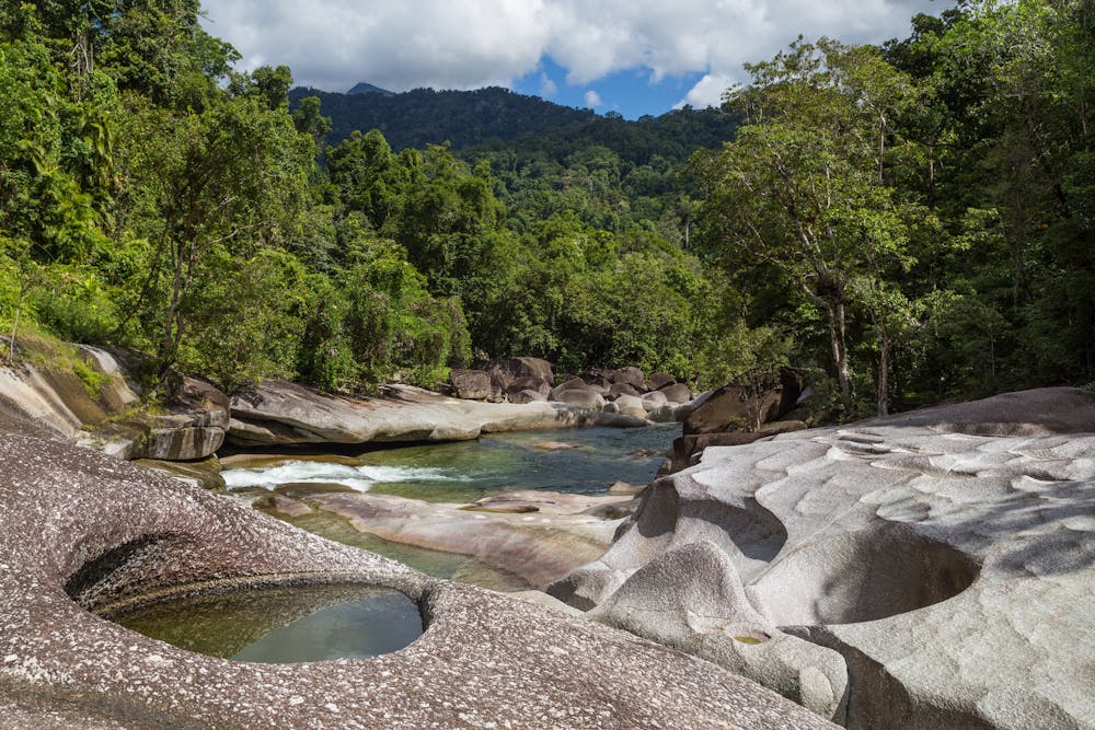
Babinda Boulders
An easy walk through a fascinating - and beautiful - part of Queensland, the Babinda Boulders offers a unique insight into the geological history of the area.
Hiking Easy
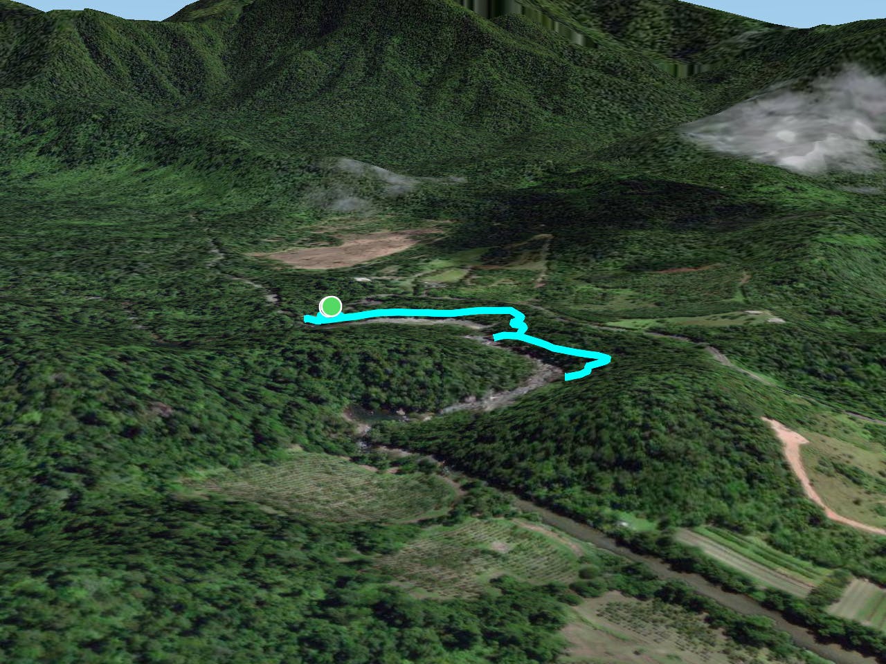
- Distance
- 1.6 km
- Ascent
- 17 m
- Descent
- 16 m
- Duration
- 0-1 hrs
- Low Point
- 58 m
- High Point
- 67 m
- Gradient
- 1˚
The Babinda Boulders Walk is a popular tourist attraction located in the town of Babinda in Queensland, Australia. It is a short, self-guided walk that takes visitors through a rainforest area that is home to a series of large, smooth boulders that have formed in the floodplain of the Babinda Creek.
Description
The walk begins at the Babinda Boulders Visitor Centre, where visitors can learn about the history and geology of the area. From there, the walk takes visitors along a well-marked and easy-to-follow path through the rainforest, passing by a series of large boulders that have been smoothed and polished over time by the action of the water in the creek.
Along the way, there are several viewing platforms and rest areas where visitors can take in the beauty of the surrounding rainforest and the boulders. The walk takes about an hour to complete, depending on how long visitors spend at each stop along the way.
Overall, the Babinda Boulders Walk is a great way to experience the natural beauty of the region and learn about the geological history of the area. It is suitable for people of all ages and fitness levels, and is a popular activity for families and visitors to the area.
Difficulty
Easy
Walking along a well-kept trail that’s mostly flat. No obstacles are present.
Remoteness

Close to help in case of emergency.
Best time to visit
Features
- Picturesque
- Water features
- Family friendly