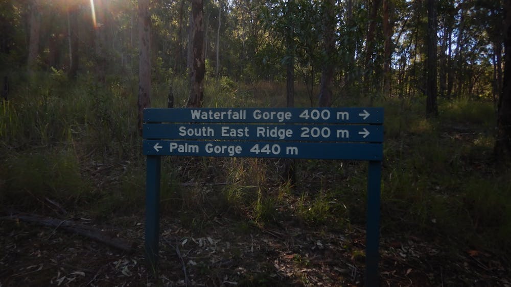
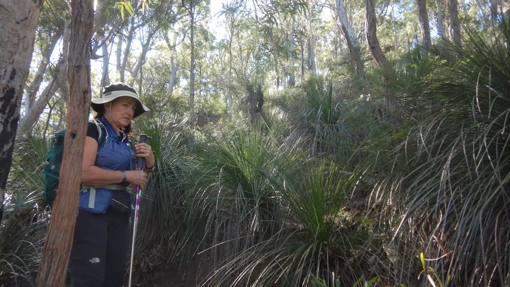
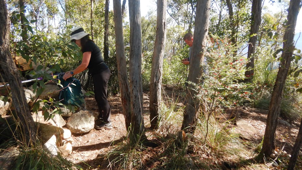
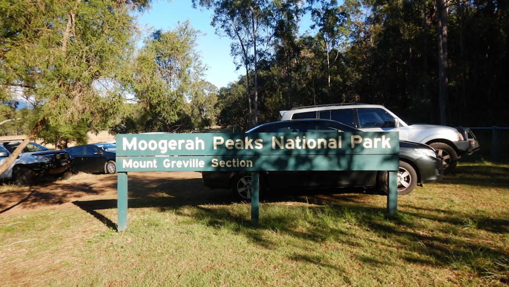
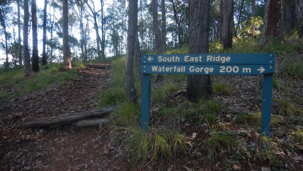
Mt Greville
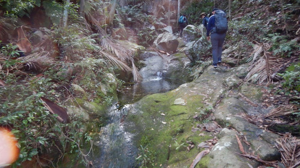
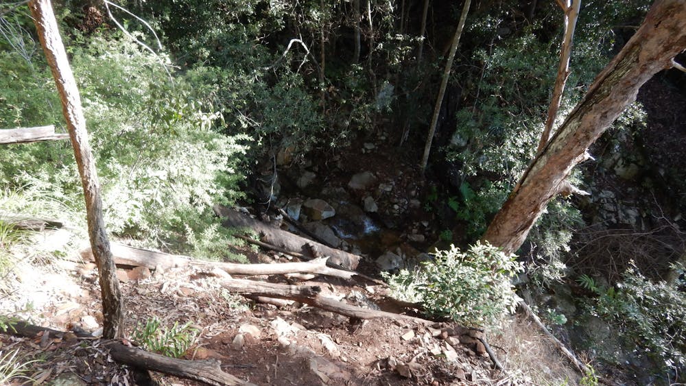
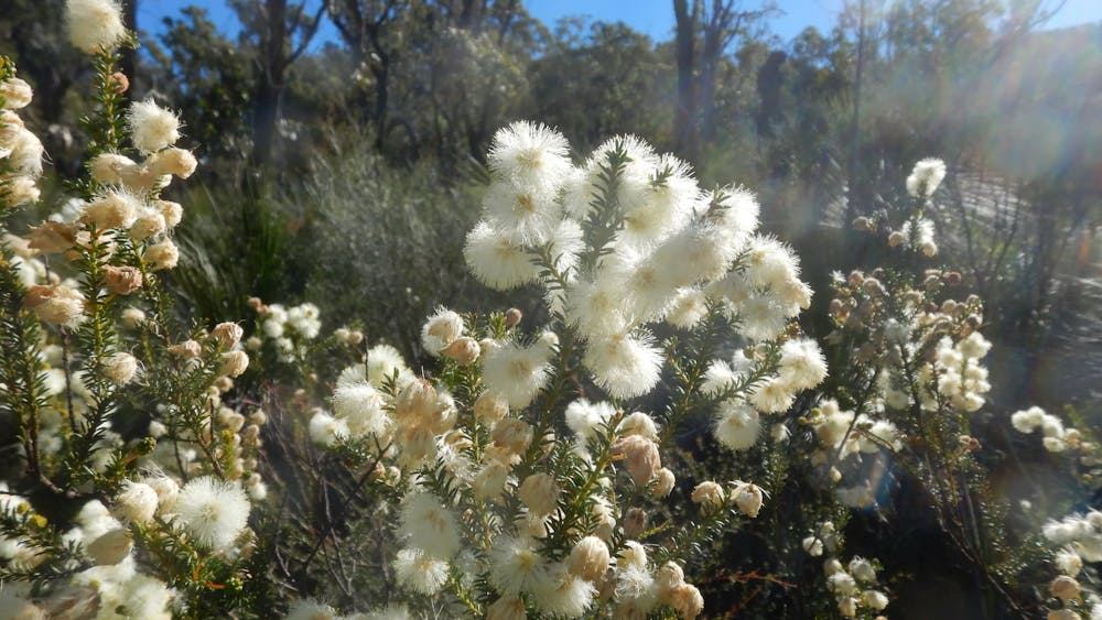
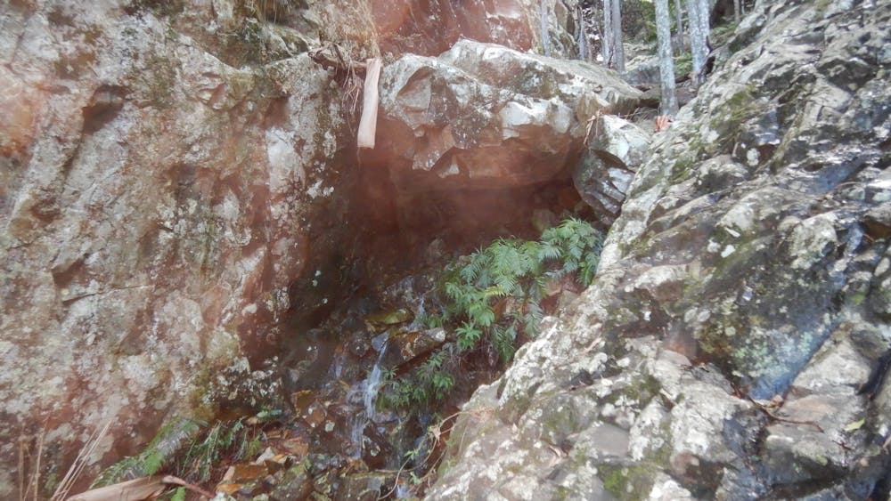
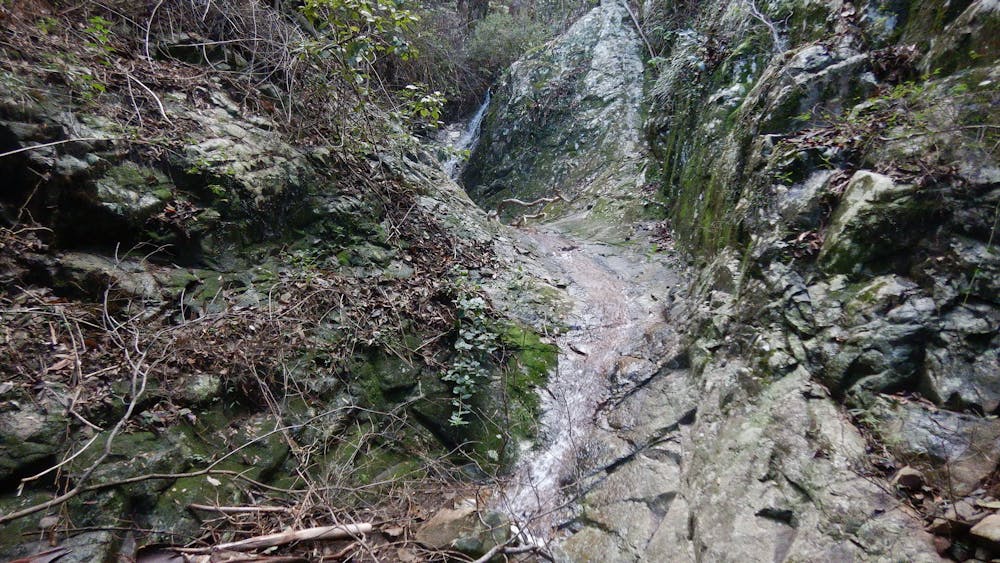
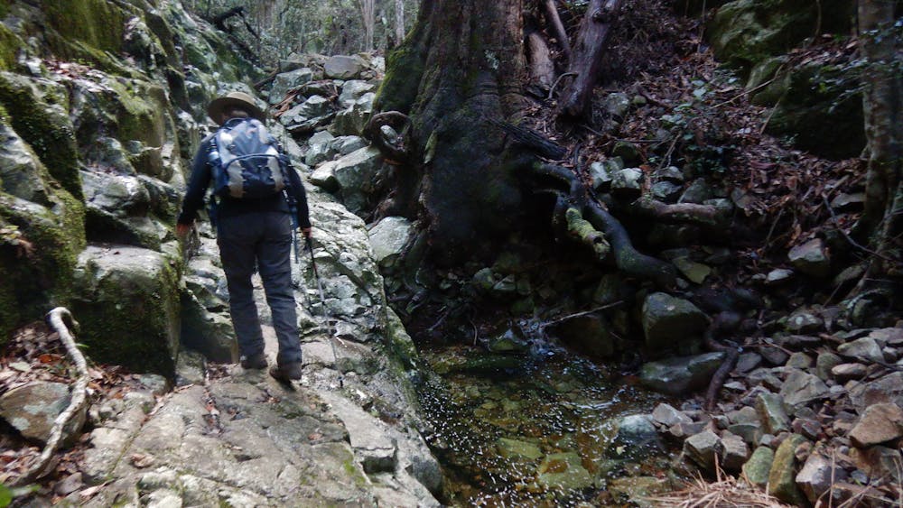
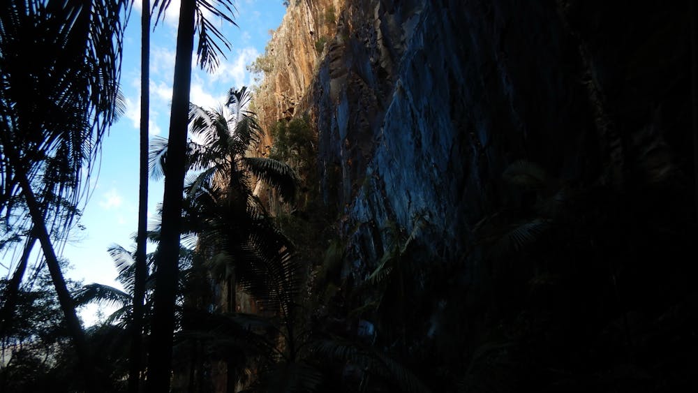
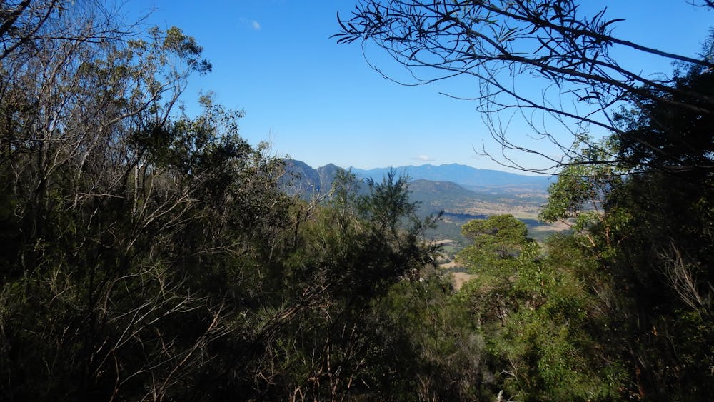
Mountain views combined with cascades, pools and waterfalls.
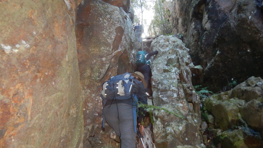
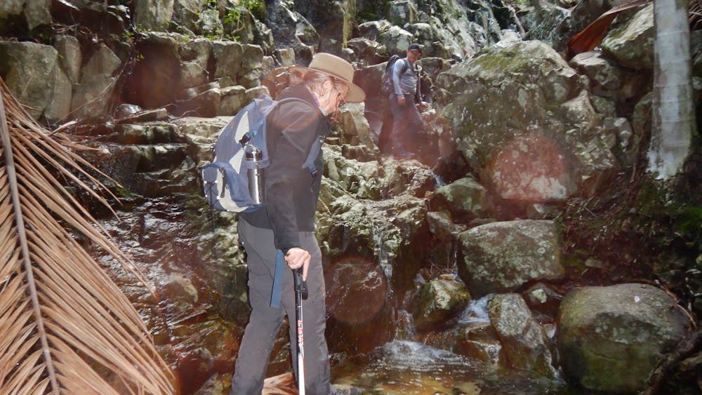
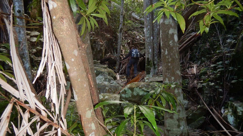
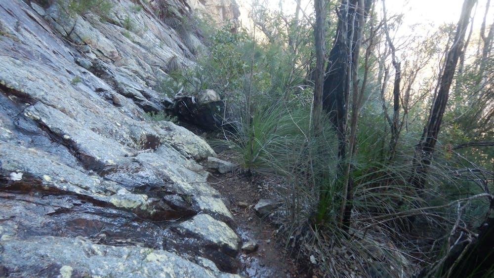
Hiking Difficult
- Distance
- 7.5 km
- Ascent
- 635 m
- Descent
- 638 m
- Duration
- 2-3 hrs
- Low Point
- 175 m
- High Point
- 751 m
- Gradient
- 14˚

This is a popular hiking route which is generally considered to be difficult. It's remote, it features medium exposure and is typically done all year round. From a low point of 175 m to the maximum altitude of 751 m, the route covers 7.5 km, 635 vertical metres of ascent and 638 vertical metres of descent.
- •
- •
- •
- •
- •
- •
- •
- •
- •
- •
- •
- •
- •
- •
- •
- •
- •
- •
- •
- •
- •
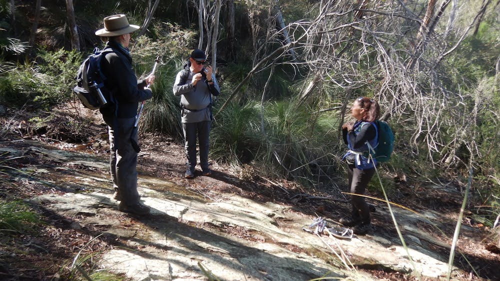
Description
Mountain views combined with cascades, pools and waterfalls.
Difficulty
Difficult
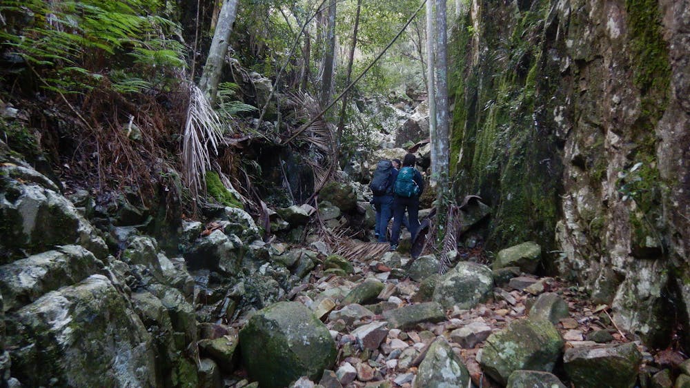
Hiking trails where obstacles such as rocks or roots are prevalent. Some obstacles can require care to step over or around. At times, the trail can be worn and eroded. The grade of the trail is generally quite steep, and can often lead to strenuous hiking.
Medium Exposure

The trail contains some obstacles such as outcroppings and rock which could cause injury.
Remoteness
Away from help but easily accessed.
Best time to visit
Features
- Picturesque
- Summit Hike
- Water features