Pages Pinnacle
Ridgeline Views
Hiking Moderate
- Distance
- 6 km
- Ascent
- 323 m
- Descent
- 322 m
- Duration
- 1-2 hrs
- Low Point
- 108 m
- High Point
- 353 m
- Gradient
- 9˚

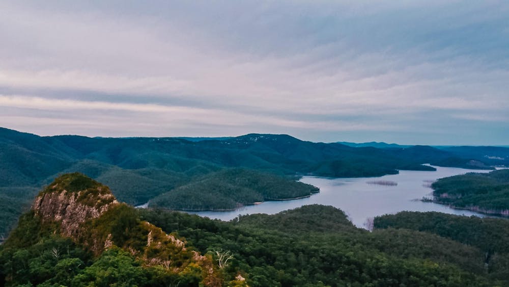
This is a popular hiking route which is generally considered to be moderate. It's not remote, it features high exposure and is typically done in an unknown time of year. From a low point of 108 m to the maximum altitude of 353 m, the route covers 6 km, 323 vertical metres of ascent and 322 vertical metres of descent.
- •
- •
- •
- •
Description
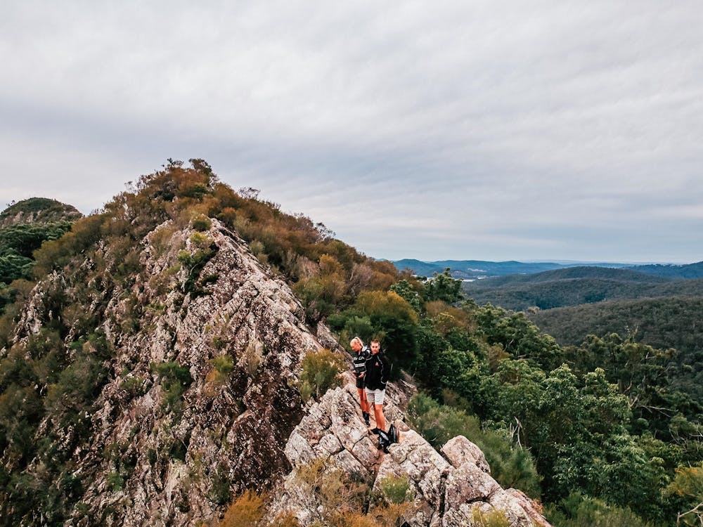
Ridge Line Views over Advancetown Lake
Difficulty
Moderate
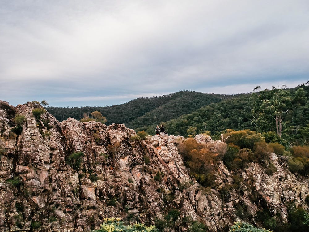
Hiking along trails with some uneven terrain and small hills. Small rocks and roots may be present.
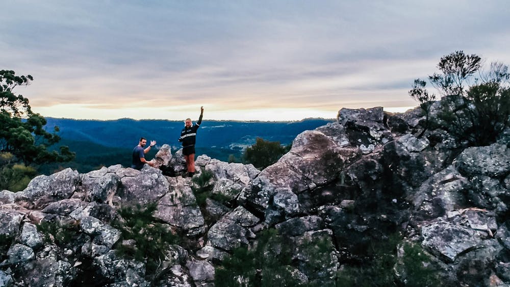
High Exposure

Some trail sections have exposed ledges or steep ascents/descents where falling could cause serious injury.
Remoteness

Close to help in case of emergency.
Features
- Picturesque
- Summit Hike