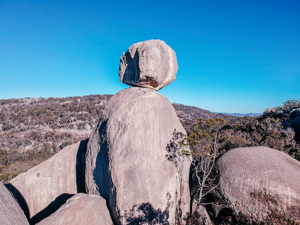
Sphinx Hike
Girraween National Park
Trail Running Easy
- Distance
- 8.2 km
- Ascent
- 260 m
- Descent
- 260 m
- Duration
- 1-2 hrs
- Low Point
- 885 m
- High Point
- 1.1 km
- Gradient
- 5˚

This is a popular trail running route which is generally considered to be easy. It's remote, it features low exposure and is typically done in an unknown time of year. From a low point of 885 m to the maximum altitude of 1.1 km, the route covers 8.2 km, 260 vertical metres of ascent and 260 vertical metres of descent.
Description
Easy trail walking to the Sphinx and turtle rock
Difficulty
Easy
Low Exposure

The path is on completely flat land and potential injury is limited to falling over.
Remoteness

Away from help but easily accessed.