Warrie Circuit + Pinnacle Summit
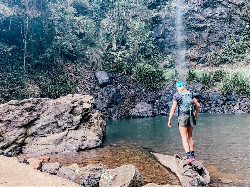
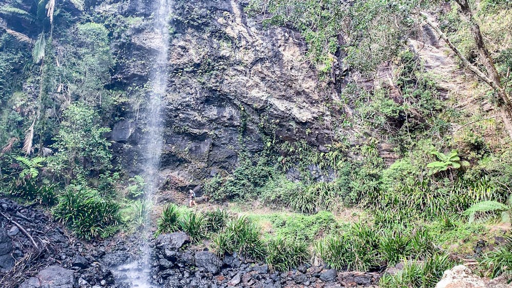
Many cool waterfalls
Trail Running Moderate
- Distance
- 15 km
- Ascent
- 835 m
- Descent
- 835 m
- Duration
- 2-3 hrs
- Low Point
- 366 m
- High Point
- 788 m
- Gradient
- 12˚

This is a popular trail running route which is generally considered to be moderate. It's remote, it features medium exposure and is typically done in an unknown time of year. From a low point of 366 m to the maximum altitude of 788 m, the route covers 15 km, 835 vertical metres of ascent and 835 vertical metres of descent.

- •
- •
- •
- •
- •
Description
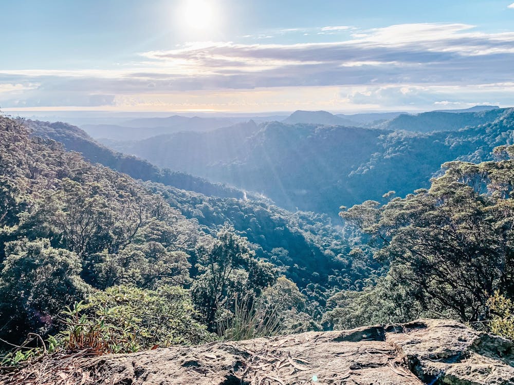
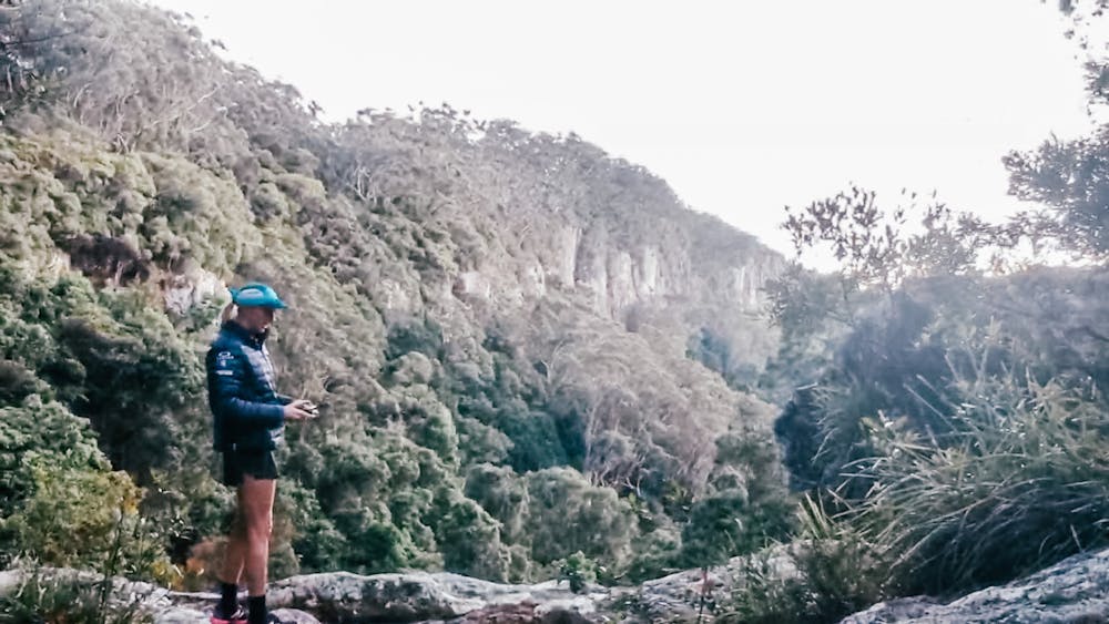
Warrie Circuit is a 13km loop track, includes the twin falls track, option to head out to the Pinnacle summit for spectacular views across the Gold Coast
Difficulty
Moderate
Medium Exposure

The trail contains some obstacles such as outcroppings and rock which could cause injury.
Remoteness
Away from help but easily accessed.