Mount Lofty Summit Trail
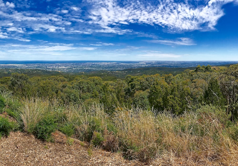
Boasting 360 degree views of the Mount Lofty Ranges, Adelaide Hills, Adelaide and the Coast, it's easy to see why the Mount Lofty Summit draws visitors throughout the year.
Hiking Easy
- Distance
- 8 km
- Ascent
- 496 m
- Descent
- 496 m
- Duration
- 2-3 hrs
- Low Point
- 277 m
- High Point
- 712 m
- Gradient
- 10˚

It's easy to see why people are drawn to Mount Lofty - the highest peak in the Adelaide Hills. Not only does the summit (727m) boast some of the finest views of the surrounding countryside, city and coastline, but its proximity and ease of access make it popular with locals and tourists alike.
Description
Don't let the prospect of crowds put you off, though. Because while it's possible too nigh on drive to the summit of the mountain, there are plenty of beautiful trails winding their way through the surrounding parks. All of these trails are immersed in native flora and fauna, and many of them lead towards the summit.
One of the more interesting routes to the top is via Waterfall Gully, a trail that begins at the Waterfall Gully car park. An 8km / 2-3 hour hike, the climb takes in views of Waterfall Gully - the highest of eight waterfalls in the park. A steep climb that follows the Gully up towards the summit, the trail heads through stringybark forest on its way through the Park. Nearer to the summit the trail steepens, before emerging at the summit.
As well as the views, the summit also boasts a cafe to get refreshments before following the Waterfall Gully trail back towards the car park.
Difficulty
Easy
Walking along a well-kept trail that’s mostly flat. No obstacles are present.
Remoteness

Close to help in case of emergency.
Best time to visit
Features
- Wildlife
- Picturesque
- Summit Hike
- Water features
- Forestry or heavy vegetation