Rawnsley Park Station Pines Cave Trail
Rawnsley Park Station Pines Cave Trail
Hiking Moderate
- Distance
- 7.3 km
- Ascent
- 204 m
- Descent
- 204 m
- Duration
- 1-2 hrs
- Low Point
- 419 m
- High Point
- 524 m
- Gradient
- 6˚

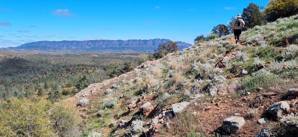
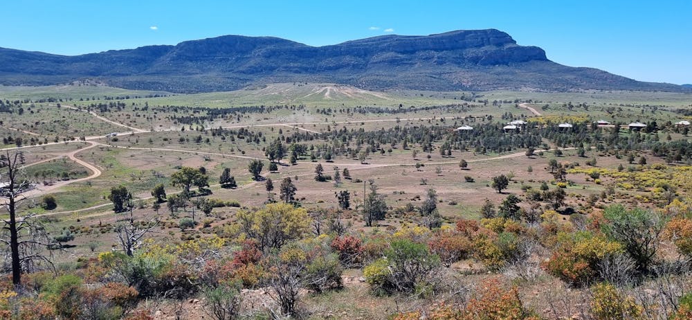
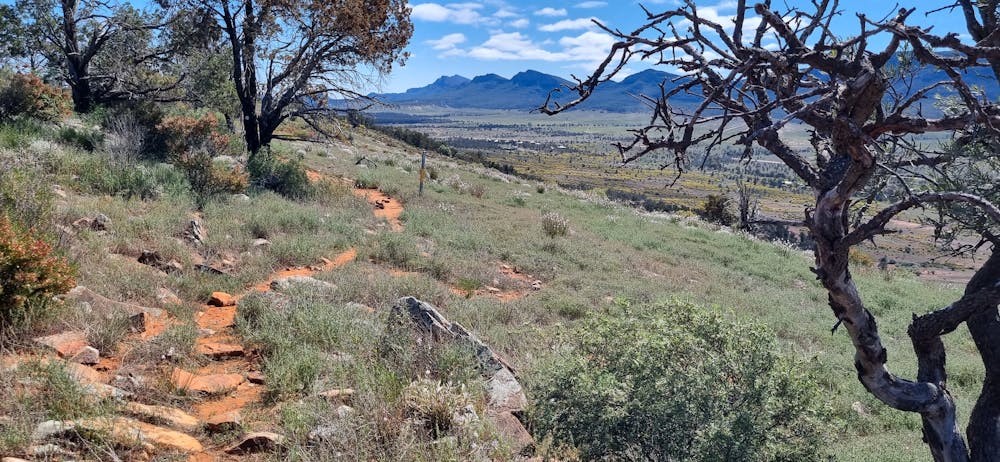
This is a popular hiking route which is generally considered to be moderate. It's remote, it features high exposure and is typically done between May and November. From a low point of 419 m to the maximum altitude of 524 m, the route covers 7.3 km, 204 vertical metres of ascent and 204 vertical metres of descent.
- •
- •
- •
- •
- •
- •
Description
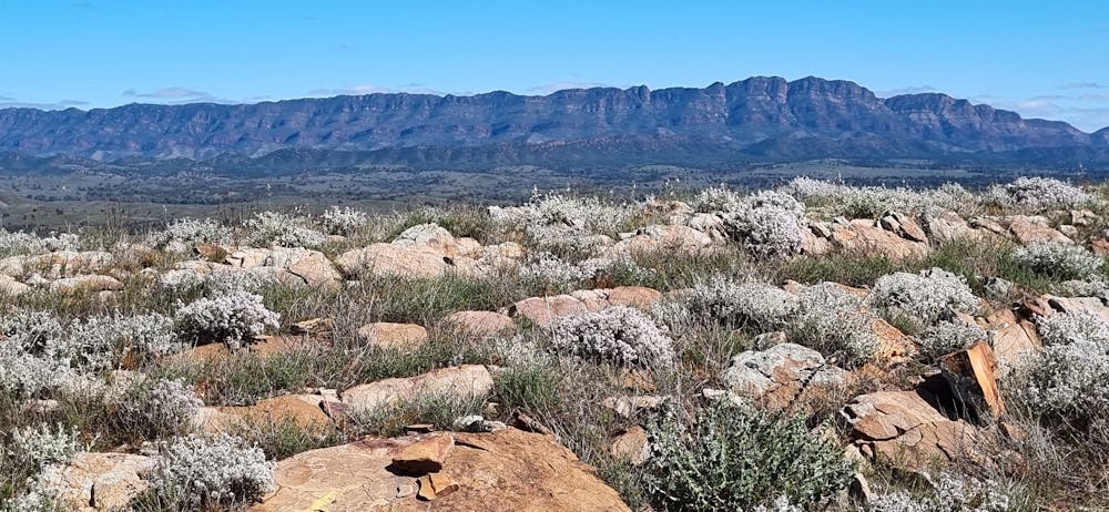
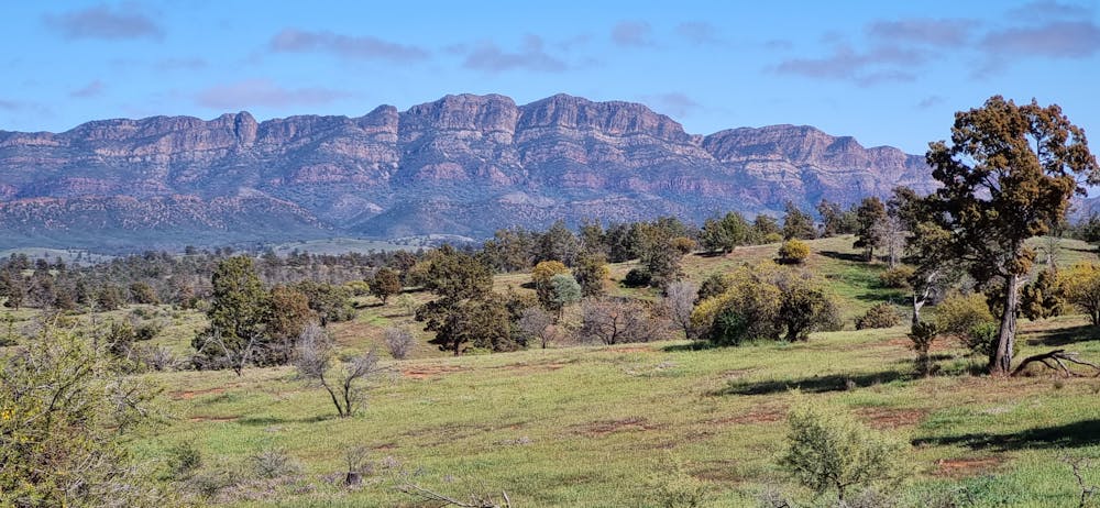
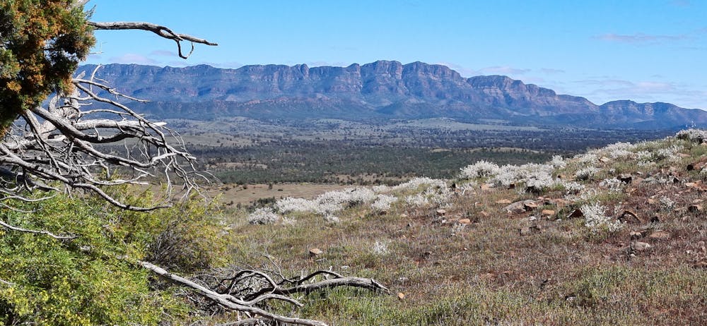
2.5hr easy to moderate hike, spectacular views towards Rawnsley Bluff Wilpena Pound and Elder Range
Difficulty
Moderate
Hiking along trails with some uneven terrain and small hills. Small rocks and roots may be present.
High Exposure

Some trail sections have exposed ledges or steep ascents/descents where falling could cause serious injury.
Remoteness

Away from help but easily accessed.
Best time to visit
Features
- Wildlife
- Picturesque
- Summit Hike
- Wild flowers