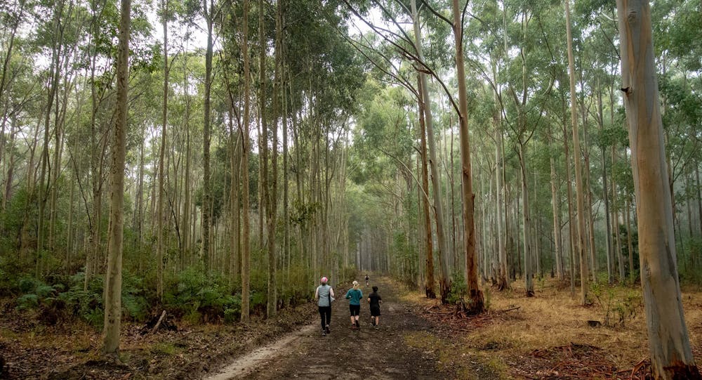
The Avenues parkrun
The Avenues parkrun in Kuitpo Forest SA
Trail Running Moderate
- Distance
- 5.1 km
- Ascent
- 95 m
- Descent
- 93 m
- Duration
- 0-1 hrs
- Low Point
- 316 m
- High Point
- 350 m
- Gradient
- 2˚

This is a popular trail running route which is generally considered to be moderate. It's remote, it features medium exposure and is typically done all year round. From a low point of 316 m to the maximum altitude of 350 m, the route covers 5.1 km, 95 vertical metres of ascent and 93 vertical metres of descent.
Description
5km Saturday 8am run or walk as part of parkrun Australia.
Difficulty
Moderate
Medium Exposure

The trail contains some obstacles such as outcroppings and rock which could cause injury.
Remoteness
Away from help but easily accessed.