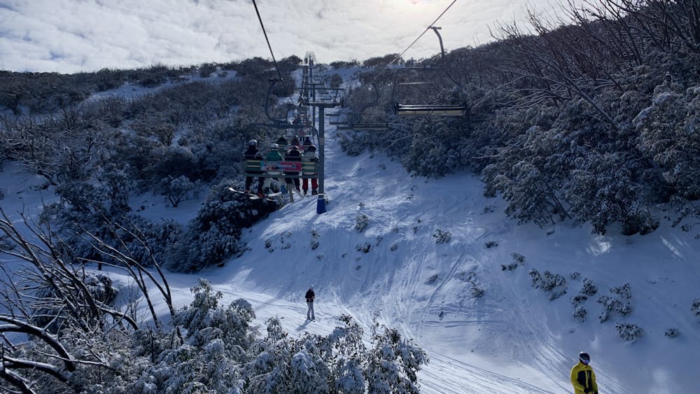
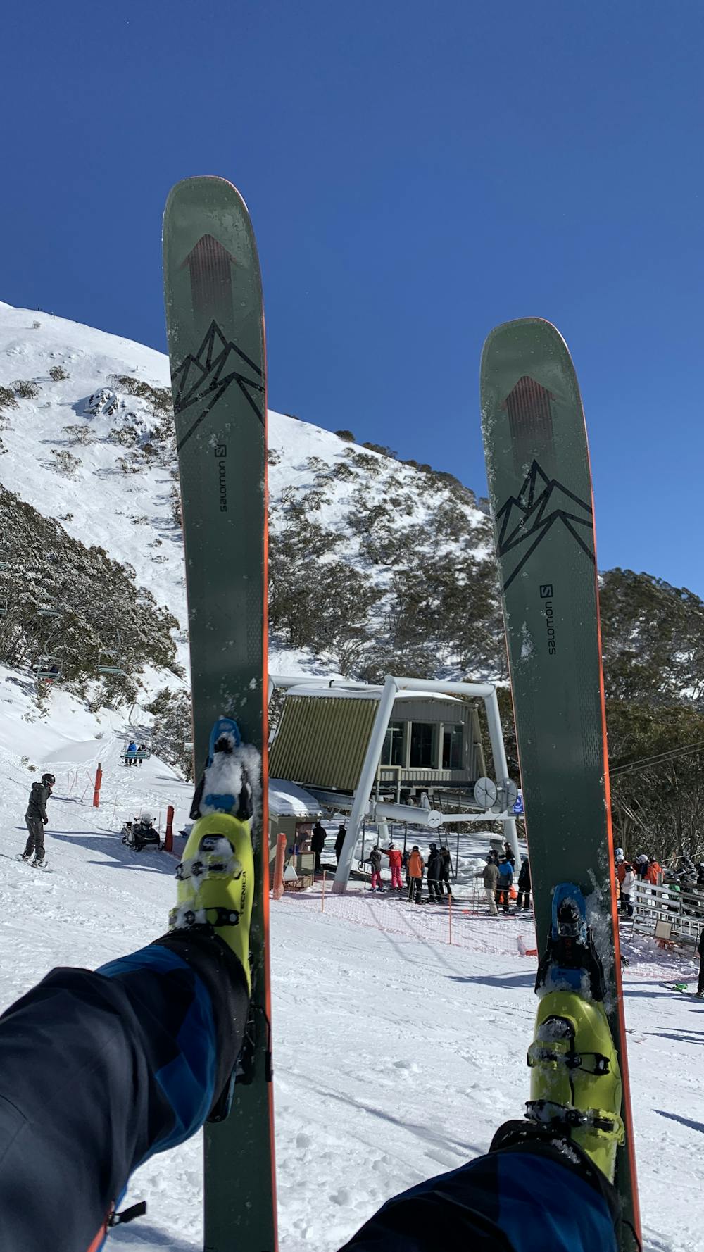
Mt. Buller day
Stunning winter day. slopes in perfect condition. significant fresh snow was fallen in the week prior. Although the fresh snow, no fresh power found due to the high winds in the days before.
Freeride Skiing Easy
- Distance
- 38 km
- Ascent
- 3.3 km
- Descent
- 3.4 km
- Low Point
- 1.4 km
- High Point
- 1.8 km
- Gradient
- 23˚

This is a popular freeride skiing route which is generally considered to be easy. It's not remote, it features low exposure (e1) and is typically done in undefined. From a low point of 1.4 km to the maximum altitude of 1.8 km, the route covers 38 km, 3287 vertical metres of ascent and 3360 vertical metres of descent.
- •
- •
Description
Bluebird day
Difficulty
Easy
Wide gentle slopes at around 20 degrees or less.
Low Exposure (E1)

Exposure is limited to that of the slope itself. Getting hurt is still likely if the slope is steep and/or the snow is hard.
Remoteness
Close to help in case of emergency.