8.4 km away
Werribee Gorge Circuit Walk

A short drive from Melbourne, this hidden gem is home to an abundance of native wildlife and offers spectacular views from almost every vantage point.
Moderate Hiking
- Distance
- 7.6 km
- Ascent
- 363 m
- Descent
- 363 m
A short drive from Melbourne, the Lerderberg Gorge Circuit is a popular hiking trail that feels a world away from the city.
Hiking Moderate
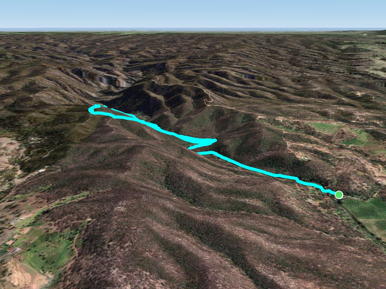
The Lerderderg Gorge Circuit is a moderately challenging 7.8km (2-3 hour) hike just outside of Bacchus Marsh. It’s a relatively remote walk that climbs up from the banks of the Lerderderg River, across rocky outcrops and through eucalyptus forests. The climb is steady throughout with some steep sections, but the views make it all worth it!
This beautiful hike takes you through the Lerderderg Gorge, starting from the parking spot at the end of the Lerderberg Gorge Road. You'll criss-cross the river a number of times (if water levels are high you may need to make some river crossings) so be prepared to get your feet wet.
After another crossing, follow the steep trail up Link Track No.2 to the ridge before beginning the walk back to car park. After joining the Blackwood Ranges Track you'll want to take the left at the fork and take Link Track No.1 back down to the river, which you'll then follow the Gorge Track back to your car.
Allow 2-3 hours for the circuit, but there are plenty of places to stop en route and some great views of the area.
Reception can be spotty on the trail so make sure you have downloaded the map in advance, and always check local conditions before setting out.
Moderate
Hiking along trails with some uneven terrain and small hills. Small rocks and roots may be present.

Away from help but easily accessed.
8.4 km away
A short drive from Melbourne, this hidden gem is home to an abundance of native wildlife and offers spectacular views from almost every vantage point.
Moderate Hiking