Mt Bogong Circuit
Falls Creek
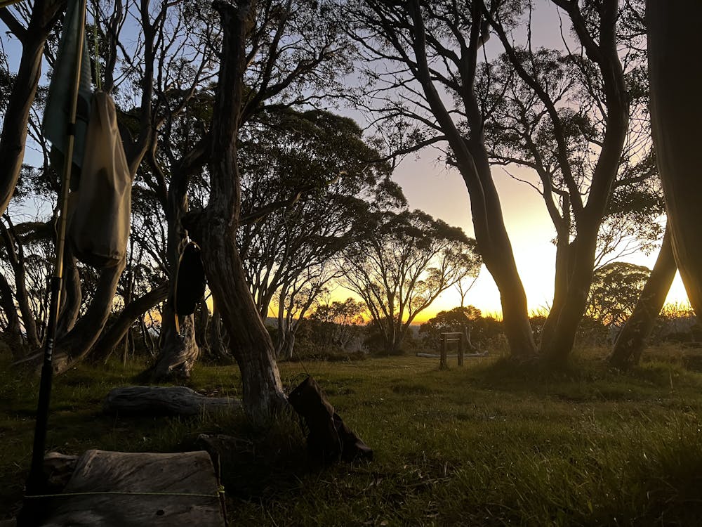
Mt Bogong circuit from Heathy Spur carpark, Falls Creek. Reconnaissance for backcountry snowboading
Hiking Moderate
- Distance
- 54 km
- Ascent
- 2.3 km
- Descent
- 2.3 km
- Duration
- 1 day +
- Low Point
- 1 km
- High Point
- 2 km
- Gradient
- 16˚

This is a popular hiking route which is generally considered to be moderate. It's remote, it features medium exposure and is typically done in undefined. From a low point of 1 km to the maximum altitude of 2 km, the route covers 54 km, 2323 vertical metres of ascent and 2319 vertical metres of descent.
- •
- •
- •
Description
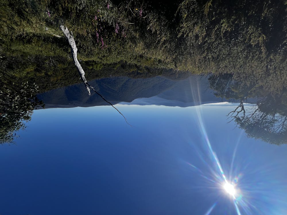
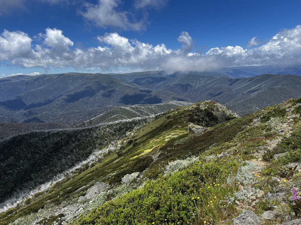
Specular views around Victorias highest peek
Difficulty
Moderate
Hiking along trails with some uneven terrain and small hills. Small rocks and roots may be present.
Medium Exposure

The trail contains some obstacles such as outcroppings and rock which could cause injury.
Remoteness
Away from help but easily accessed.
Best time to visit
Features
- Alpine
- Summit Hike
- Wild flowers