The MacKenzie River Walk
Winding its way along the MacKenzie River, this 8km walk takes in Eucalyptus forest and a number of beautiful waterfalls.
Hiking Moderate
- Distance
- 8.2 km
- Ascent
- 216 m
- Descent
- 216 m
- Duration
- 1-2 hrs
- Low Point
- 236 m
- High Point
- 401 m
- Gradient
- 7˚
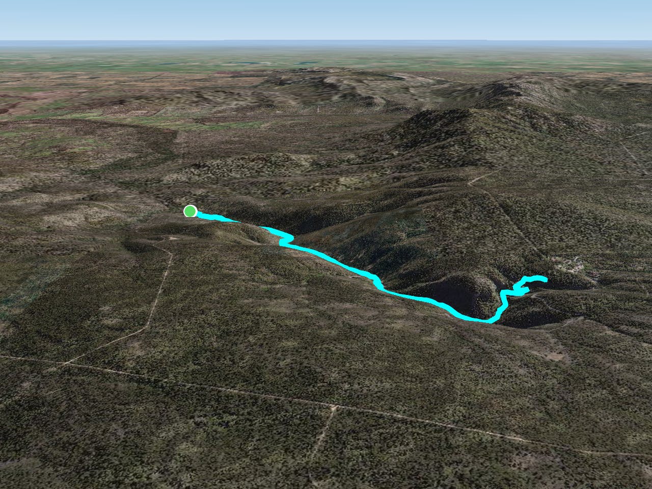
The MacKenzie River Walk is a stunning, easy 2-hour return walk that travels along the MacKenzie River to an excellent viewpoint of the Falls. The Grampians National Park walk takes you past caves, waterfalls, and giant boulders with views over the river and valley. From start to finish, this walk is an enjoyable stroll through native bush which feels a world away from civilisation.

Description
The car park for this walk is signposted just off the main road at Zumstein Picnic Area (where you will see signs for the trailhead).
While not particularly long, the trail is steep and, at times, slightly technical. Check trail conditions before leaving and make sure to take supplies with you on the route.
Difficulty
Moderate
Hiking along trails with some uneven terrain and small hills. Small rocks and roots may be present.
Remoteness

Close to help in case of emergency.
Best time to visit
Features
- Wildlife
- Picturesque
- Wild flowers
- Water features
- Forestry or heavy vegetation