Marcus Norton's Lysterfield Trail
A undulating loop incorporating the best trails at one of Melbourne's most accessible trail networks. Suited to cross country or trail riders. Includes two optional black loops.
Mountain Biking Moderate
- Distance
- 26 km
- Ascent
- 639 m
- Descent
- 638 m
- Duration
- 2-3 hrs
- Low Point
- 61 m
- High Point
- 206 m
- Gradient
- 4˚

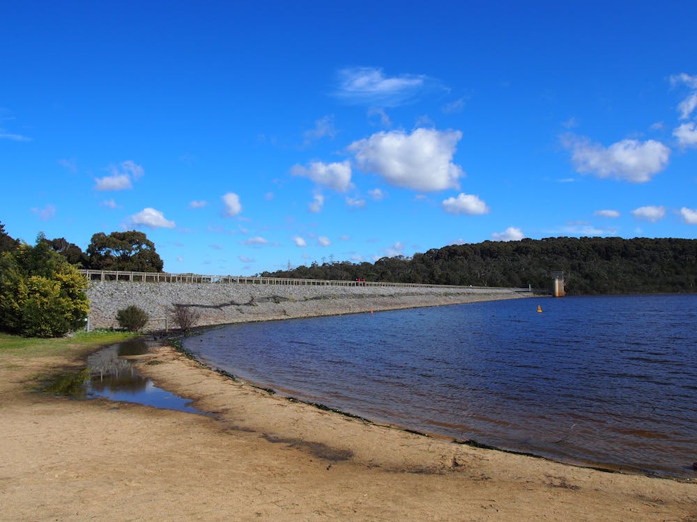
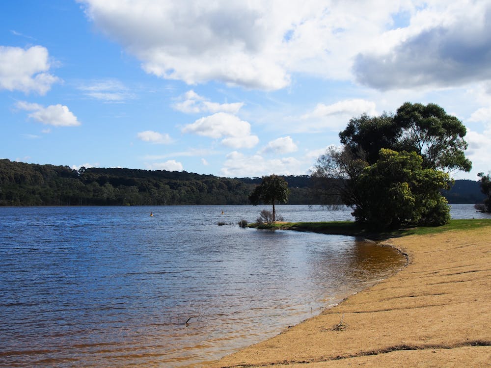
Starting in the carpark off the Main Entrance accessed via Horswood Rd, the trail takes the most common entry to the mountain bike trails going north along Lower Buckle (trk. 2). There is an option to take the Follow Me (trk. 11) for those wanting a more challenging black descent. Continuing north to Upper Buckle (trk. 3), doing the fast and fun Dog Pound (trk. 17) descent. Linking briefly via the East West Brk, the trail then follows Middle (trk. 4) and Red Gum (trk. 5). It joins the former Commonwealth Games circuit climb (now called State Mtb Course trk. 11), but avoids the sketchy and clunky rocky descent to continue to the fireroad crossover. At this point there is the second optional section to do the Aneurysm descent with plenty of deep berms and small jumps to enjoy. Linking back to where the trail left the State MTB Course after using the fireroad climb, the trail completes the most challenging climb to the highest point in the trail at Trig Point Lookout. A fun descent followed by undulating trails to complete the State MTB Course portion, then linking into Hug (trk. 6), Upper Blair Witch (trk. 8), and ending on Snipe (trk. 12) for a dam view and past the pump track. Finish the ride with a visit to the lake beach for a post-ride dip during the warmer months.
Description
Ensure you check the Lysterfield District Trail Riders club websites and social media for trail closures, especially during the winter months.
Traditional owners: This trail is on the lands of the Bunurong People.
Wildlife: Riders can almost always see kangaroos in Lysterfield, and also commonly see blue wrens.
Ride time: Approximately 1 hr 45 mins to 2 hrs 15 mins, best done when the trail is dry or during the drier months as some sections don't dry quickly, especially along Upper/Lower Buckle.
Equipment: Well maintained cross country or trail bike, appropriate helmet, pads and gloves for blue and some low level black grade trails.
See Parks Victoria or Lysterfield District Trail Riders club websites for more information and trail maps.
Difficulty
Moderate
Mostly stable trail tread with some variability, with unavoidable obstacles 8in/20cm tall or less. Other obstacles such as rock gullies and steep sections may exist. Ideal for lower intermediate riders.
Low Exposure

The path is on completely flat land and potential injury is limited to falling over.
Remoteness
Close to help in case of emergency.
Best time to visit
Features
- Flow
- Technical
- Singletrack
- In the forest
- Drops
- Jumps
- Roots
- Tabletops