Marcus Norton’s You Yangs Black Trails
Ride all the single black runs in the You Yangs Regional Park in one trail.
Mountain Biking Severe
- Distance
- 25 km
- Ascent
- 574 m
- Descent
- 574 m
- Duration
- 2-3 hrs
- Low Point
- 106 m
- High Point
- 228 m
- Gradient
- 5˚

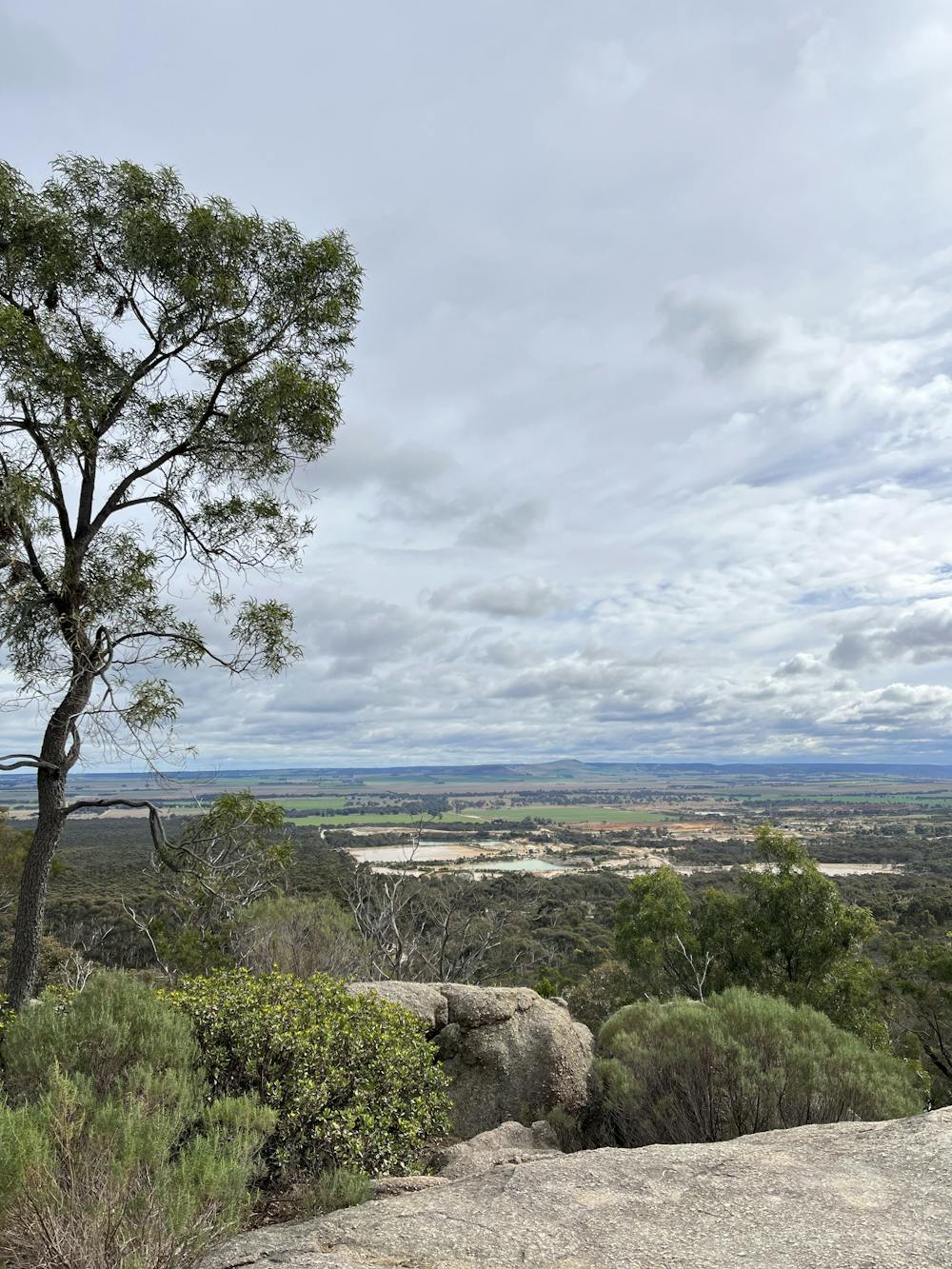
This trail is a compelling way to take you through all the single black runs in the You Yangs, providing technical descents, great views and well sign-posted trails.
- •
- •
- •
- •
- •
Description
Starting from the Stockyards carpark in the north of the park, this trail begins with a warmup through Quarry Pit (trk. 5), before taking a meandering and scenic climb up Rockwell Run (trk. 4). The first decent will go through the well loved Cressy Descent (trk. 13), which is a flow trail with jumps (with B line options), rock gardens and berms. The trail follows the fireroad back up the mountain, and continues over to Junction Track for a rocky descent with incredible views to the west. Using the fireroad to back up to make the climb easier, the trail goes back up Junction Track towards the Stockyards area again. There you can use the downhill start ramp to begin on Trav's Diamond (trk. 7), a technical trail with rock gardens, wooden berms, steep granite rock rolls. It then takes you back up Rockwell Run for an easy climb, followed by the fast, flowy and furious Lactic Acid (trk. 6). Finally, the trail will take you up the north side peak to Boulder Track, where you can choose to take one of the park's famous granite rock rolls towards the finish at the Stockyards carpark.
Traditional owners: This trail is on the lands of the Wadawurrung People.
Wildlife: Riders can often see wallabies, kangaroos and occasionally a wedge tailed eagle.
Ride time: Approximately 1.5-2 hours, best done when the trail is damp or dry. Avoid during the hot, dry days often occuring in Jan and Feb.
Equipment: Well maintained enduro or trail bike, appropriate helmet, pads and gloves for black grade trails.
See Parks Victoria or You Yangs MTB Club websites for more information and trail maps.
Difficulty
Severe
Widely variable, narrow trail tread with steeper grades and unavoidable obstacles of 15in/38cm tall or less. Obstacles may include unavoidable bridges 24in/61cm wide or less, large rocks, gravel, difficult root sections, and more. Ideal for advanced-level riders.
Medium Exposure

The trail contains some obstacles such as outcroppings and rock which could cause injury.
Remoteness
Away from help but easily accessed.
Best time to visit
Features
- Flow
- Technical
- Singletrack
- In the forest
- Wet-weather friendly
- Drops
- Jumps
- Roots
- Gap Jumps
- Tabletops
- Rock Rolls
- Rock Slabs
- Rock Gardens
- Wooden Feature