10 m away
Bluff Knoll
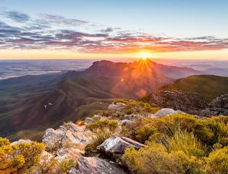
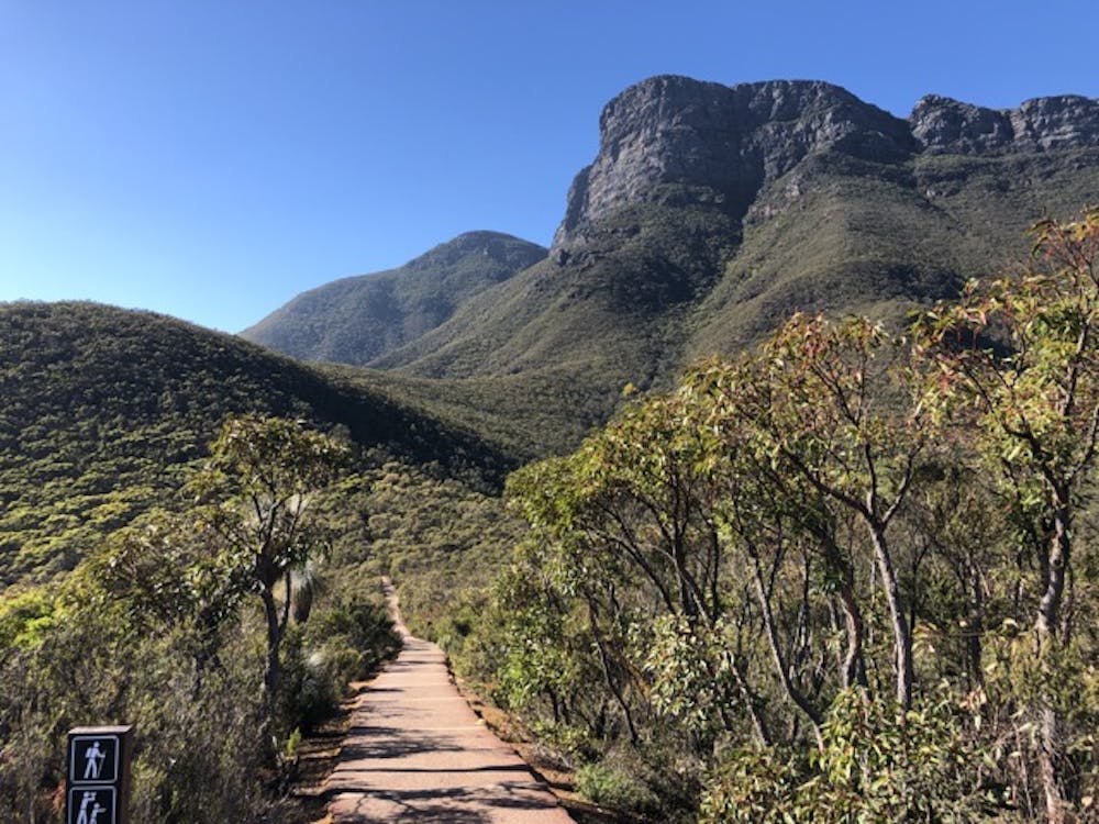
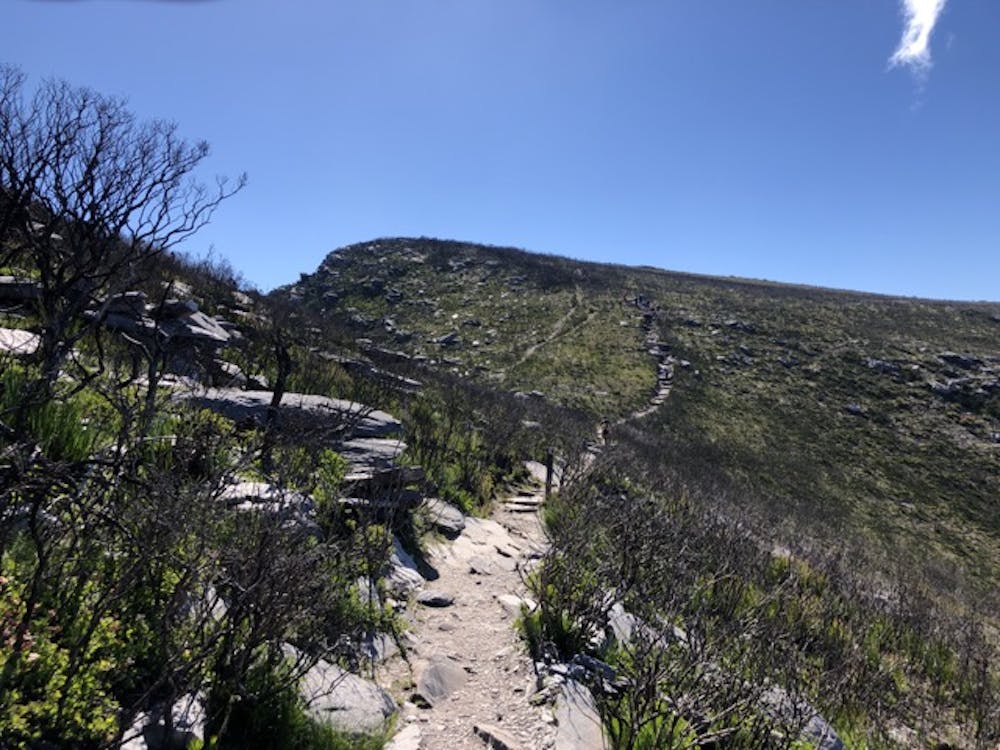
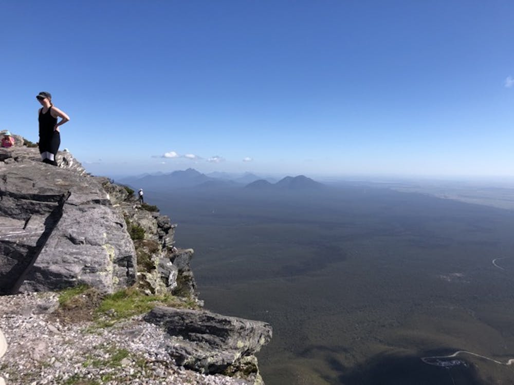
In the heart of the Stirling Range National Park, Bluff Knoll is a popular hike which boasts some spectacular views of the surrounding area.
Moderate Hiking
- Distance
- 6.4 km
- Ascent
- 683 m
- Descent
- 683 m
A popular day hike to the top of southern Western Australia's highest peak (Stirling Ranges) suitable for hikers of most age groups who have good fitness and endurance.
Hiking Moderate

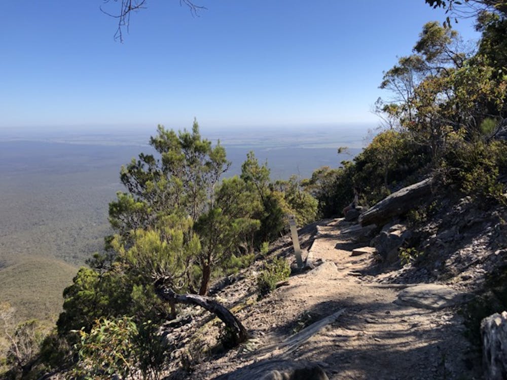
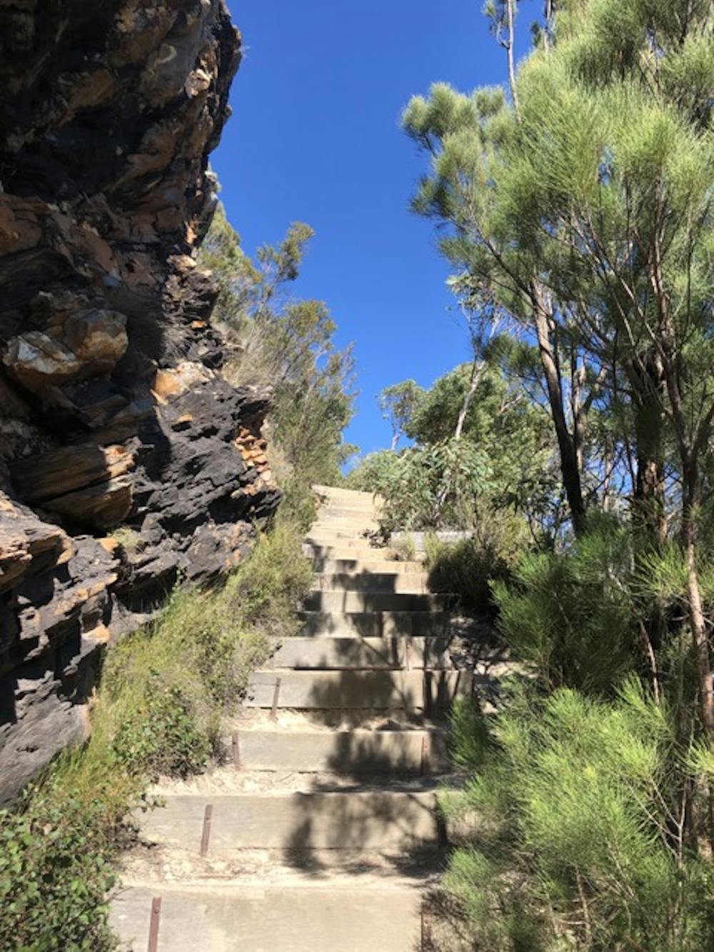
I saw people of ages from about 6 to 65 on the day I hiked. One fit adult had his toddler in a back-pack carrier. Quite popular with school groups. National Park Pass required ($13AUD, 2019). Steep incline, many constructed timber-enforced or rock steps, high exposure at the top, alpine changeable weather conditions, fabulous view for a picnic lunch in good weather. 1.5-2 hrs average to ascend. Well-marked, well maintained track. Large carpark fills quickly on weekends and public holidays. Although a lot of the track is well-shaded the last 3rd is very exposed.
Moderate
Hiking along trails with some uneven terrain and small hills. Small rocks and roots may be present.

The trail contains some obstacles such as outcroppings and rock which could cause injury.
Away from help but easily accessed.
10 m away
In the heart of the Stirling Range National Park, Bluff Knoll is a popular hike which boasts some spectacular views of the surrounding area.
Moderate Hiking