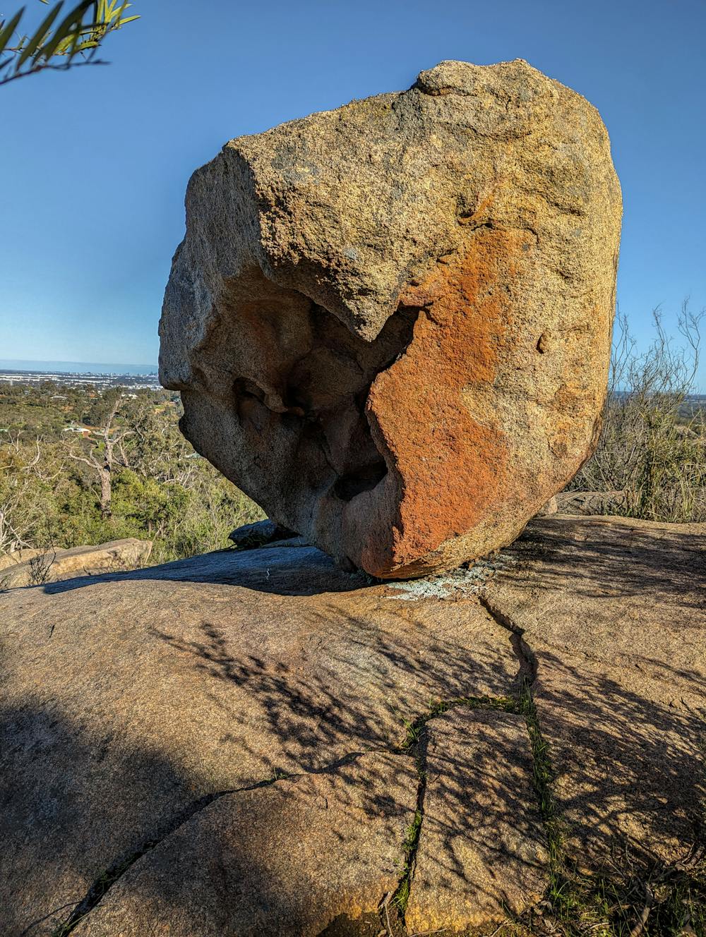
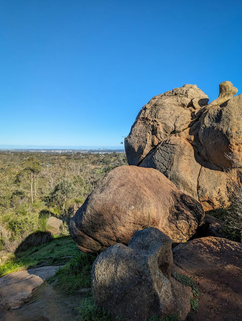
John Forrest National Park
11km - Moderate/Hard - Steep Climbs, This trail follows the Eagle View Trail but deviates at the end for a shortcut back to the main carpark.
Hiking Moderate
- Distance
- 11 km
- Ascent
- 291 m
- Descent
- 284 m
- Duration
- 2-3 hrs
- Low Point
- 68 m
- High Point
- 237 m
- Gradient
- 5˚

This is a popular hiking route which is generally considered to be moderate. It's not remote, it features medium exposure and is typically done between April and September. From a low point of 68 m to the maximum altitude of 237 m, the route covers 11 km, 291 vertical metres of ascent and 284 vertical metres of descent.
- •
- •
Description
11km - Moderate/Hard - Steep Climbs
This trail follows the Eagle View Trail but deviates at the end for a shortcut back to the main carpark.
Difficulty
Moderate
Hiking along trails with some uneven terrain and small hills. Small rocks and roots may be present.
Medium Exposure

The trail contains some obstacles such as outcroppings and rock which could cause injury.
Remoteness

Close to help in case of emergency.
Best time to visit
Features
- Wildlife
- Picturesque
- Wild flowers
- Water features
- Family friendly
- Forestry or heavy vegetation