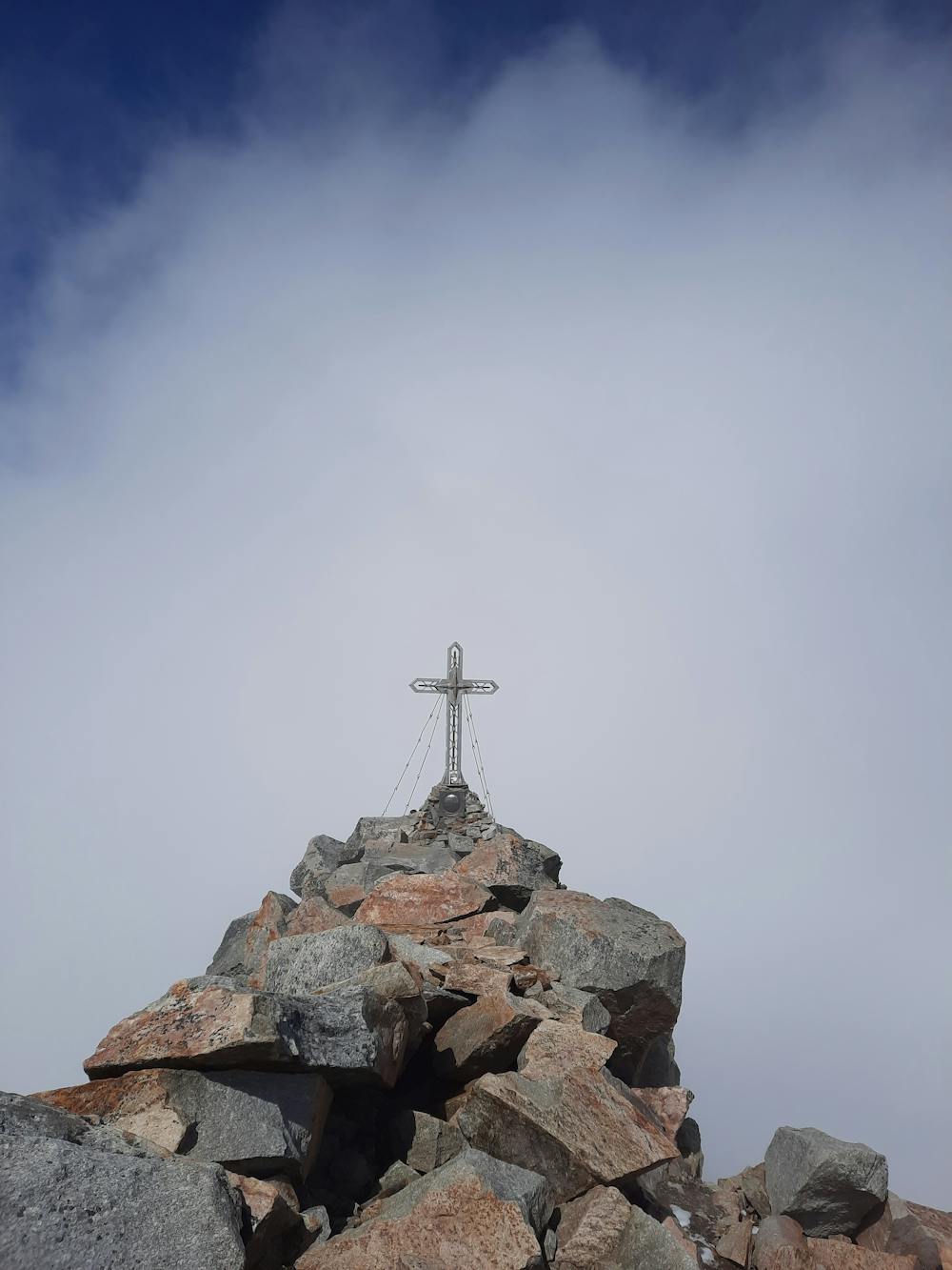
Hochalmspitze
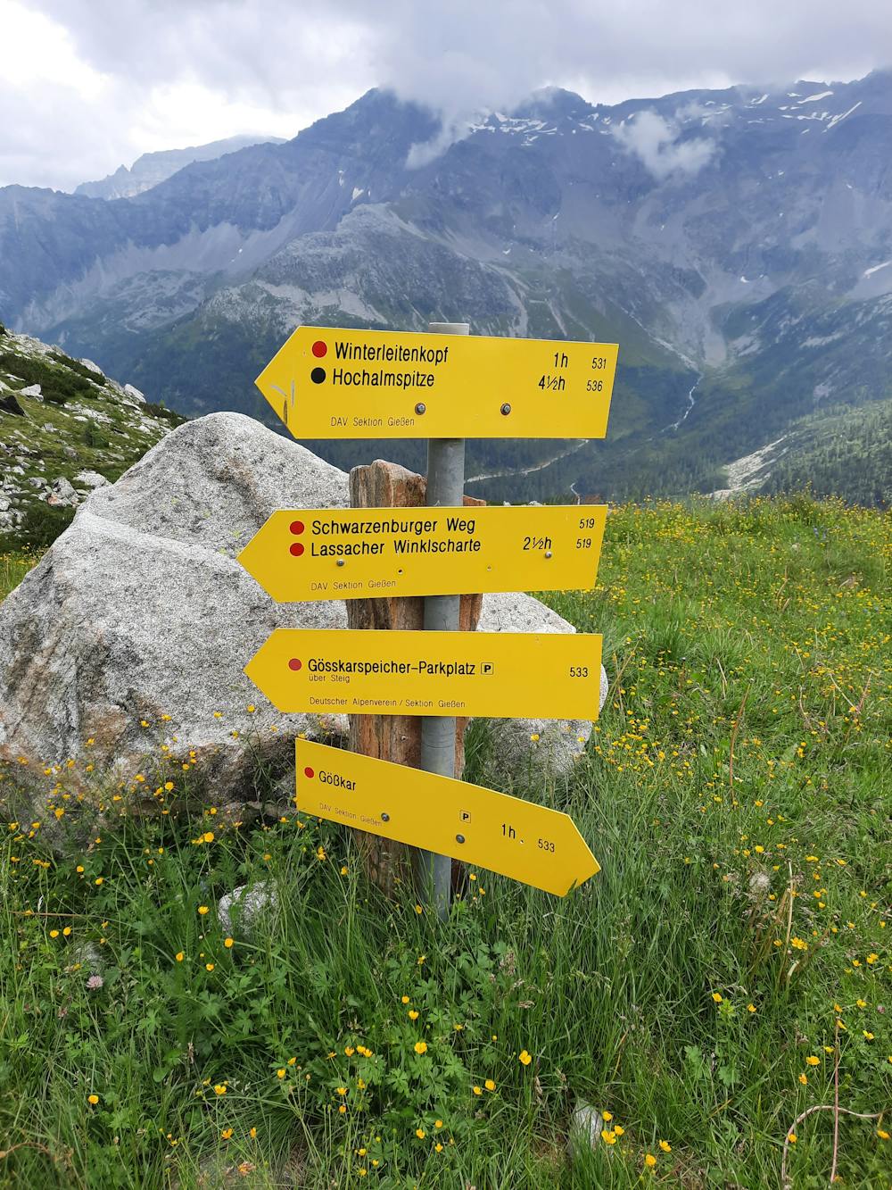
Ausgang vom Gößkarspeicher
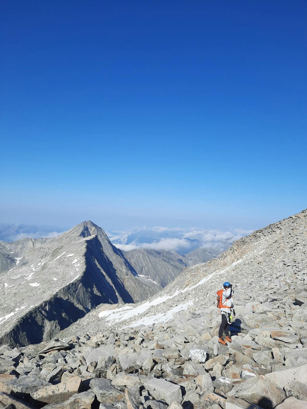
Hiking Severe
- Distance
- 7.3 km
- Ascent
- 1.7 km
- Descent
- 0 m
- Duration
- 4-5 hrs
- Low Point
- 1.6 km
- High Point
- 3.3 km
- Gradient
- 19˚

This is a popular hiking route which is generally considered to be severe. It's remote, it features high exposure and is typically done between June and August. From a low point of 1.6 km to the maximum altitude of 3.3 km, the route covers 7.3 km, 1702 vertical metres of ascent and 0 vertical metres of descent.
- •
- •
- •
- •
- •
- •
- •
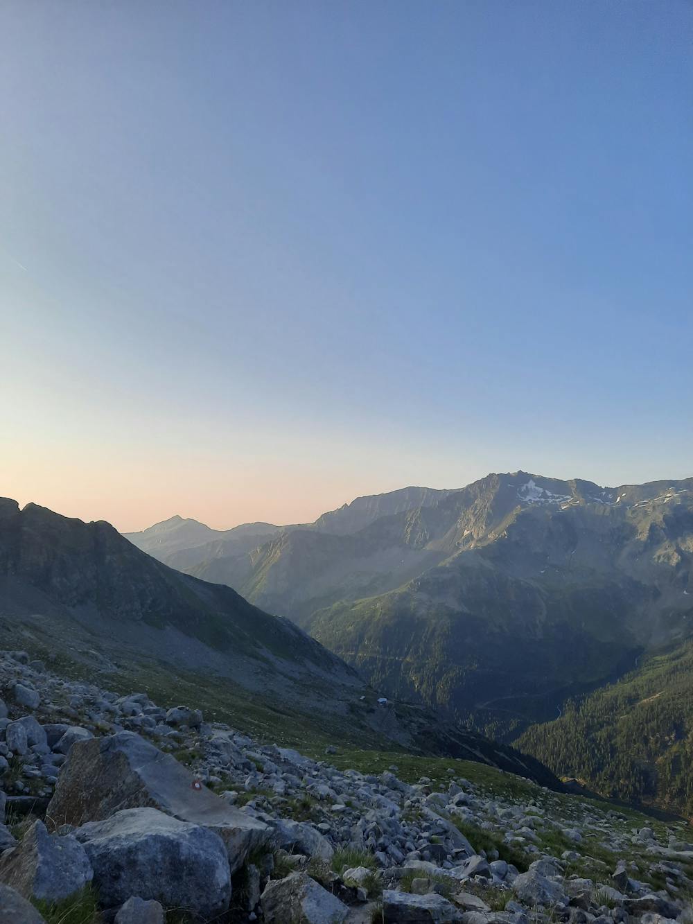
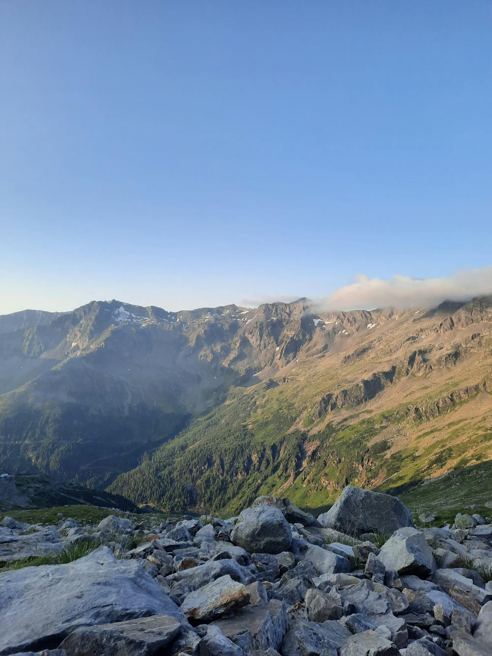
Description
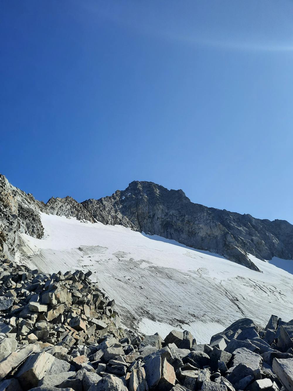
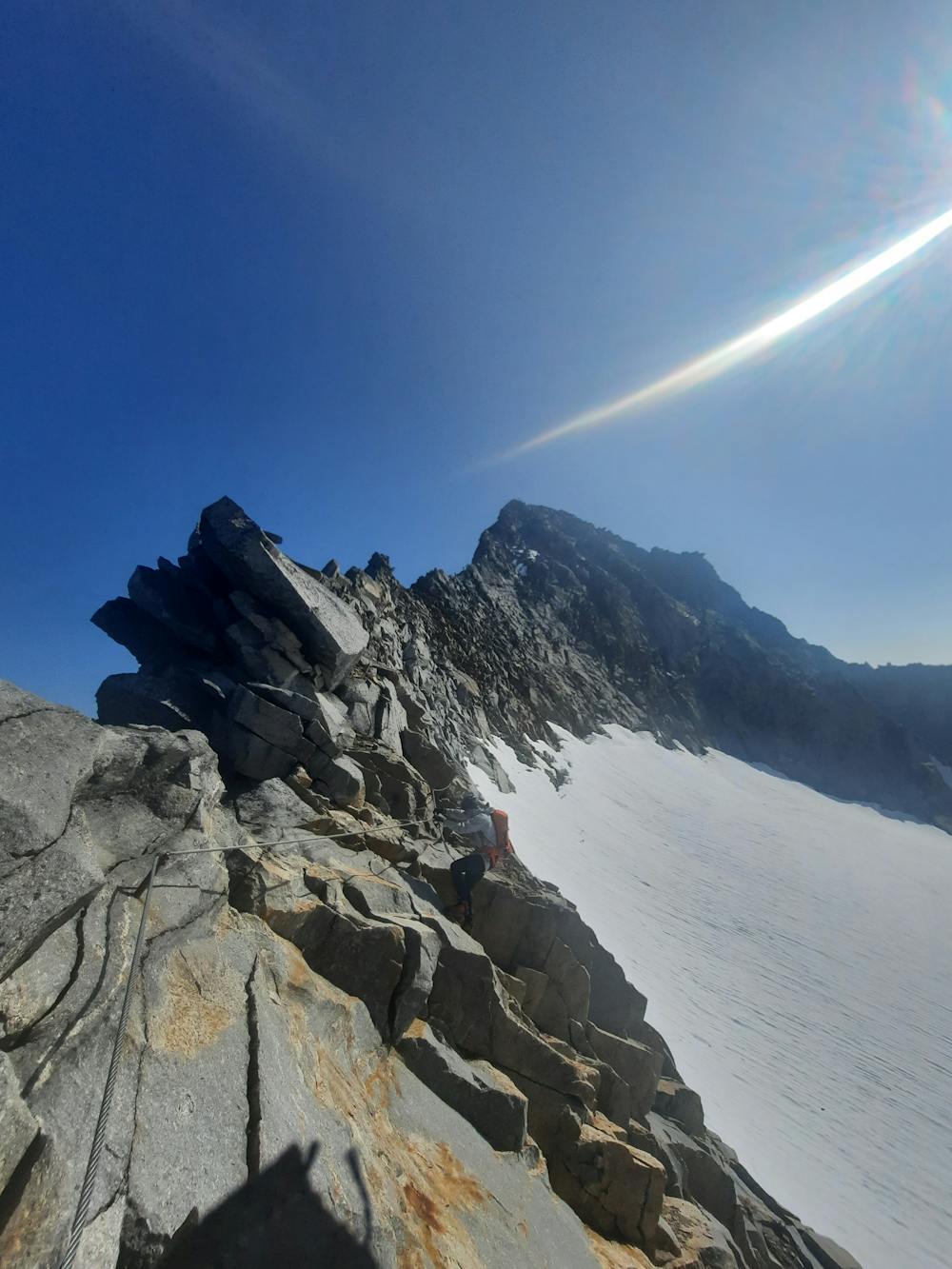
Vom Gößkarspeicher zur Gießener Hütte. Über den Schwarzburger Weg zum Detmolder Steig der über einen Klettersteig zum Gipfel führt.
Abstieg ist über die gleiche Route oder über den Rudolfsädter Weg (Gletscher?) möglich.
Difficulty
Severe
Hiking challenging trails where simple scrambling, with the occasional use of the hands, is a distinct possibility. The trails are often filled with all manner of obstacles both small and large, and the hills are very steep. Obstacles and challenges are often unexpected and can be unpredictable.
High Exposure

Some trail sections have exposed ledges or steep ascents/descents where falling could cause serious injury.
Remoteness

Away from help but easily accessed.
Best time to visit
Features
- Wildlife
- Picturesque
- Summit Hike
- Wild flowers
- Water features