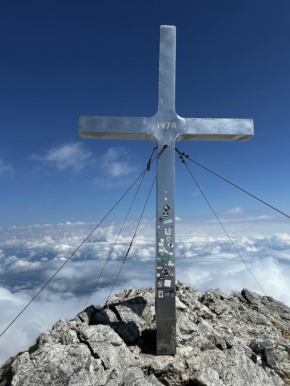
Kepa (Mittagskogel)
A 2-3 hour hike to the top of the famous Kepa (Mittagskogel) in the heart of Carinthia.
Hiking Difficult
- Distance
- 10 km
- Ascent
- 957 m
- Descent
- 957 m
- Duration
- 3-4 hrs
- Low Point
- 1.2 km
- High Point
- 2.1 km
- Gradient
- 20˚

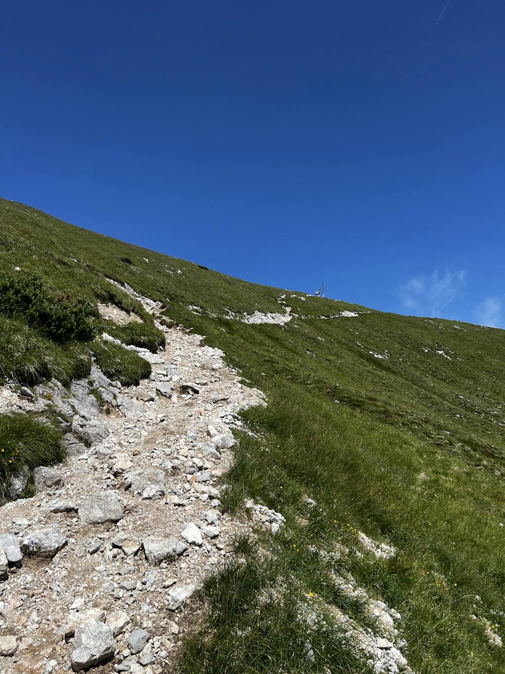
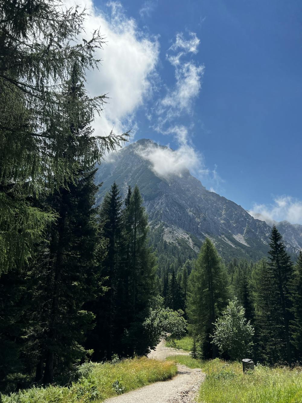
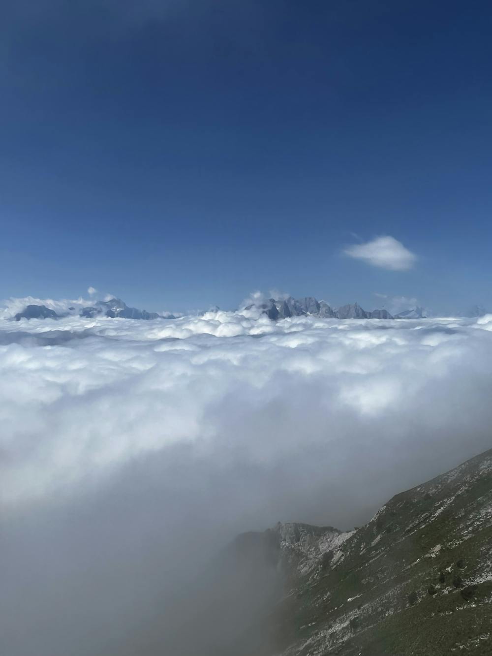
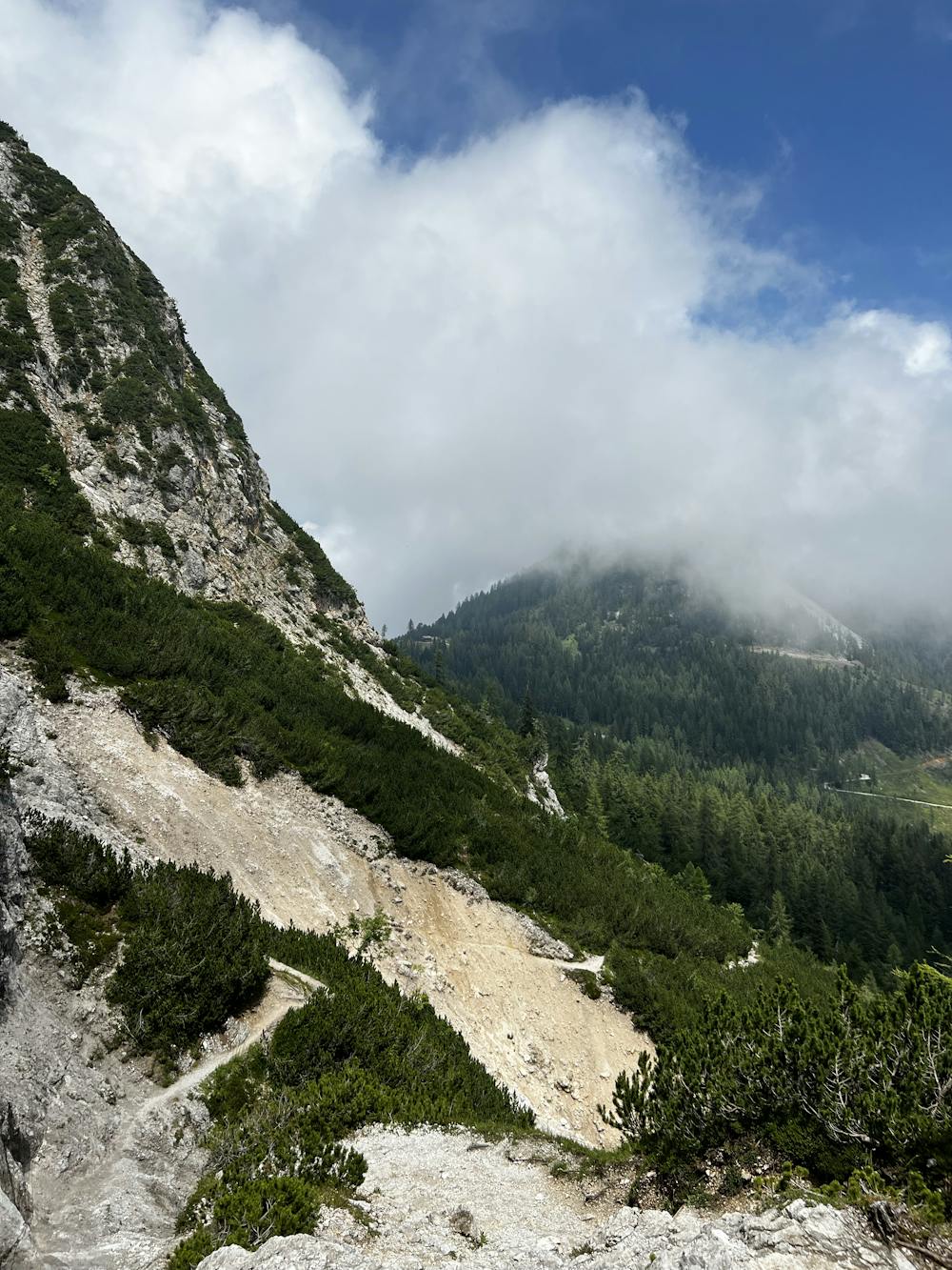
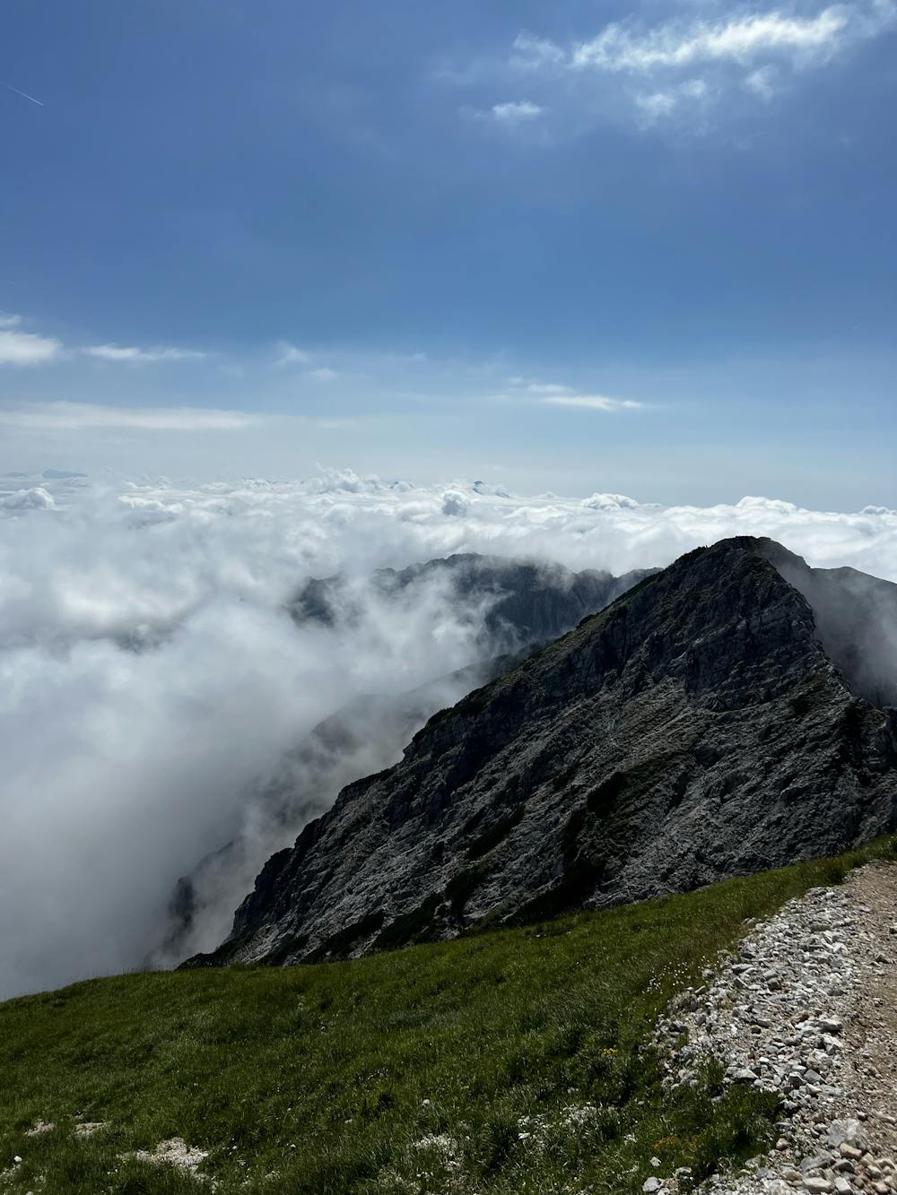
Starting point is the parking spot for the „Bertahütte“. This might not be reachable with all cars since the road is very and is not recommended for lowered cars. With cars of normal height(VW Golf 6/7) it could be a bit of a challenge and may require a bit of driving skills. From there you can choose to go either along the road or the path through the woods which are both equal in terms of time. From there on is a small part of the path with a lower height increase. After that 500m the path follows the flank up the hill with mostly equal height increase. Overall this is not the easiest tour and if not very experienced in terms of hiking, kids under 12 should not be taken to walk this route. On the top there is a beautiful view over carinthia. Depending on the condition the tour can be done in 2-3 hours.
- •
- •
- •
- •
- •
- •
Difficulty
Difficult
Hiking trails where obstacles such as rocks or roots are prevalent. Some obstacles can require care to step over or around. At times, the trail can be worn and eroded. The grade of the trail is generally quite steep, and can often lead to strenuous hiking.
High Exposure

Some trail sections have exposed ledges or steep ascents/descents where falling could cause serious injury.
Remoteness
Little chance of being seen or helped in case of an accident.
Best time to visit
Features
- Alpine
- Picturesque
- Summit Hike
- Wild flowers
- Family friendly
- Forestry or heavy vegetation