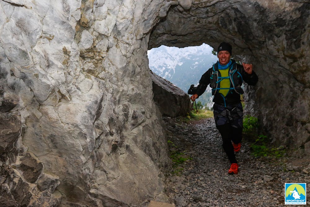
Nassfeld-Mountain-SkyUltra
Nassfeld
Nassfeld-MountainSkytrails
Trail Running Extreme
- Distance
- 52 km
- Ascent
- 3.9 km
- Descent
- 3.9 km
- Duration
- 1 day +
- Low Point
- 955 m
- High Point
- 2.2 km
- Gradient
- 20˚

This is a popular trail running route which is generally considered to be extreme. It's not remote, it features high exposure and is typically done in undefined. From a low point of 955 m to the maximum altitude of 2.2 km, the route covers 52 km, 3927 vertical metres of ascent and 3927 vertical metres of descent.
Description
The Nassfeld-Mountain-Skytrails are a surprice and for Trailrunner and Skyrunner. The Event are the southermost Trailevent in Austria and you run 50% in Austria and 50% in Italy. Be Part of it! www.skytrails.at
Difficulty
Extreme
High Exposure

Some trail sections have exposed ledges or steep ascents/descents where falling could cause serious injury.
Remoteness

Close to help in case of emergency.