Klettersteig "Via Steinbock"
Dachstein Salzkammergut
During the entire via ferrata you have a wonderful view of the Hallstätter glacier.
Alpine Climbing Severe
- Distance
- 8.6 km
- Ascent
- 1 km
- Descent
- 448 m
- Low Point
- 1.7 km
- High Point
- 2.3 km
- Gradient
- 26˚
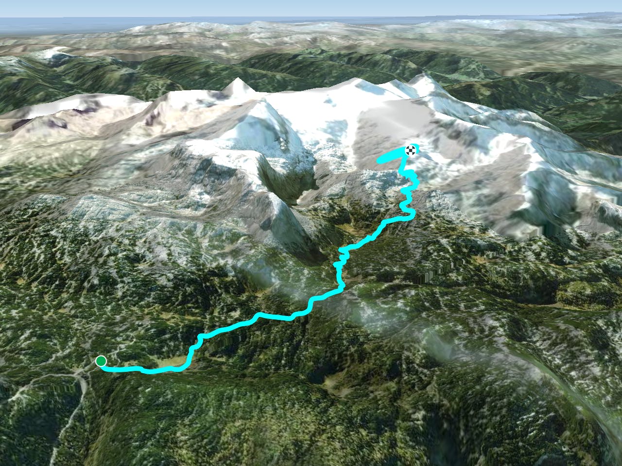
Ascent to the wall: From the Gjaidalm mountain station down to the Gjaidalm and along path no. 650 to the Simony hut. Take path 601 towards the Hallstätter Glacier. On the south side of the Schöberl, leave the hiking trail on the right and climb up to the entrances. From the entrance a ramp up (A to B). Then first cross over plates (B/C to C) and then another ramp (A to B) ascending to the right. Descent:Climb down the Mingma Climbing Path on the opposite side of the Schöberl. Then descend to path 601 and turn left back to the ascent path. Important: complete via ferrata equipment required! https://www.dachstein-panorama.at/?s=pano68588&utmsource=tourdata&utmmedium=textlink&utmcampaign=tourdata360tour" https://www.dachstein-panorama.at/?s=pano68588&utmsource=tourdata&utmmedium=textlink&utmcampaign=tourdata360tour "To the 360° panorama tour of the Dachstein Salzkammergut region ...
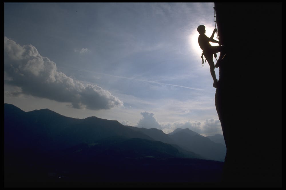
Difficulty
Severe
Steep, sustained and serious terrain on rock/ice. Routes will be long, exposed and possibly committing. D, D+