Bad Goisern Loipenverbindung Ramsau - Reitern
Dachstein Salzkammergut
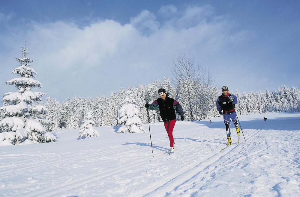
With this 2,4 km connecting track of medium difficulty you have the possibility to change the valley side of Bad Goisern at the Hallstättersee.
Cross Country Skiing Difficult
- Distance
- 2.2 km
- Ascent
- 44 m
- Descent
- 67 m
- Duration
- 0-1 hrs
- Low Point
- 502 m
- High Point
- 545 m
- Gradient
- 12˚

After a short walk of 500 m and the crossing of the B 166 you connect the Loipe Reitern with the Loipe Ramsau and experience a varied skating trail through woods and meadows. After an ascent to the so-called "Lipp'n Höhe" in the Gschwandt district, a wonderful panoramic view of the Goiser Valley and the mountains of the Inner Salzkammergut awaits you. https://www.dachstein-panorama.at/?s=pano50295&utmsource=tourdata&utmmedium=textlink&utmcampaign=tourdata360tour" https://www.dachstein-panorama.at/?s=pano50295&utmsource=tourdata&utmmedium=textlink&utmcampaign=tourdata360tour "To the 360° panorama tour through Bad Goisern ...
Difficulty
Difficult