Skiroute Edtalm
Dachstein Salzkammergut
Also in Salzburg, Austria
Freeride Skiing Extreme
- Distance
- 726 m
- Ascent
- 1 m
- Descent
- 147 m
- Low Point
- 1.3 km
- High Point
- 1.5 km
- Gradient
- 29˚
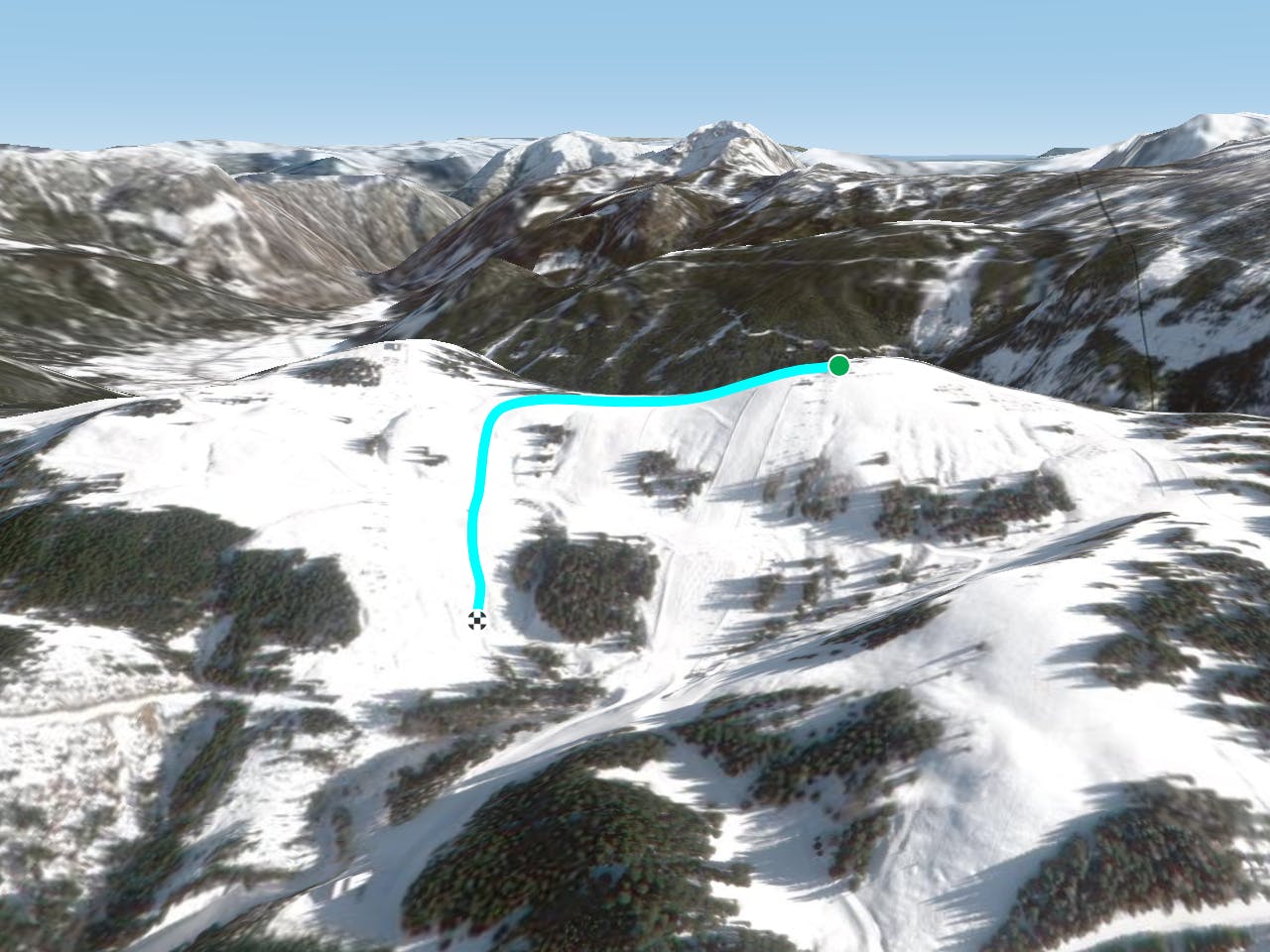
This is a popular freeride skiing route which is generally considered to be extreme. It's not remote, it features unknown exposure and is typically done in an unknown time of year. From a low point of 1.3 km to the maximum altitude of 1.5 km, the route covers 726 m, 1 vertical metres of ascent and 147 vertical metres of descent.
Description
Difficulty
Extreme
Extreme skiing terrain above 45 degrees. These routes are reserved for experienced experts.
Remoteness

Close to help in case of emergency.