BergeSeen Trail Etappe 02: Gasthof „In der Kreh“ – Steinbach am Attersee
Guided tour: inn "in der Kreh" - Vorderer and Hinterer Langbathsee - Lueg - Taferlklaussee - Valerieweg - Steinbach am Atterseeh
Hiking Difficult
- Distance
- 18 km
- Ascent
- 640 m
- Descent
- 803 m
- Duration
- 4-5 hrs
- Low Point
- 489 m
- High Point
- 955 m
- Gradient
- 12˚

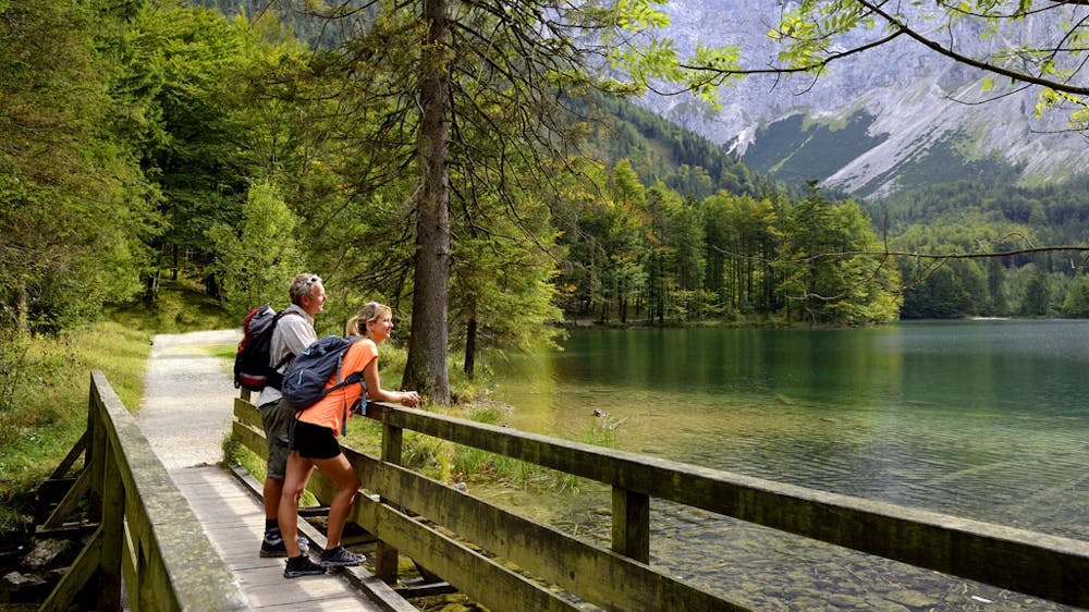
From the Gasthaus "in der Kreh" to the Taferlklaussee (3 hours)If you have stayed overnight in the Gasthaus Windlegern or in the Hochsteinalm, you have to add 1 hour for the hike. From the Gasthaus "in der Kreh" you have to go south over the road and the Langbathbach, until you reach a forest road after 300 m. Now turn right on this forest road for a longer time, then cross a bridge and keep right to the car park on the eastern shore of the Vorderen Langbathsee. (Duration: 40 minutes)On a forest road along the northern shore you continue to the Hinteren Langbathsee, 732 m, a particularly beautiful mountain lake. From here you can climb up to Brunnkogel via the steep Schafluckensteig (Schafluck path) with ropes and then to the Hochleckenhaus (Hochlecken house). However, our path goes back a short distance on the forest road, then a path branches off to the left which leads to Lueg, 830 m. A forest road is crossed twice. From Lueg (road sign, turnoff to Großalm) turn left onto the forest road and after a bend you reach a plain. On a climb further west first flat, then downhill to a forest road and on this downhill to the Taferlklaussee, a small dreamy mountain lake. From Taferlklaussee to Steinbach am Attersee (3 hours)Now either left or right around the lake and towards west in a short time to a ski lift. Now on the right ski slope uphill to a large car park and left on a forest road to the next signpost. Here the so-called Valerieweg (named after the Archduchess Valerie, a daughter of Emperor Franz Josef) branches off to the left. Continue along this narrow path slightly uphill and downhill in a southwesterly direction until you reach the path leading from the Kienklause - past the Adlerspitzen - to the Hochleckenhaus. The Valerieweg crosses this path and continues through the forest to a forest road and immediately afterwards downhill to the Aubodenhütte, from where it continues straight ahead for a short time, then left and immediately right and downhill on a wide path to the first houses in the village of Kaisigen. Then you continue down the road to Steinbach am Attersee.
Difficulty
Difficult
Hiking trails where obstacles such as rocks or roots are prevalent. Some obstacles can require care to step over or around. At times, the trail can be worn and eroded. The grade of the trail is generally quite steep, and can often lead to strenuous hiking.