BergeSeen Trail Etappe 10: Bad Ischl - Goiserer Hütte
Dachstein Salzkammergut
Travel path: Bad Ischl - valley station of the Katrin cable car - Katrinalm - Weißenbach bei Goisern - Hochmuth - Goiserer Hütteh
Hiking Difficult
- Distance
- 20 km
- Ascent
- 2.1 km
- Descent
- 1 km
- Duration
- 7-8 hrs
- Low Point
- 464 m
- High Point
- 1.6 km
- Gradient
- 18˚

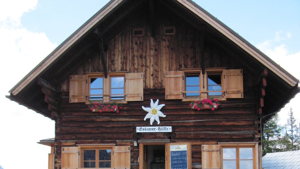
From Bad Ischl to the Katrinalm (3 hours)From the tourist office Bad Ischl (located in the listed drinking hall just south of the parish church) you walk along the river Traun upriver. First you come to the Elisabeth bridge, then you continue on the promenade past the Cafe Zauner, further along the Traun past the Trabrennbahn to a Traun bridge. There turn right to the Rindenkapelle and right again on a narrow path directly to the valley station of the Katrinseilbahn. Now either with the cable car up to the Katrinalm or on foot on the following path: Left of the cable car up the meadow, then left above the AV climbing hall past to a fork in the path. Here turn right to a junction, then left up to another junction. From here, keeping left, you can reach the Wildenstein castle ruin in a short time. Our path continues to the right on a flat forest road until you reach a new fork after 400 metres. Now left on the so-called "picture path" up through the forest until you reach the ski track, which you follow until you reach a forest road. Now left on the Windengraben-Forststraße moderately steep uphill. Soon you can shorten the road turns on a narrow path and you reach the end of the forest road. Now steeper up to the ridge and on the south side of the mountain flat to the Katrinalm. Wonderful view of the Hallstätter See and the Dachstein. From the Katrinalm to Weißenbach (2 hours)From the Almhütte to the south first straight down, then diagonally left through the beautiful mountain forest on one stroke and then on a wider path. On this through the beech forest down to a turnoff. From Weißenbach to Goiserer Hütte (4 hours)On the brine path in the direction of Bad Goisern only a few metres to a brine room and there immediately to the right on a path through forest uphill, then above the vertical crashes of the Jochwand uphill and downhill to a vantage point. Now right on a road to the houses of Obermuth, then left to a fork in the road. Now turn right onto the access road to the Hochmuth farmstead and straight up to the edge of the forest. On a climb over the ridge beginning here first flat, later steeply up to the Pramesbergerrast (approx. 1,330 m - shelter). Now a beautiful climb through the light forest leads moderately steep up to the first huts of the Schartenalm and then left flat over alpine meadows to the Goiserer hut, which was built on a very beautiful vantage point.
Difficulty
Difficult
Hiking trails where obstacles such as rocks or roots are prevalent. Some obstacles can require care to step over or around. At times, the trail can be worn and eroded. The grade of the trail is generally quite steep, and can often lead to strenuous hiking.