BergeSeen Trail Etappe 20: Grünau - Gmunden
Course of the path: Grünau - Schrattenau - Laudachsee - Grünberg - Gmundenh
Hiking Moderate
- Distance
- 23 km
- Ascent
- 727 m
- Descent
- 819 m
- Duration
- 5-6 hrs
- Low Point
- 419 m
- High Point
- 981 m
- Gradient
- 14˚

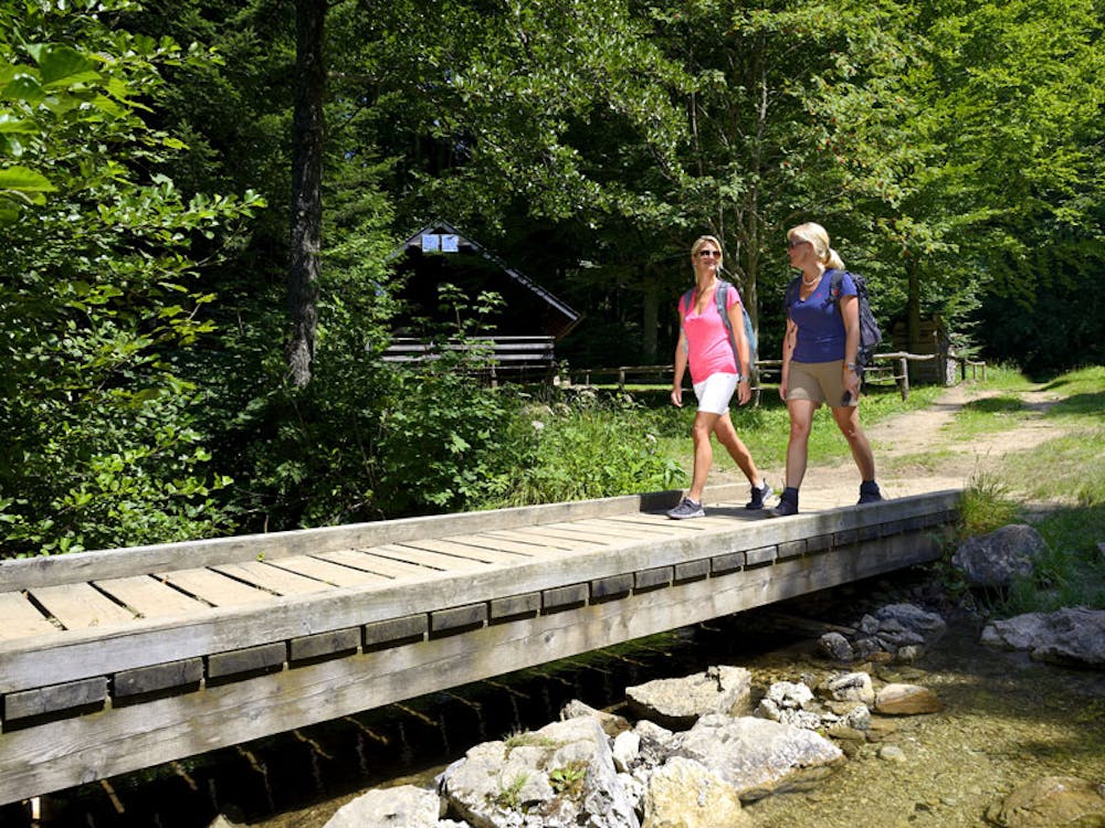
From Grünau im Almtal to Laudachsee (4 ¼ hours)From the tourist office in Grünau (next to the municipal office) you walk down the main road, then left on the Flößerweg and over the Grünaubach bridge. Now you walk 300 meters along the river until you reach the other side of the river via a footbridge and continue on a beautiful hiking trail towards Scharnstein, always along the rushing alp. After 4,7 km (1 ¼ hours walking time) you will reach the stop Kothmühle at a level crossing. Immediately after the level crossing you turn left onto a goods road which leads to the settlement Matzing. Continue straight ahead north until you reach the access road leading from the gliding airfield up to Hochbuchegg (path no. 413 to Laudachsee). Turn left along the road for 300 metres, then turn right and follow a dirt road, later on a footpath, shortening the hairpin bends of the road, up to the stately Hochbuchegg farmstead at 742 m. The 6-kilometre transition to Laudachsee now begins. Continue along a forest road for about 300 metres, then turn left along a footpath up a mountain ridge until you come back onto a forest road, where you will soon reach the Schrattenau hunting lodge (981 m). From the hunting lodge in a general westerly direction, first along a footpath that shortens the bends of the forest road, which then again leads to a fork on the road. Continue flat on the left and finally descend to the beautifully situated Laudachsee (894 m). From Laudachsee to Gmunden, 2 ¾ hoursThe last section of the Salzkammergut Trail runs from Laudachsee first along a forest nature trail in the direction of Gmunden (trail no. 410). On a wide footpath it goes slightly uphill and downhill, past wooden figures, to a fork in the path. To the left, the path branches off to the eastern shore of Traunsee, but our path continues straight on and ascends flat to the summit of Grünberg (1,004 m). Refreshments are only available on Saturdays and Sundays at the nearby Grünbergalm. From Grünberg you can take the cable car down to Gmunden, the cable car runs until 5 p.m., in summer also until 6 p.m. The really last descent of this long-distance hiking trail is on trail no. 410 to the crossing of the Mitterweg, then you have to turn left down to the Weyer district.
Difficulty
Moderate
Hiking along trails with some uneven terrain and small hills. Small rocks and roots may be present.