BergeSeen Trail Etappe 28: Bad Ischl – Bad Ischler Hütte
Guided route: Bad Ischl - Rettenbachtal - Rettenbachalm - Ischler Hütteh
Hiking Difficult
- Distance
- 14 km
- Ascent
- 1.1 km
- Descent
- 172 m
- Duration
- 4-5 hrs
- Low Point
- 461 m
- High Point
- 1.4 km
- Gradient
- 19˚

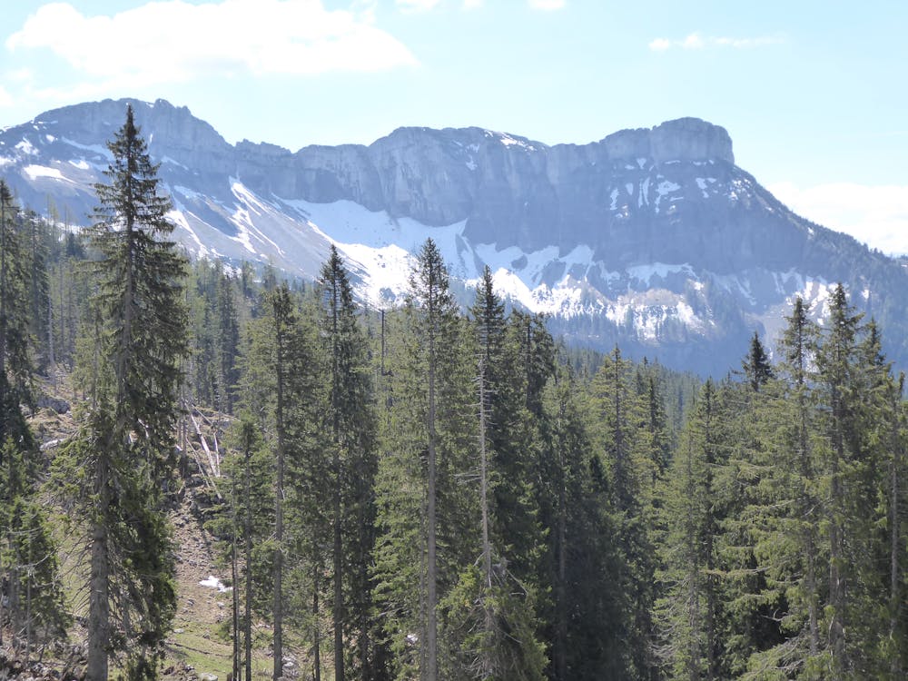
From Bad Ischl to Rettenbachalm (2 ½ hours)The hike begins from the Bad Ischl Tourist Office, housed in the historic drinking hall just south of the parish church. For the time being we follow the Traun up to the Kreuzersteg, where we change the side of the river. There you turn left and continue downriver for a short while, then right across Kochstraße to the bridge over the bypass road and uphill to the famous "Sterzens Abendsitz", a beautiful vantage point under a group of trees. The path continues downhill to Rosenkranzgasse, which you follow a short distance to the left and you continue to a signpost in front of a bridge. Here turn right onto an access road, before the first houses turn left into the forest and downhill into the wild gorge of the Rettenbach, also called Rettenbachwildnis. A footbridge leads to the other side of the stream and ascending you come to the Rettenbachstraße, which you follow to the right. On the sometimes dusty Rettenbachstraße, which is accessible for public transport, you now enter the valley and after 6 kilometres you reach the Rettenbachalm car park. From the Rettenbachalm to the Ischler Hütte (2 ½ hours)The hiking trail leads straight over the flat alpine pasture into the valley to the old and new Solestube (brine measuring point) and to a turnoff. To the right we continue through the gorge to the well-known Blaa-Alm, but our path leads to the left on the forest road for another 500 meters, then to the right on a well-developed hiking trail up to a mountain ridge and over this to the Schwarzenberganger, where a forest road is crossed twice. From the Anger it goes up in a short time into the Beerensattel, 1428 m and descending then the Schwarzenbergalm with its numerous small Almhütten is reached. Among them is also our destination, the stately Ischler Hütte.
Difficulty
Difficult
Hiking trails where obstacles such as rocks or roots are prevalent. Some obstacles can require care to step over or around. At times, the trail can be worn and eroded. The grade of the trail is generally quite steep, and can often lead to strenuous hiking.