BergeSeen Trail Etappe 29: Bad Ischler Hütte - Hochkogelhaus
Guided tour: Ischler Hütte - Schönberg - Hochkogelhaus h
Hiking Severe
- Distance
- 6.2 km
- Ascent
- 789 m
- Descent
- 602 m
- Duration
- 2-3 hrs
- Low Point
- 1.4 km
- High Point
- 2.1 km
- Gradient
- 19˚

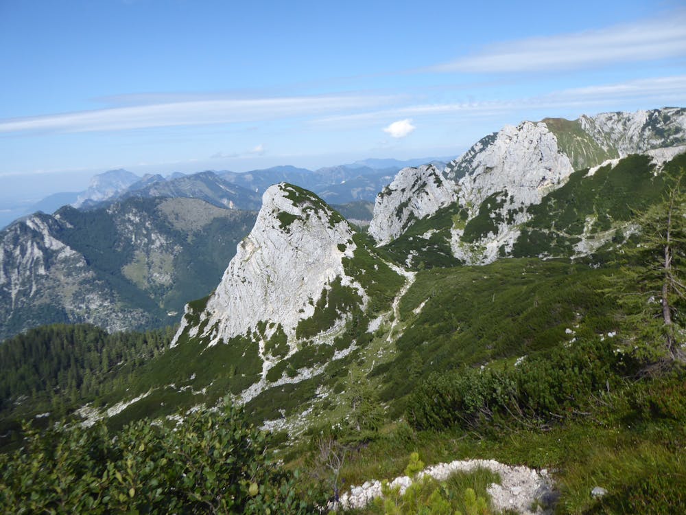
From the Ischler Hütte to the Schönberg (2 hours)From the hut, take trail number 211 in a south-westerly direction over the alpine pasture floor, first flat, then ascending until a turnoff is reached after a walking time of 20 minutes. Here you turn right and follow path number 226 steeply up over an exposed rock step. Then the path winds up through Latschengassen and past many deep dolines and you reach the wide saddle between Altarkögerl on the left (1723 m) and Feuchter Kogel on the right (1781 m). Afterwards the summit cross, which is located on the 2090 m high west summit, is reached over a long grassy mountain flank. The east summit, separated from the west summit by a huge doline, is 3 m higher and can be reached via a secure rock passage. From Schönberg to the Hochkogelhaus (2 hours)The descent to the Hochkogelhaus (trail number 227) leads over the striking northwestern ridge. First it goes over a grassy slope into a saddle, then a short counter ascent, then over the ridge edge a saddle is reached, where you also meet path 211, which comes directly from the Ischler hut. Now it goes right down, then between the Hinteren (left) and the Vorderen Rauhenkogel through to the long visible Hochkogelhaus.
Difficulty
Severe
Hiking challenging trails where simple scrambling, with the occasional use of the hands, is a distinct possibility. The trails are often filled with all manner of obstacles both small and large, and the hills are very steep. Obstacles and challenges are often unexpected and can be unpredictable.