BergeSeen Trail Etappe 37: Steyrer Hütte – Grünau im Almtal
Skigebiet Kasberg Grünau
Guided tour: Steyr Hut - Kasberg - Sepp Huber Hut - Hochberghaus - Grünau im Almtalh
Hiking Difficult
- Distance
- 12 km
- Ascent
- 470 m
- Descent
- 1.3 km
- Duration
- 3-4 hrs
- Low Point
- 517 m
- High Point
- 1.7 km
- Gradient
- 14˚

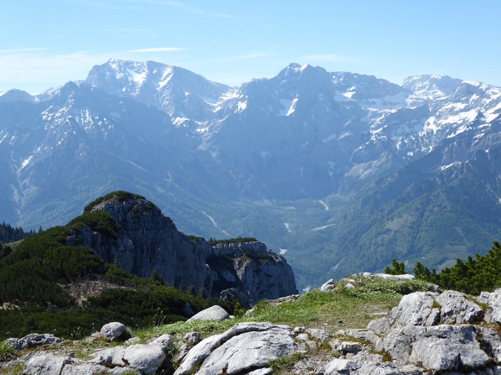
From the Steyrer Hütte to the Kasberg (1 hour)On the marked trail no. 433 you start from the Steyrer Hütte westwards into the hollow under the Kasberg and then left in an arc ascending to the hill north of the 1647 m high Roßschopf. This panoramic summit can be climbed in a few minutes. The path continues northwards and over a ridge you reach the summit cross at Kasberg. The descent from Kasberg to Grünau im Almtal (2 ½ hours)The descent on trail no. 431 initially leads moderately steeply through Latschengassen, then the trail turns west. A rocky, but easy place is overcome with the help of ropes and you then reach the Sepp Huber hut, which stands on an alpine pasture at an altitude of 1506 m. Shortly ascending you continue on the Benn Nock, then on a ridge down to a ski slope, which is followed for a bit. A path branches off to the left and leads to the hunting lodge in Farrenau. The path (no. 431) shortens a bend in the Hochberg toll road, then continues along the road for a short distance, but then turns left on a steep path through the forest down to an alpine pasture floor, 750 m. Further along a brook and soon after the first houses of the Grünau are reached. Keep left and you will reach the centre of the village with the parish church. The tourist office is located at the municipal office in Grünau im Almtal.
Difficulty
Difficult
Hiking trails where obstacles such as rocks or roots are prevalent. Some obstacles can require care to step over or around. At times, the trail can be worn and eroded. The grade of the trail is generally quite steep, and can often lead to strenuous hiking.