BergeSeen Trail Etappe 43: Zell am Moos - Mondsee
Guided route: Zell am Moos - North shore of the Irrsee - West shore of the Irrsee - Mondseeh
Hiking Moderate
- Distance
- 18 km
- Ascent
- 163 m
- Descent
- 243 m
- Duration
- 3-4 hrs
- Low Point
- 486 m
- High Point
- 578 m
- Gradient
- 2˚

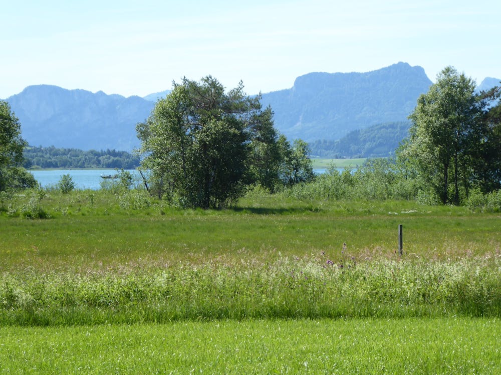
From the church in Zell am Moos, walk north along the village road until the Irrseeweg branches off to the left, where you come to the farmhouses of Unterschwand and then to a camping site. After a small bridge, turn right up to the main road and continue along the asphalt footpath and cycle path next to the road for 1 kilometre. Continue along a narrow road to the left until you reach the village of Laiter, which is also the northern end of Lake Irrsee. Now we continue on a narrow road towards the west to a beautiful vantage point at the edge of the extensive moor. After a short ascent through a wood, the path turns south to the Fischhof, then continues on the narrow road, always with a beautiful view of the lake, to the Hotel-Restaurand Dorferwirt, then past camping Steininger and on to the southern shore of the Irrsee. At a junction, turn right onto a freight road to Vorderau, then to Punzau to Fohlenhof. Soon after, a bridge is reached that leads over the Zell Ache. Now not over the bridge but to the right along the brook until one changes at a chapel the brook side and immediately thereafter to the very beautifully situated snack station Erlbachmühle. Further it goes on on a footpath along the river Ache to the first houses of Mondsee and soon thereafter to the centre.
Difficulty
Moderate
Hiking along trails with some uneven terrain and small hills. Small rocks and roots may be present.