Dachstein Rundwanderweg 6. Etappe
Dachstein Salzkammergut
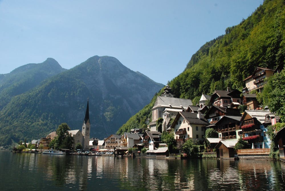
From the Steinitzenalm along the Traun and by ferry across the lake to Hallstatt.
Also in Steiermark, Austria
Hiking Difficult
- Distance
- 27 km
- Ascent
- 398 m
- Descent
- 869 m
- Duration
- 6-7 hrs
- Low Point
- 508 m
- High Point
- 982 m
- Gradient
- 10˚

This is a popular hiking route which is generally considered to be difficult. It's an unknown remoteness, it features unknown exposure and is typically done in an unknown time of year. From a low point of 508 m to the maximum altitude of 982 m, the route covers 27 km, 398 vertical metres of ascent and 869 vertical metres of descent.
Description
On this stage the route continues downhill and along a river, the Traun, to Hallstätter See. We cross it by ferry and reach the stage destination: Hallstatt. "https://www.dachsteinrundwanderweg.at/de "More information and offers about "Hiking without luggage
Difficulty
Difficult
Hiking trails where obstacles such as rocks or roots are prevalent. Some obstacles can require care to step over or around. At times, the trail can be worn and eroded. The grade of the trail is generally quite steep, and can often lead to strenuous hiking.