Georundwanderweg
Dachstein Salzkammergut
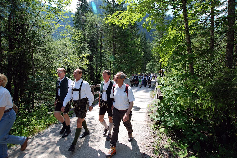
This easy circular hiking trail can be walked on with sturdy shoes even in rainy weather.
Hiking Moderate
- Distance
- 3 km
- Ascent
- 74 m
- Descent
- 75 m
- Duration
- 0-1 hrs
- Low Point
- 766 m
- High Point
- 821 m
- Gradient
- 4˚

The circular hiking trail can also be walked in bad weather with hiking boots and starts at the Gosauschmied. We start our tour diagonally opposite the inn and walk along the reservoir. We cross the road and follow the path until we reach path W1. We then follow the panoramic path back to the starting point, where the streams you cross are the Brunnbäche. As is known from dyeing experiments, a large part of this water comes from the Dachstein plateau, a part even from the Dachstein glaciers. This explains why these streams do not dry out even in hot and dry periods. Every "Brunnbach spring" has its own taste. Try it! through the forest you have a short view of the reservoir here and there. After a rather steep section you should not immediately return to the road, but continue along the "Panoramawegerl" parallel to the edge of the forest to the Gasthof Gamsjäger (100 m from the starting point). "Order hiking maps of the Dachstein Salzkammergut region ... https://www.dachstein-panorama.at/?s=pano68545&utmsource=tourdata&utmmedium=textlink&utmcampaign=tourdata360tour" https://www.dachstein-panorama.at/?s=pano68545&utmsource=tourdata&utmmedium=textlink&utmcampaign=tourdata360tour "To the 360° panorama tour through the Gosau valley ... "Mountain rescue: 140
Difficulty
Moderate
Hiking along trails with some uneven terrain and small hills. Small rocks and roots may be present.