Hütteneckalm
Dachstein Salzkammergut
Simple, but scenically very impressive alpine hike on wide paths and narrow paths with two short steep passages.
Hiking Easy
- Distance
- 5.6 km
- Ascent
- 342 m
- Descent
- 123 m
- Duration
- 1-2 hrs
- Low Point
- 972 m
- High Point
- 1.2 km
- Gradient
- 8˚

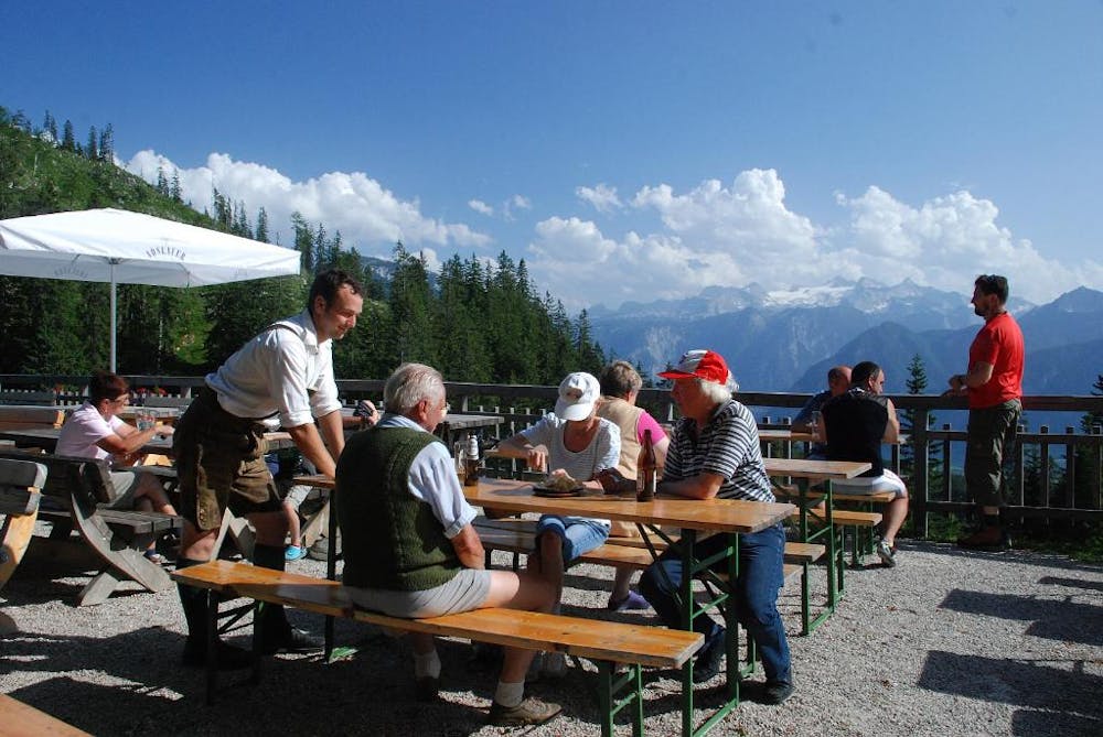
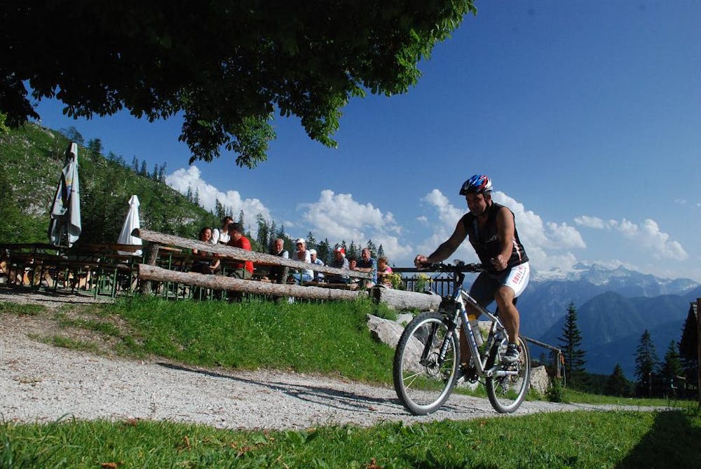
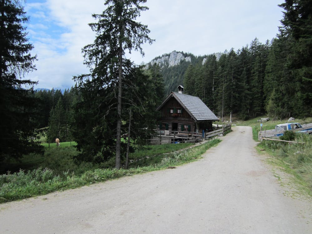
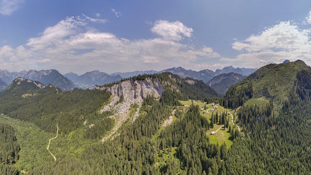
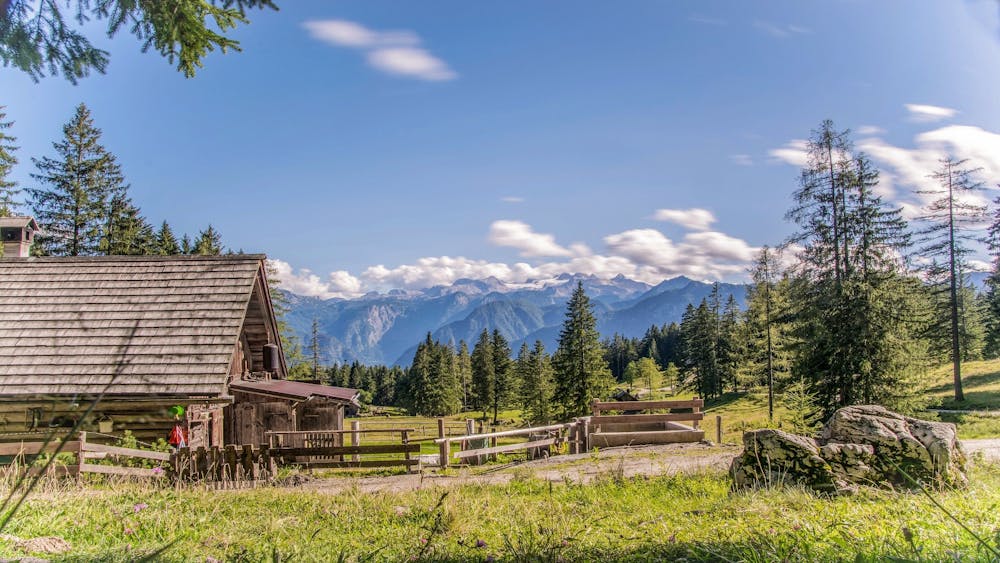
For those interested in geology, the hike around the Zwerchwand is a treasure trove: the small rock ridge between Bad Ischl and Bad Goisern sent around 60,000 m³ of rock into the depths on 15 October 1978. Since then, the steep south-side abyss has no longer come to rest; in 1983, even larger boulders thundered down. Right next to the chaos of a landslide, in which even a mini-Matterhorn with a summit cross lures you to scramble, an idyll awaits you that has already inspired Romantic painters and the mountain-capable Empress Elisabeth: the hospitable Hütteneckalm with its famous Dachstein view.

- •
- •
- •
- •
- •
- •
- •
- •
- •
Description
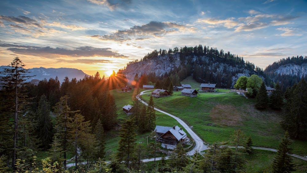
From the rebuilt Salettl (viewing pavilion) you can enjoy the panorama of the Hohe Sarstein, the glacier magic and the rugged Plassen in a special way. We walk up from the parking lot to the nearby Berghof Predigstuhl. Pass it on the right, briefly upwards through the forest and then turn right on the marked forest road. After about 200 m turn right and follow the gently ascending forest path to the Roßmoosalm. At the top of the meadow we reach another forest road, where we turn right.
After the top hut turn left and through a forest hollow uphill until we turn left to Stiegl. On a narrow, steep and sparsely marked path up to the jagged rocks and a small embrasure. Behind it to the right, across the sparsely wooded slope and then on a cart track (beware, there are deep crevasses to the right and left!) to a forest road on which you reach the ditch via a hilltop. On the right ascending into the valley at the foot of the Hohe Rosenkogel, from where on the right a new path leads up through the forest and over the large alpine meadow to the wide saddle below the Zwerchwand. Turn right to the nearby Hütteneckalm.
Back to the saddle, but now straight on the wide way to the landslide area on the south side of the Zwerchwand. Soon on a narrow path between the big boulders and past the cross-decorated Matterhörndl, up a short ladder and back on the forest path to the Roßmoosalm. On the access road to the starting point.
Order hiking maps to the Dachstein Salzkammergut region ...
( http://dachstein.salzkammergut.at/kartenbestellung.html ) To the 360° panorama tour through Bad Goisern ... ( https://www.dachstein-panorama.at/?s=pano68533&utmsource=tourdata&utmmedium=textlink&utmcampaign=tourdata360tour )
Mountain rescue: 140
equipment
Difficulty
Easy
Walking along a well-kept trail that’s mostly flat. No obstacles are present.