Roßleithen-Hinterstoder
Hinterstoder
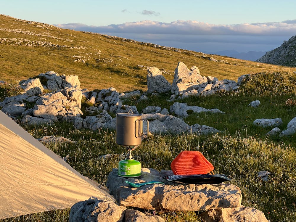
3 day summer multiday-hike 14.08.2023-16.08.2023
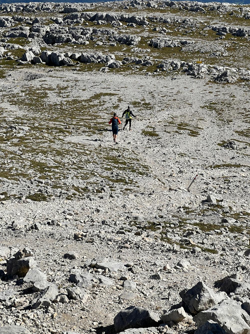
Hiking Difficult
- Distance
- 25 km
- Ascent
- 2.3 km
- Descent
- 1.6 km
- Duration
- 1 day +
- Low Point
- 686 m
- High Point
- 2.4 km
- Gradient
- 22˚

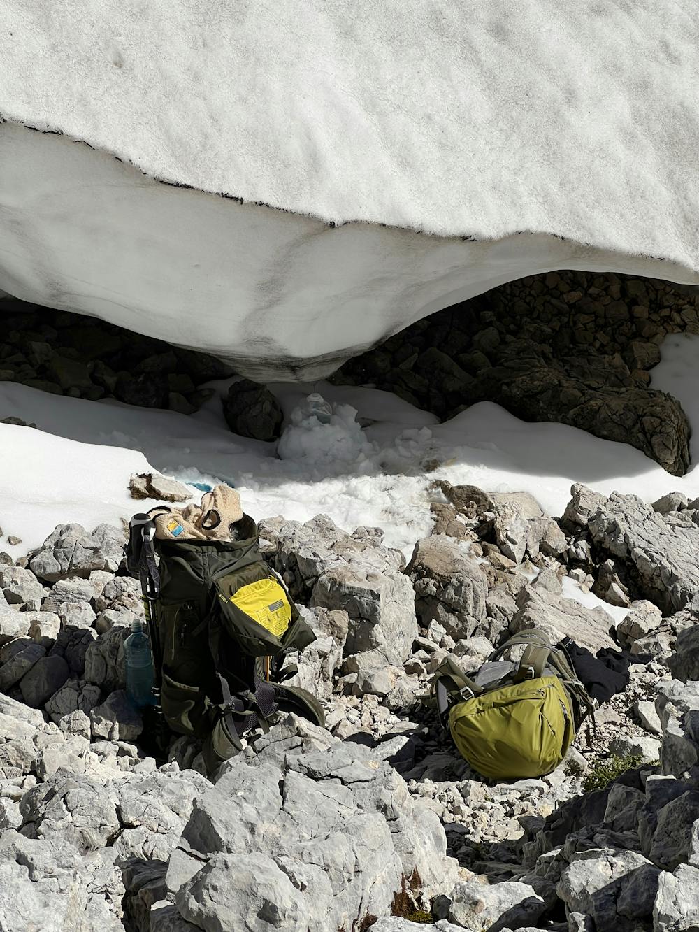
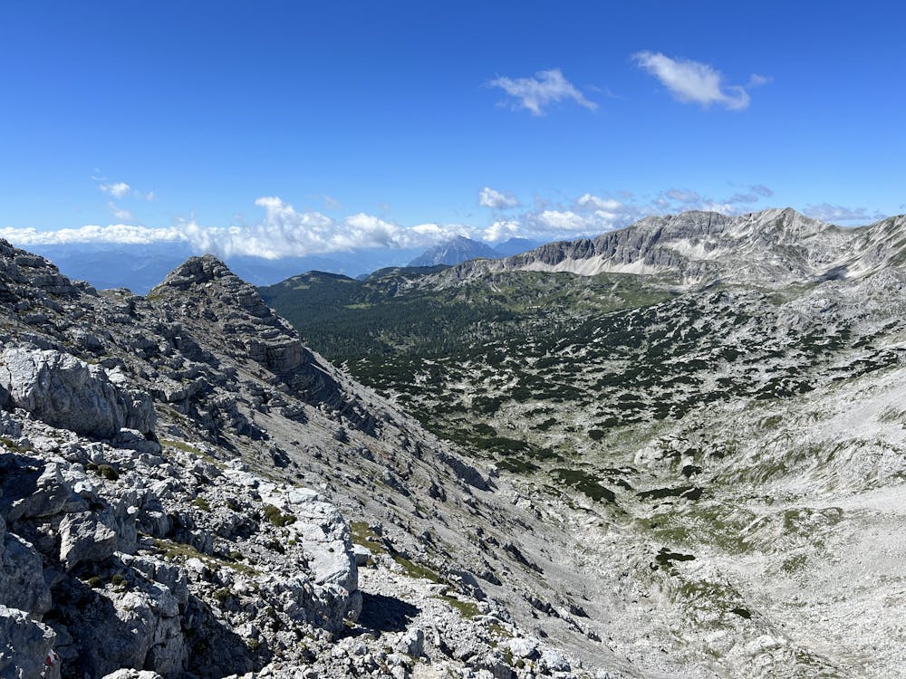
This is a popular hiking route which is generally considered to be difficult. It's remote, it features medium exposure and is typically done between April and September. From a low point of 686 m to the maximum altitude of 2.4 km, the route covers 25 km, 2332 vertical metres of ascent and 1618 vertical metres of descent.
- •
- •
- •
- •
- •
- •
Description
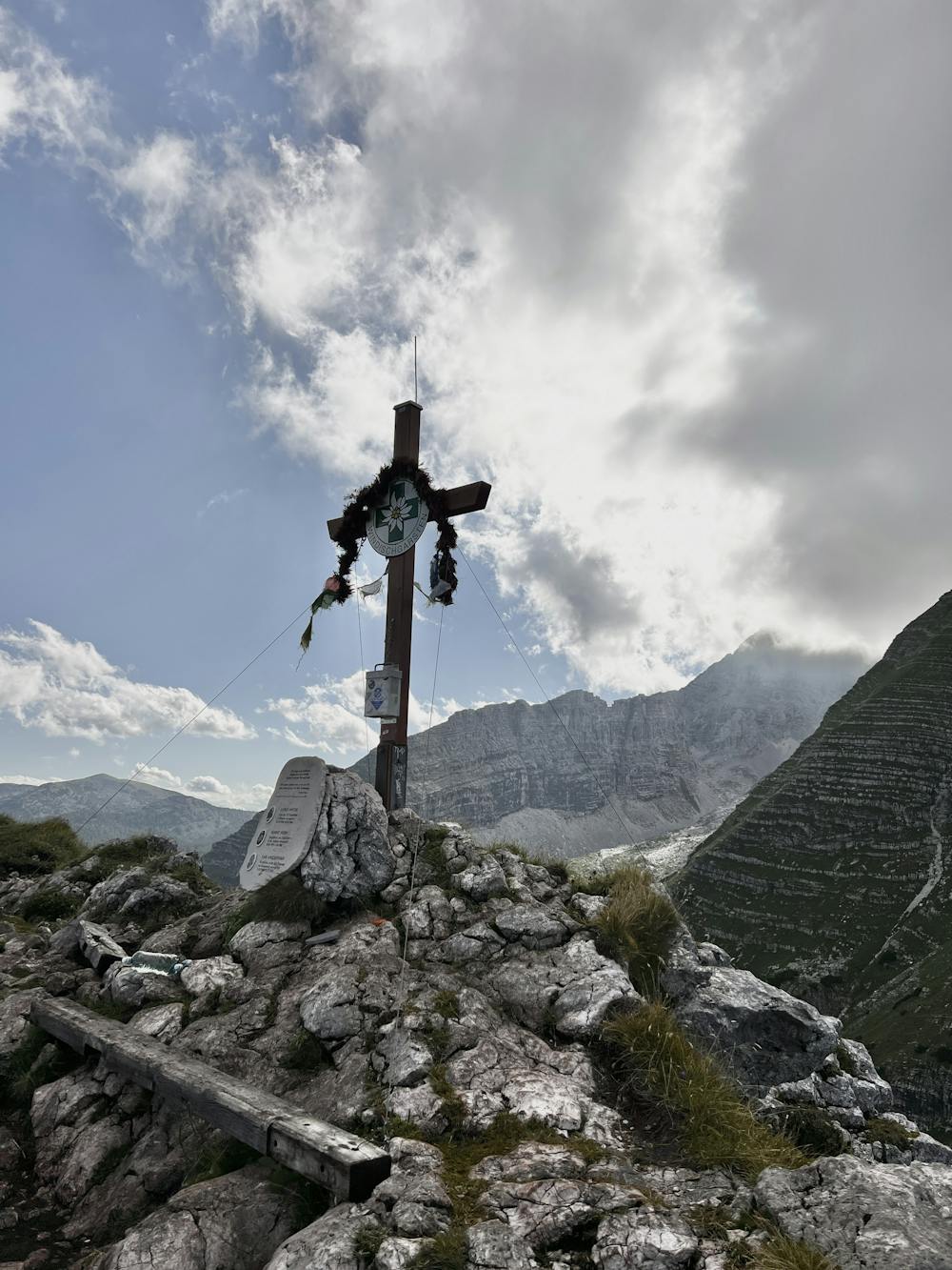
Roßleithen-Dümlerhütte-Rote Wand-Toter Mann (camp)-Warschenek-Schrocken(camp)-Hinterstoder
Difficulty
Difficult
Hiking trails where obstacles such as rocks or roots are prevalent. Some obstacles can require care to step over or around. At times, the trail can be worn and eroded. The grade of the trail is generally quite steep, and can often lead to strenuous hiking.
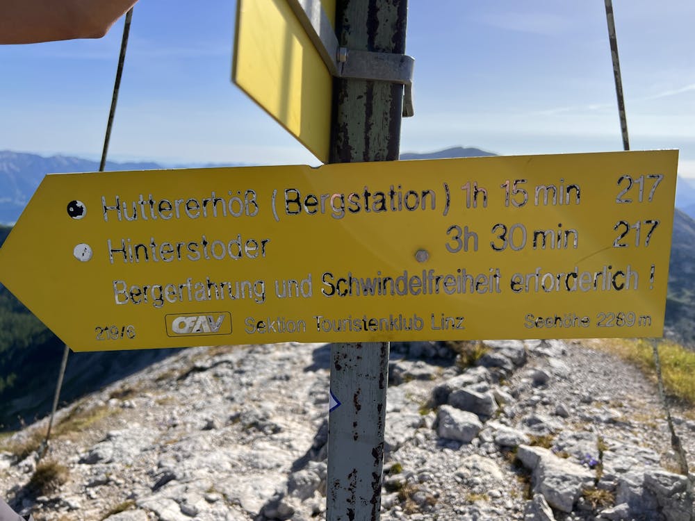
Medium Exposure

The trail contains some obstacles such as outcroppings and rock which could cause injury.
Remoteness
Away from help but easily accessed.
Best time to visit
Features
- Alpine
- Summit Hike