Roßleithen-Wurzeralm Talstation
Wurzeralm Arena
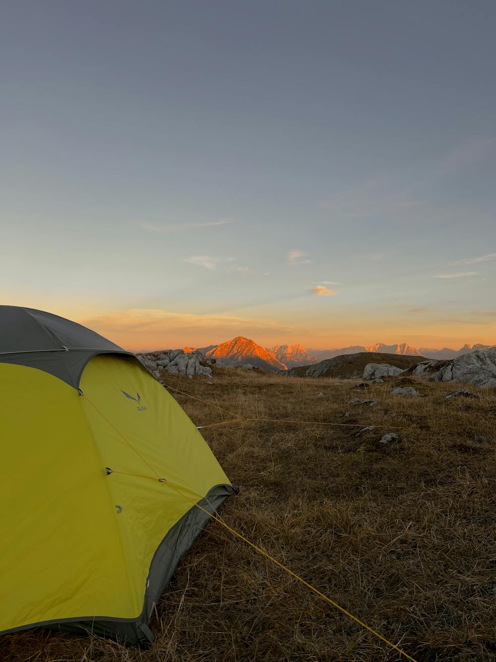
2 day late fall hike 27.10.2022-28.10.2022
Hiking Moderate
- Distance
- 18 km
- Ascent
- 1.5 km
- Descent
- 1.4 km
- Duration
- 6-7 hrs
- Low Point
- 687 m
- High Point
- 2 km
- Gradient
- 18˚

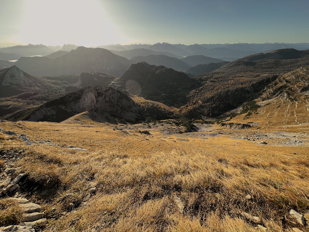
This is a popular hiking route which is generally considered to be moderate. It's remote, it features medium exposure and is typically done between March and October. From a low point of 687 m to the maximum altitude of 2 km, the route covers 18 km, 1479 vertical metres of ascent and 1373 vertical metres of descent.
Description
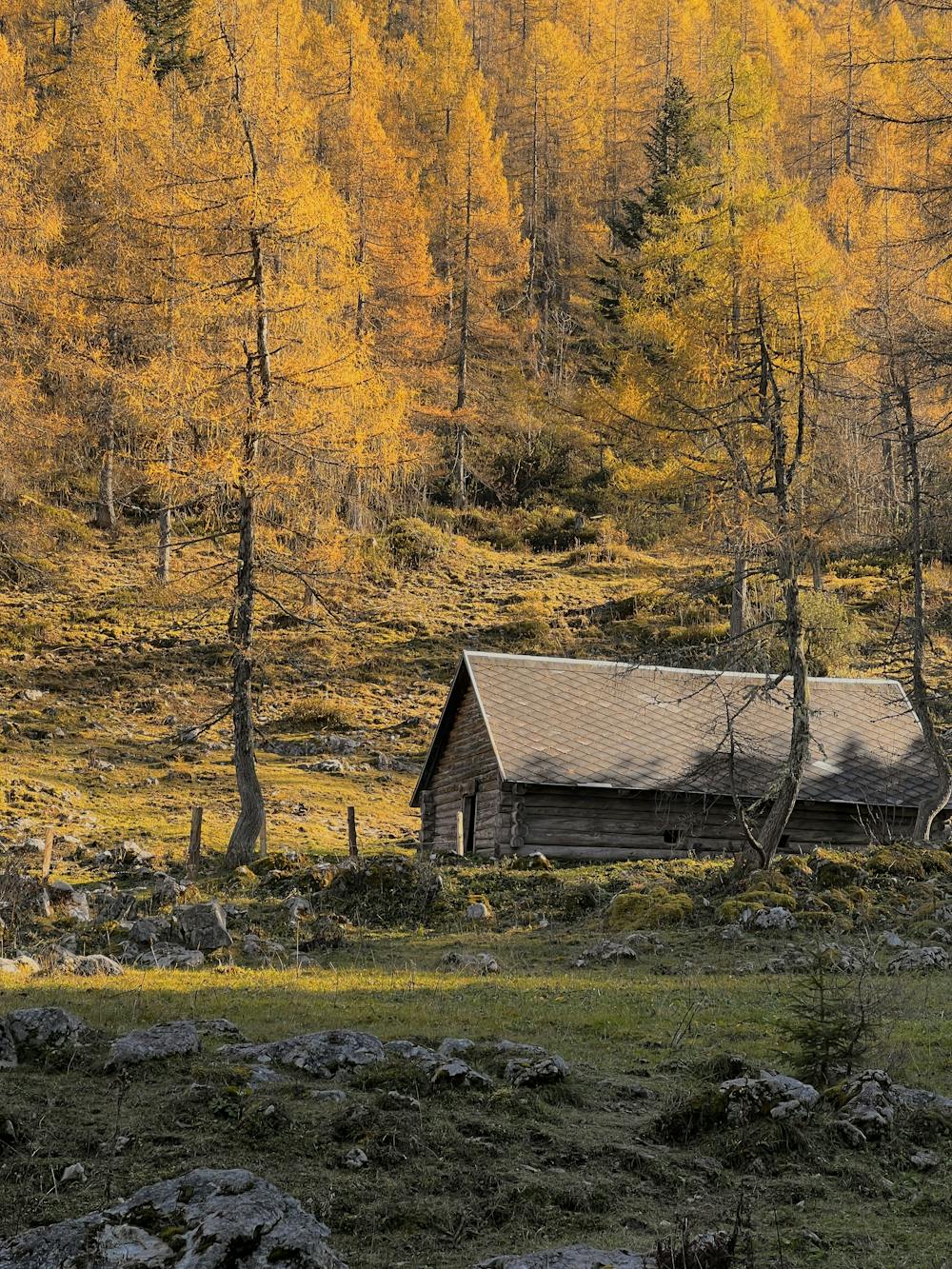
Late fall hike Keypoints featured below: Roßleithen-Dümlerhütte-Toter Mann (camp)-Wurzeralm Brunnsteinersee-Wurzeralm Talstation
Difficulty
Moderate
Hiking along trails with some uneven terrain and small hills. Small rocks and roots may be present.
Medium Exposure

The trail contains some obstacles such as outcroppings and rock which could cause injury.
Remoteness
Away from help but easily accessed.
Best time to visit
Features
- Alpine