Vom Vorderen Gosausee auf die Zwieselalm
Dachstein Salzkammergut
From the Vorderen Gosausee to the Zwieselalmhöhe.
Also in Salzburg, Austria
Hiking Severe
- Distance
- 3 km
- Ascent
- 674 m
- Descent
- 0 m
- Duration
- 1-2 hrs
- Low Point
- 935 m
- High Point
- 1.6 km
- Gradient
- 17˚

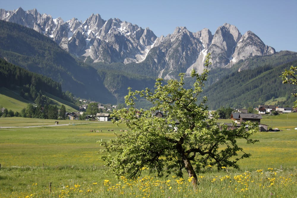
After the Gasthof Gosausee, turn right towards Seeklausalm, but before you reach it, turn right onto the W 620 hiking trail. The serpentine path leads mostly steeply uphill, past the Krautgartenhütte (1,266 m). At the turn-off, keep right along the W 620 hiking trail until you finally reach the cable car and the Zwieselalm. After approx. 1 hour and 30 minutes you reach the beautiful alp with its huts and the overwhelming view to the mighty peaks of the Gosaukamm, King Dachstein, the Vorderen Gosausee and the surrounding mountains. The easy variant leads you with the Gosaukammbahn to the Zwieselalm. http://dachstein.salzkammergut.at/maporder.html "Order hiking maps to the Dachstein Salzkammergut region ...:
Difficulty
Severe
Hiking challenging trails where simple scrambling, with the occasional use of the hands, is a distinct possibility. The trails are often filled with all manner of obstacles both small and large, and the hills are very steep. Obstacles and challenges are often unexpected and can be unpredictable.