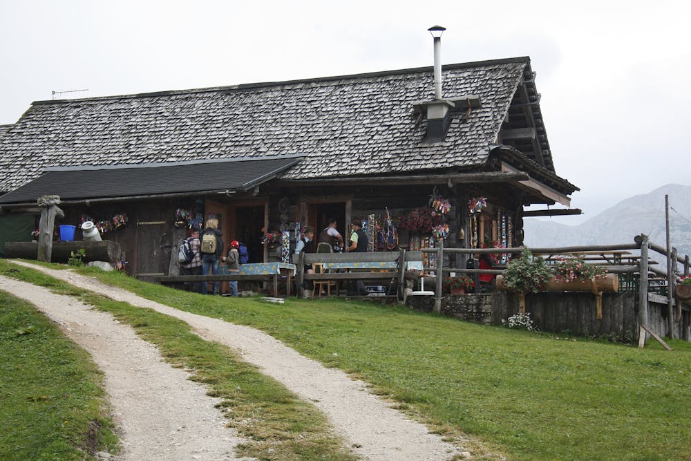
Weg auf die Plankensteinalm
Dachstein Salzkammergut
Beautiful hiking trails to the largest contiguous alpine pasture area in the region.
Hiking Difficult
- Distance
- 8.5 km
- Ascent
- 809 m
- Descent
- 8 m
- Duration
- 3-4 hrs
- Low Point
- 720 m
- High Point
- 1.5 km
- Gradient
- 11˚

Starting point Vordertal: The hike to the Plankensteinalm starts from the car park near the sports centre. The first part leads along the Gosaubach before you turn into the forest on the hiking trail W 513, W 648 and W6. Along the Brielgraben and past the Roßalmgraben the path continues to a turn-off. From the car park near the Honspitzbahn, the W 511 hiking trail leads comfortably through the forest to the Schäferalm (not managed). That's where the road divides. Either continue towards the hiking trail W 513 to the Plankensteinalm or take a small detour and turn right towards Löckernmoosberg. In addition to an overwhelming natural landscape, the raised ceiling moor also offers rare animal and plant species. The trail continues past the Triamerhütte to the Plankensteinalm. Starting point Hintertal: Shortly before the reservoir in Gosau Hintertal there is a small car park on the left side. From there the trail leads partly along the forest road and partly through the forest to the Badstubenhütte at the grinding stone quarries. From there the trail leads through the Löckernmoos past the Triamerhütte to the Plankensteinalm. "Order hiking maps to the Dachstein Salzkammergut region ... https://www.dachstein-panorama.at/?s=pano68574&utmsource=tourdata&utmmedium=textlink&utmcampaign=tourdata360tour" https://www.dachstein-panorama.at/?s=pano68574&utmsource=tourdata&utmmedium=textlink&utmcampaign=tourdata360tour "To the 360° panorama tour through the Gosau valley ...mountain rescue: 140
Difficulty
Difficult
Hiking trails where obstacles such as rocks or roots are prevalent. Some obstacles can require care to step over or around. At times, the trail can be worn and eroded. The grade of the trail is generally quite steep, and can often lead to strenuous hiking.