Bad Goisern - Attersee mit dem Rennrad Variante II - lang
Dachstein Salzkammergut
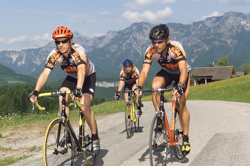
Discover the Salzkammergut and the most beautiful lakes by bike.
Road Biking Severe
- Distance
- 128 km
- Ascent
- 1.2 km
- Descent
- 1.2 km
- Duration
- 6-7 hrs
- Low Point
- 448 m
- High Point
- 619 m
- Gradient
- 3˚

The start will be at the Landhotel Agathawirt in Bad Goisern a. H. (district St. Agatha). On the federal road B145 we go to Bad Ischl. In Bad Ischl Nord we turn towards Ebensee / Gmunden. Not yet completely arrived in Ebensee we turn left into Weißenbachtal (B153) to Weißenbach am Attersee. The route continues to Steinbach and Weyregg. Via Schörfling and Seewlachen, Attersee and Nussdorf we finally reach Unterach and then continue towards Mondsee. As with the short route, we then continue via Wiesenau and Schafling to St. Gilgen, then on to Strobl and Bad Ischl before returning to the starting point "Landhotel Agathawirt".
Difficulty
Severe