Hochmuth-Runde
Dachstein Salzkammergut
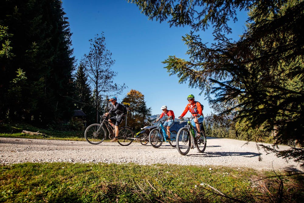
The Hochmuthrunde is a classic in the mountain bike tour book of the Dachstein Salzkammergut. We mountain bikers move on large parts along the "Chorinsky Klause offers real highlights before you can enjoy the view above Hochmuth over Bad Goisern.
Road Biking Difficult
- Distance
- 23 km
- Ascent
- 779 m
- Descent
- 778 m
- Duration
- 1-2 hrs
- Low Point
- 485 m
- High Point
- 955 m
- Gradient
- 9˚

The highlight of the mountain bike tour:Is it the picturesque Weißenbachtal to experience on the mountain bike!The Hochmuthrunde is a classic in the mountain bike tour book of the Dachstein Salzkammergut. We mountain bikers move on large parts along the https://dachstein.salzkammergut.at/oesterreich/veranstaltung/48220006/salzkammergut-mountainbike-trophy--2019: https://dachstein.salzkammergut.at/oesterreich/veranstaltung/48220006/salzkammergut-mountainbike-trophy--2019.html "Salzkammergut Mountainbike Trophy. Especially because of the short 24 km the tour is recommended for a fast regeneration ride. The picturesque Weißenbachtal with its Brunntalalm and the https://dachstein.salzkammergut.at/oesterreich/poi/400418/chorinsky-klause: https://dachstein.salzkammergut.at/oesterreich/poi/400418/chorinsky-klause.html "Chorinsky Klause offers real highlights before you can enjoy the view above Hochmuth over Bad Goisern. We start at the tourist information Goisern, drive into the village on asphalt immediately to the right over the main square, at the church turn right, then over the Traun bridge, there immediately sharp right along the Hanuschhofstraße. We then turn right towards Hanuschhof, the roads will soon become narrower. We finally arrive at Weißenbach where we turn right after the Chorinskyklause inn along the forest road. After slight ascents we reach the Brunntalalm, where the actual ascent of the tour begins. Now we always keep half left and reach the highest point (970 HM). A beautiful forest path now leads downhill. We pass Hochmuth and then drive downhill on a relatively steep asphalted road. We keep descending along the wider road, first to the right and at the next junction to the left. If you come to a fork in the road at Steinach, then turn left, we cross the Traunbrücke bridge and turn left in Bad Goisern back to our starting point. "Order mountain bike map for all routes in the Salzkammergut ...Mountain rescueTo the 360° panorama tour through Bad Goisern ...
Difficulty
Difficult