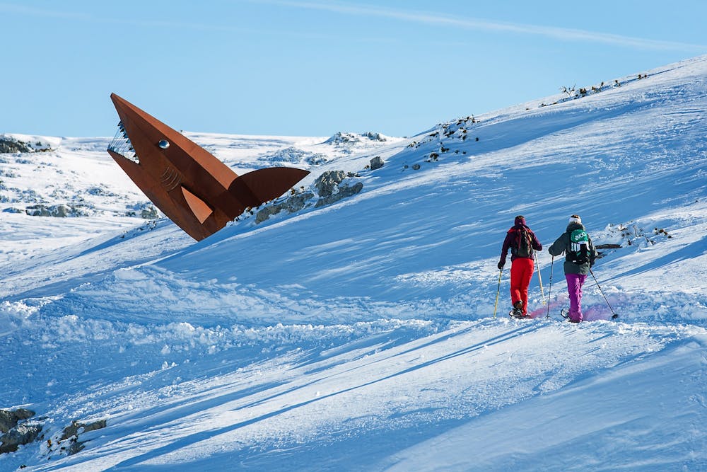
Schneeschuhtrail Dachstein-Hai
Dachstein Salzkammergut
Discover the Dachstein shark in winter!
Snow Shoeing Moderate
- Distance
- 1.3 km
- Ascent
- 19 m
- Descent
- 102 m
- Duration
- 0-1 hrs
- Low Point
- 2 km
- High Point
- 2.1 km
- Gradient
- 16˚

Starting at the top station of the Dachstein-Krippensteinseilbahn cable car, the trail first leads along the ski slope towards the chairlift valley station and on to the plate lift in the valley. You leave the secured ski room after crossing the lift track at the upper end. In the open terrain, it goes first slightly downhill and later again 15 altitude meters uphill. Here you can explore the small Krippensteineishöhle on your own when the snow is low. 50 m after the ice cave you turn half left and walk about 20 minutes northeast along a slightly sloping slope to your destination Dachstein-Hai. The same way you go back. The trail is groomed and marked every 30 - 40 m with poles and yellow signs with the inscription "Dachstein-Hai". 360° Panorama Tour, Krippenstein/Obertraun ...Mountain Rescue: 140
Difficulty
Moderate