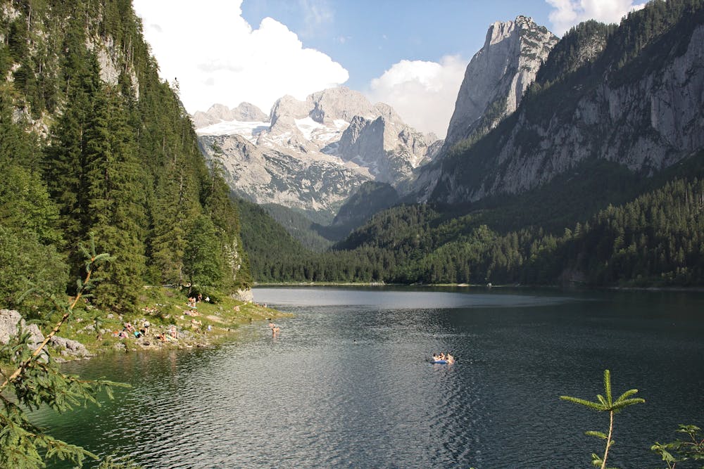
Rund um den Gosausee
Dachstein Salzkammergut
Once around the Gosausee, the path around the Gosausee is closed due to avalanche danger.
Trail Running Easy
- Distance
- 4.5 km
- Ascent
- 100 m
- Descent
- 101 m
- Duration
- 0-1 hrs
- Low Point
- 931 m
- High Point
- 966 m
- Gradient
- 5˚
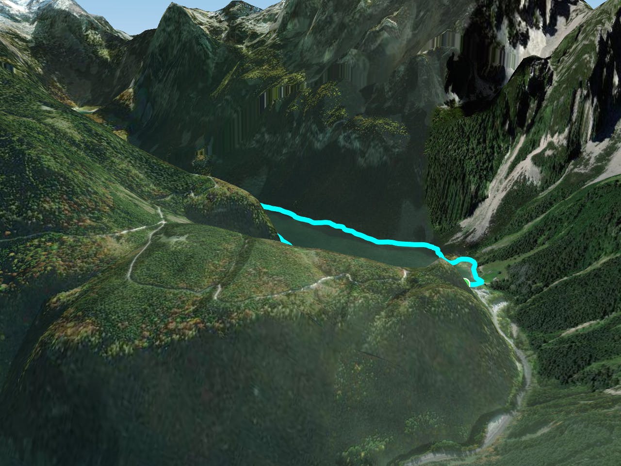
The best way to start is on the left side of the lake. There you walk along the lake with a view of the majestic Dachstein. Flanked partly by steep rock faces, partly by forest, you pass a meadow that invites you to rest and swim. At the rear end of the lake, a forest road branches off towards Hinterer Gosausee, but this is another hike. On the other side of the lake you will finally pass crystal-clear streams and springs and you will also see some fire salamanders. "Order hiking maps of the Dachstein Salzkammergut region ... https://www.dachstein-panorama.at/?s=pano68584&utmsource=tourdata&utmmedium=textlink&utmcampaign=tourdata360tour" https://www.dachstein-panorama.at/?s=pano68584&utmsource=tourdata&utmmedium=textlink&utmcampaign=tourdata360tour "To the 360° panorama tour around the Gosausee ...In emergencies call the mountain rescue at 140
Difficulty
Easy