Oberer Trogalmsee Freeride
Großeck-Speiereck
route from top of Speiereck
Freeride Skiing Difficult
- Distance
- 2.3 km
- Ascent
- 19 m
- Descent
- 542 m
- Low Point
- 1.8 km
- High Point
- 2.3 km
- Gradient
- 34˚
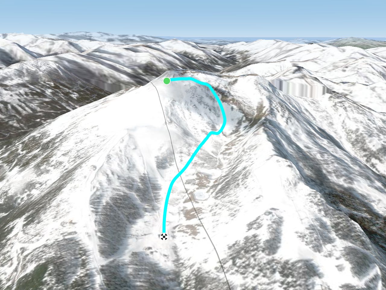
This is a popular freeride skiing route which is generally considered to be difficult. It's not remote, it features medium exposure (e2) and is typically done between January and February. From a low point of 1.8 km to the maximum altitude of 2.3 km, the route covers 2.3 km, 19 vertical metres of ascent and 542 vertical metres of descent. It's graded 4.2 and Labande grade 4.
Description
- Difficult to severe route
- Lift acces
- Walking not required
- Steep
Difficulty
Difficult
Serious gradient of 30-38 degrees where a real risk of slipping exists.
Medium Exposure (E2)

As well as the slope itself, there are some obstacles (such as rock outcrops) which could aggravate injury.
Remoteness

Close to help in case of emergency.
Best time to visit
Features
- Cliffs