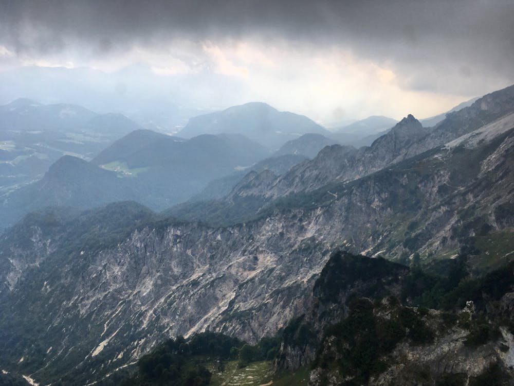
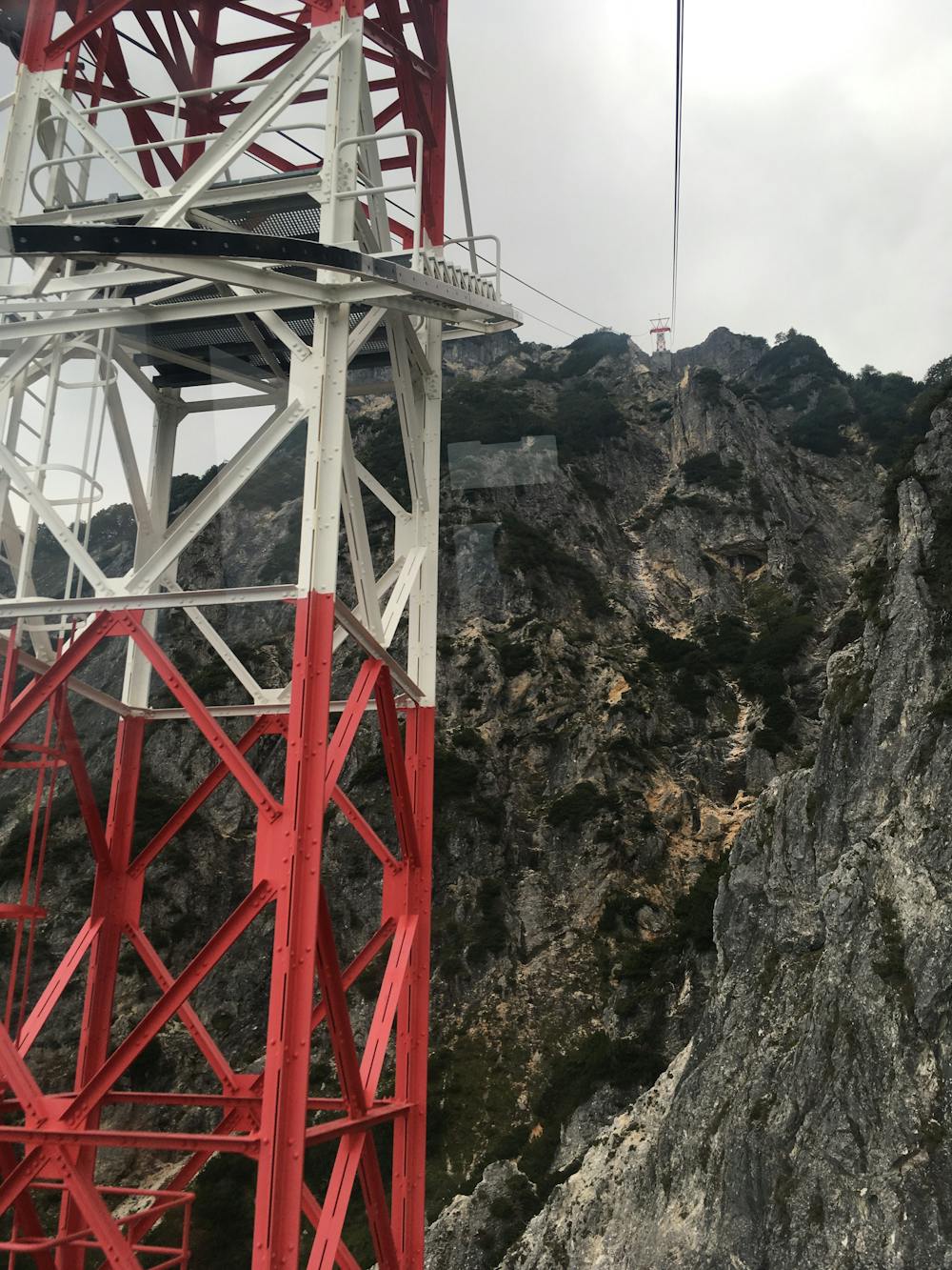
Salzburg -> Untersbergbahn
Out-and-back ride to the stunning Untersbergbahn gondola!
Gravel Biking Easy
- Distance
- 29 km
- Ascent
- 130 m
- Descent
- 130 m
- Duration
- 1-2 hrs
- Low Point
- 412 m
- High Point
- 455 m
- Gradient
- 1˚

This is a popular gravel biking route which is generally considered to be easy. It's an unknown remoteness, it features unknown exposure and is typically done in an unknown time of year. From a low point of 412 m to the maximum altitude of 455 m, the route covers 29 km, 130 vertical metres of ascent and 130 vertical metres of descent.
- •
- •
Description
A mixed-surface ride that's ideal for a gravel bike, from downtown Salzburg to the stunning Untersbergbahn gondola.
Difficulty
Easy